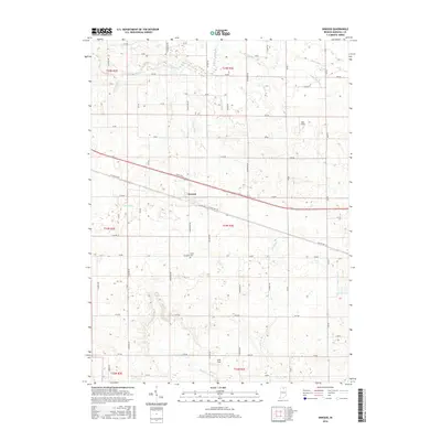
2016 Map of Inwood
USGS Topo · Published 2016About this map
Inwood sits at the heart of this North Central Indiana landscape, where the legacy of the E Lincoln Hwy and Old US Hwy 30 shapes the local geography. The area is defined by an extensive network of drainage infrastructure, with named waterways such as Dausman Ditch, Brock Ditch, and Stone Ditch channeling water across the township grid toward the Yellow River in the north. This engineering reflects the region's agricultural transition, where former wetlands were methodically converted into productive farmland.
Find a feature on this map
64 named features on this map. Tap any name to fly to it.
Don’t see what you’re looking for? This feature index may not catch every label — zoom into the map to look around manually.
Map Details
Editions of this 2016 Inwood Map
This is the sole edition of this map. No revisions or reprints were ever made.
Other maps of this area

1953 · Chicago
USGS Topo · 1:250,000

1957 · Chicago
USGS Topo · 1:250,000

1957 · Inwood
USGS Topo · 1:24,000

1957 · Plymouth
USGS Topo · 1:24,000

1958 · Bremen
USGS Topo · 1:24,000

1958 · La Paz
USGS Topo · 1:24,000

1958 · Nappanee West
USGS Topo · 1:24,000

1958 · Bourbon
USGS Topo · 1:24,000

1959 · Mentone
USGS Topo · 1:24,000

1962 · Argos
USGS Topo · 1:24,000