Old Maps of Washington Center, Indiana for Hiking & Exploration
Hike through history with 11 historic maps of Washington Center. Explore old trails, ghost towns, and forgotten backroads — perfect for outdoor adventurers and local explorers.
- Rediscover forgotten places: Map out old mining camps, roads, and footpaths that no longer exist on modern maps.
- Layer with modern tools: Combine with LiDAR or satellite views to plan hikes through historical terrain.
- Made for exploration: Popular among hikers, overlanders, and local history lovers.
Use these maps to find adventure and explore the hidden past of Washington Center.
Washington Center, IN maps
(11)- 1951 Map of Ormas, 1952 Print
 1951 Ormas1952 Print · USGSThe Noble and Whitley County borderlands are defined by a dense cluster of glacial lakes and the winding Tippecanoe River during the early fifties. Genealogists and local historians can locate Metz Cem, West Etna Community Ch, and the old Washington Twp Sch.2 unique versions available
 - 1953 Map of Fort Wayne, 1963 Print
 1953 Fort Wayne1963 Print · USGSNortheast Indiana and its neighboring borderlands in Michigan and Ohio appear here during a peak era of rail and road expansion. Researchers can trace the massive rail networks of the Nickel Plate Road and Wabash or locate lakeside landmarks like Lake Wawasee and Clear Lake.4 unique versions available
 - 1956 Map of Fort Wayne
 1956 Fort Wayne1956 Print · USGSThe tri-state borderlands of Indiana, Michigan, and Ohio are captured here in the mid-fifties, centered on the growing industrial hub of Fort Wayne. Researchers can trace the heavy rail lines of the New York Central and Pennsylvania alongside prominent water features like Lake Wawasee and the Maumee River.2 unique versions available
 - 1965 Map of Ormas, 1967 Print
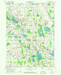 1965 Ormas1967 Print · USGSNoble and Whitley counties are shown in the mid-1960s, a period when this landscape was defined by its dense clusters of glacial lakes and quiet crossroads. Researchers can locate vanished landmarks like Township Sch or trace family history at Wolf Lake Cem and Broadway Ch.
 - 1984 Map of Fort Wayne, 1985 Print
 1984 Fort Wayne1985 Print · USGSNortheast Indiana in the mid-1980s reveals a complex landscape of glacial lakes, thriving college towns, and heavy rail infrastructure. Researchers can trace the development of Winona Lake, locate Manchester College in North Manchester, and find rural landmarks like Oakwood Cem or the Tri-County State Fish and Game Area.
 - 1994 Map of Fort Wayne
 1994 Fort Wayne1994 Print · USGSNortheast Indiana in the mid-nineties shows a landscape deeply tied to its glacial lakes and early rail networks. Genealogists and historians can trace old transit lines like the Old Ind RR and explore lakeside settlements such as Enchanted Hills and Syracuse.
 - 2010 Map of Ormas, 2010 Print
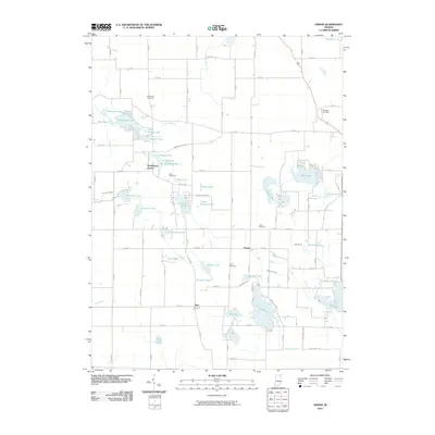 2010 Ormas2010 Print · USGSNoble County's lake country remains a quiet network of small settlements and glacial waters in the early 21st century. Genealogists and local historians can trace family plots at Thorn Cemetery or Scott Cemetery and explore the surroundings of Ormas and Washington Center.
 - 2013 Map of Ormas, 2013 Print
 2013 Ormas2013 Print · USGSThe Indiana lake country comes alive in this modern survey of the upper Tippecanoe River watershed. Genealogists and local historians can trace the rural layout around Washington Center and Ormas, or locate family sites near Loon Lake and Knapp Lake.
 - 2016 Map of Ormas, 2016 Print
 2016 Ormas2016 Print · USGSThe Noble and Whitley county line runs through this lake-rich landscape in the twenty-first century, centered on the historic Tippecanoe River. Local researchers can trace family sites at Wolflake Cem and Thorn Cem or explore the shores of Knapp Lake and Bear Lake.
 - 2019 Map of Ormas, 2019 Print
 2019 Ormas2019 Print · USGSNoble and Whitley County lake country is captured here in the late 2010s, showing a landscape of scattered glacial lakes and rural crossroads. Genealogists can locate family burial sites at Metz or Thorn Cemetery and trace old routes near Ormas and Etna.
 - 2022 Map of Ormas, 2022 Print
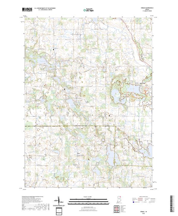 2022 Ormas2022 Print · USGSNoble and Whitley counties are shown here in the 2020s, featuring a landscape defined by the Tippecanoe River and a high density of glacial lakes. Local historians can locate the small settlements of Ormas and Etna alongside several family-named burial grounds like Metz Cem and Scott Cem.
End of results
Showing maps 1-11 of 11
Top cities near Washington Center
- Goshen historical maps
- Warsaw historical maps
- Columbia City historical maps
- Ligonier historical maps
- Winona Lake historical maps
- Benton historical maps
See more
Frequently asked questions
- What are the different types of historical maps available for Washington Center?
- What is the oldest map of Washington Center?
- Where can I purchase historical maps of Washington Center for my home or office?
- Where can I download high-res historical maps of Washington Center?
- Are there historical topographic maps available for Washington Center?
- Is there historical aerial imagery available for Washington Center?
- Where are historical maps of Washington Center sourced from?