Old Maps of Spencer, Indiana for Genealogy
Trace your family roots with 20 historic maps of Spencer. These high-res maps reveal old neighborhoods, homesites, landmarks, and streets — helping you uncover where your ancestors lived and how the area evolved over time.
- Explore historic neighborhoods: Identify where your relatives may have lived in the 1800s or 1900s.
- Compare maps over time: Trace the changes in streets, buildings, and landmarks for multi-generational research.
- Perfect for genealogy & ancestry research: Used by family historians and researchers to map out lineage and migration.
These maps are an incredible resource for exploring your personal connection to Spencer's past.
Spencer, IN maps
(20)- 1947 Map of Gosport, 1958 Print
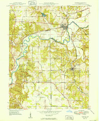
 1947 Gosport1958 Print · USGSMid-century Owen and Monroe counties are seen here through their winding river valleys and small railroad towns. Researchers can trace the heritage of rural congregations and family lands near Stinesville, Shiloh Ch, and the Chambersville Cem.
 - 1950 Map of Gosport
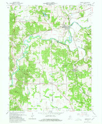
 1950 Gosport1950 Print · USGSMid-century Owen and Monroe Counties center on the winding river valley as the regional rail network and park system flourished. Researchers can trace rural lineages through sites like Old Dutch Ch, Stinesville, and the Chambersville Cem.
 - 1953 Map of Indianapolis, 1965 Print
 1953 Indianapolis1965 Print · USGSCentral Indiana and the Illinois borderlands are captured in the mid-sixties, showing the growth of Indianapolis and its industrial rail corridors. Genealogists and historians can trace the development of outlying towns like Zionsville or Beech Grove and find landmarks such as Atterbury AAF and Turkey Run State Park.4 unique versions available
 - 1956 Map of Indianapolis
 1956 Indianapolis1956 Print · USGSCentral Indiana in the mid-fifties is captured during a period of industrial growth and military presence. Genealogists and historians can trace the rail networks of the New York Central or locate regional landmarks like Fort Benjamin Harrison and Camp Atterbury.
 - 1956 Map of Spencer, 1958 Print
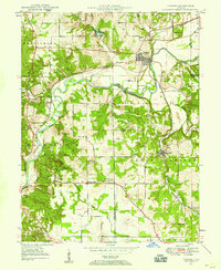
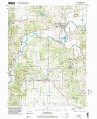
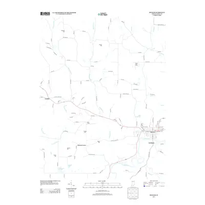
 1956 Spencer1958 Print · USGSOwen County's landscape in the mid-fifties is centered on the river-bend town of Spencer and the wooded tracts of Owen State Forest. Genealogists and historians can trace family burial sites like Palestine Cem or locate the old Pennsylvania rail route and Southport settlement.5 unique versions available
 - 1957 Map of Indianapolis
 1957 Indianapolis1957 Print · USGSCentral Indiana in the mid-fifties is captured here as a crossroads of major rail lines and nascent federal highways. Genealogists and historians can trace family-named ridges like Poplar Ridge or locate strategic sites like Camp Atterbury and Speedway.2 unique versions available
 - 1962 Map of Indianapolis
 1962 Indianapolis1962 Print · USGSCentral Indiana and the Illinois borderlands are captured here in the early sixties, showing the region's dense rail networks and growing urban centers. Genealogists and historians can locate family-named landmarks and institutions like Crown Hill Cem, Indiana University, and the Indianapolis Motor Speedway.
 - 1965 Map of Gosport, 1967 Print
 1965 Gosport1967 Print · USGSOwen and Monroe counties in the mid-1960s reveal a landscape defined by limestone quarrying and river commerce. Genealogists can trace family roots through sites like Van Buskirk Cem, Shiloh Ch, and the rural settlement at Highets Corner.4 unique versions available
 - 1986 Map of Bloomington
 1986 Bloomington1986 Print · USGSMid-century development and vast conservation areas define south-central Indiana during the eighties. Genealogists and historians can trace family roots through numerous landmarks like Beanblossom Cem, New Unionville Church, and the historic corridors of the Indiana RR.3 unique versions available
 - 1998 Map of Gosport, 2002 Print
 1998 Gosport2002 Print · USGSIndiana stone country and the river valley are captured here in the late nineties, showing the industrial and rural character of the region. Researchers can trace the limestone industry through numerous quarries near Stinesville or locate family sites at Gosport Cem and Shiloh Ch.
 - 2010 Map of Gosport, 2010 Print
 2010 Gosport2010 Print · USGSCovers Spencer, including Ellettsville, Gosport, and other nearby areas
 - 2010 Map of Spencer, 2010 Print
 2010 Spencer2010 Print · USGSCovers Spencer, including Vandalia, Southport, and other nearby areas
 - 2013 Map of Gosport, 2013 Print
 2013 Gosport2013 Print · USGSCovers Spencer, including Ellettsville, Gosport, and other nearby areas
 - 2013 Map of Spencer, 2013 Print
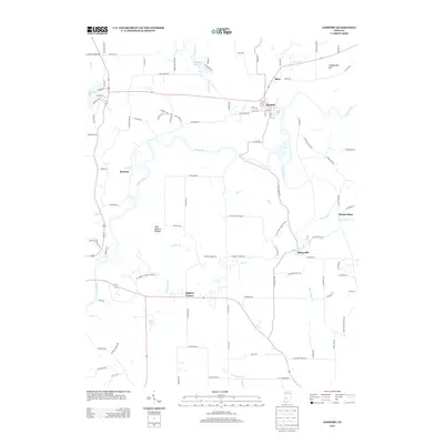
 2013 Spencer2013 Print · USGSCovers Spencer, including Vandalia, Southport, and other nearby areas
 - 2016 Map of Spencer, 2016 Print
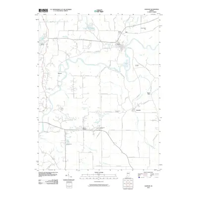
 2016 Spencer2016 Print · USGSCovers Spencer, including Vandalia, Southport, and other nearby areas
 - 2016 Map of Gosport, 2016 Print
 2016 Gosport2016 Print · USGSCovers Spencer, including Ellettsville, Gosport, and other nearby areas
 - 2019 Map of Gosport, 2019 Print
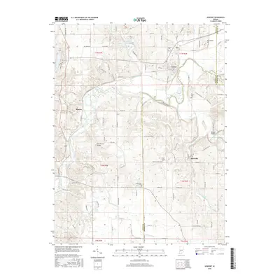
 2019 Gosport2019 Print · USGSCovers Spencer, including Ellettsville, Gosport, and other nearby areas
 - 2019 Map of Spencer, 2019 Print
 2019 Spencer2019 Print · USGSCovers Spencer, including Vandalia, Southport, and other nearby areas
 - 2022 Map of Spencer, 2022 Print
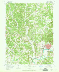
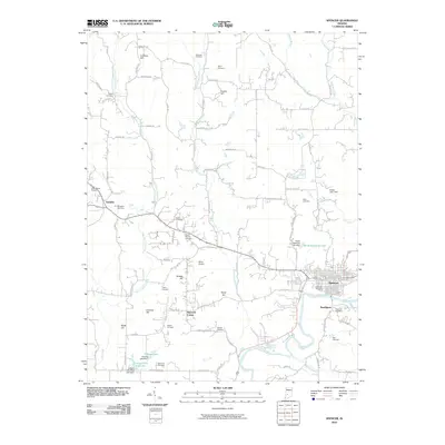
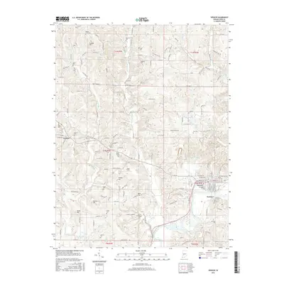
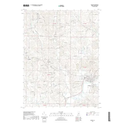
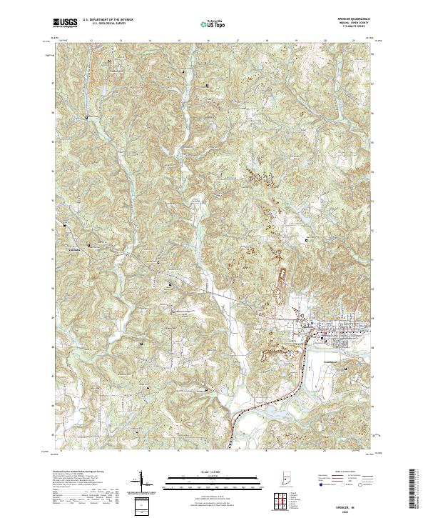 2022 Spencer2022 Print · USGSThe Owen County seat and the winding White River valley come into focus in this contemporary survey of the Indiana countryside. Genealogists and local historians can trace dozens of rural burial sites and landmarks like the Owen County Court House, Saint Walley Cem, and Southport.
 - 2022 Map of Gosport, 2022 Print
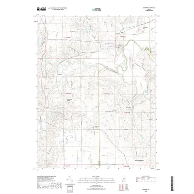
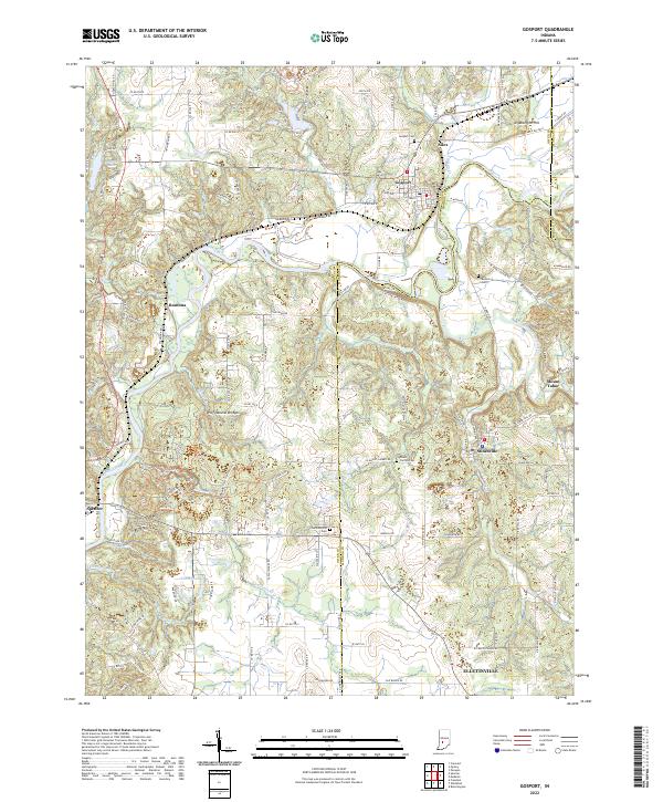 2022 Gosport2022 Print · USGSThe Owen and Monroe County line comes alive in the early 2020s, centered on the river-and-rail corridor of Gosport and Romona. Genealogists and hikers can trace the Indiana Rail Road or locate the Wolf Natural Bridges and Van Buskirk Cem.
End of results
Showing maps 1-20 of 20
Top cities near Spencer
- Bloomington historical maps
- Ellettsville historical maps
- Cloverdale historical maps
- Worthington historical maps
- Gosport historical maps
- Paragon historical maps
See more
Frequently asked questions
- What are the different types of historical maps available for Spencer?
- What is the oldest map of Spencer?
- Where can I purchase historical maps of Spencer for my home or office?
- Where can I download high-res historical maps of Spencer?
- Are there historical topographic maps available for Spencer?
- Is there historical aerial imagery available for Spencer?
- Where are historical maps of Spencer sourced from?