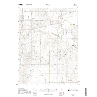
2019 Map of Gosport
USGS Topo · Published 2019About this map
Gosport and its neighboring limestone-country settlements are documented here along the winding course of the White River. This 2019 survey illustrates the established boundaries where Owen County and Monroe County meet, featuring the town of Stinesville and the northern edge of Ellettsville. The landscape is defined by its drainages, including Beanblossom Creek, Jacks Defeat Creek, and McCormicks Creek, which have shaped the local topography and historical development of these river towns.
Find a feature on this map
127 named features on this map. Tap any name to fly to it.
Don’t see what you’re looking for? This feature index may not catch every label — zoom into the map to look around manually.
Map Details
Editions of this 2019 Gosport Map
This is the sole edition of this map. No revisions or reprints were ever made.
Other maps of this area

1908 · Bloomington
USGS Topo · 1:48,000

1908 · Bloomfield
USGS Topo · 1:62,500

1910 · Bloomington
USGS Topo · 1:62,500

1947 · Gosport
USGS Topo · 1:24,000

1949 · Quincy
USGS Topo · 1:24,000

1950 · Gosport
USGS Topo · 1:24,000

1953 · Indianapolis
USGS Topo · 1:250,000

1956 · Indianapolis
USGS Topo · 1:250,000

1956 · Cataract
USGS Topo · 1:24,000

1956 · Freedom
USGS Topo · 1:24,000