
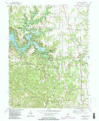
1956 Map of Cataract
USGS Topo · Published 1957About this map
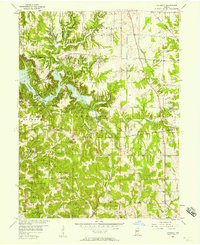
Cataract Lake dominates the central landscape of this Owen County region, its irregular shoreline wrapping around landmarks like Ernie Pyle Island. This mid-century survey captures a transition in land use, where the sprawling Owen-Putnam State Forest and Lieber State Park preserve large tracts of timbered ridges and ravines, contrasting with the organized agricultural plots of Cloverdale and Morgan townships. The natural hydraulics of the area are highlighted by the Upper Cataract Falls and Lower Cataract Falls along Mill Creek.
Find a feature on this map
40 named features on this map. Tap any name to fly to it.
Don’t see what you’re looking for? This feature index may not catch every label — zoom into the map to look around manually.
Map Details
Editions of this 1956 Cataract Map
6 editions found
Other maps of this area

1947 · Gosport
USGS Topo · 1:24,000

1949 · Quincy
USGS Topo · 1:24,000

1950 · Gosport
USGS Topo · 1:24,000

1952 · Reelsville
USGS Topo · 1:24,000

1953 · Indianapolis
USGS Topo · 1:250,000

1956 · Indianapolis
USGS Topo · 1:250,000

1956 · Cloverdale
USGS Topo · 1:24,000

1956 · Eminence
USGS Topo · 1:24,000

1956 · Patricksburg
USGS Topo · 1:24,000
1956 · Spencer
USGS Topo · 1:24,000