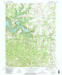
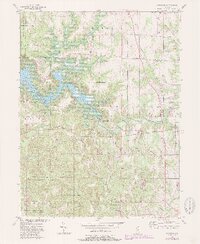
1956 Map of Cataract
USGS Topo · Published 1987About this map
Cataract sits at the heart of this landscape, positioned near the dramatic descent of Mill Creek at Upper Cataract Falls and Lower Cataract Falls. This mid-century survey documents a region defined by its water and woods, showing the expansion of Cagles Mill Lake and the established boundaries of the Owen-Putnam State Forest. The map preserves the alignment of the Old Indian Boundary, which cuts diagonally across the topography, a remnant of early frontier surveying that still shaped local property lines and municipal divisions decades later.
Find a feature on this map
42 named features on this map. Tap any name to fly to it.
Don’t see what you’re looking for? This feature index may not catch every label — zoom into the map to look around manually.
Map Details
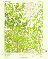
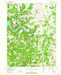
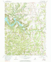
Editions of this 1956 Cataract Map
6 editions found
Other maps of this area

1947 · Gosport
USGS Topo · 1:24,000

1949 · Quincy
USGS Topo · 1:24,000

1950 · Gosport
USGS Topo · 1:24,000

1952 · Reelsville
USGS Topo · 1:24,000

1953 · Indianapolis
USGS Topo · 1:250,000

1956 · Indianapolis
USGS Topo · 1:250,000

1956 · Cloverdale
USGS Topo · 1:24,000

1956 · Cataract
USGS Topo · 1:24,000

1956 · Eminence
USGS Topo · 1:24,000

1956 · Patricksburg
USGS Topo · 1:24,000