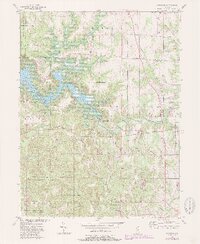
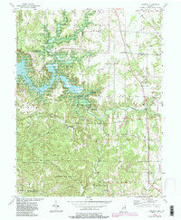
1956 Map of Cataract
USGS Topo · Published 1987About this map
The dramatic Lower Cataract Falls and Upper Cataract Falls anchor this mid-century topographic survey of rural Owen and Putnam Counties. The landscape is defined by the recently formed Cagles Mill Lake, featuring Ernie Pyle Island and surrounding the small community of Cunot. Large portions of the Owen-Putnam State Forest dominate the southern and western portions of the map, while a network of rural settlements like Atkinsonville and Mill Grove remain connected by early state routes and the CSX rail line.
Find a feature on this map
43 named features on this map. Tap any name to fly to it.
Don’t see what you’re looking for? This feature index may not catch every label — zoom into the map to look around manually.
Map Details
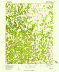
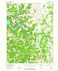
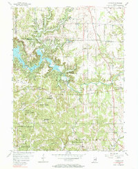
Editions of this 1956 Cataract Map
6 editions found
Other maps of this area

1947 · Gosport
USGS Topo · 1:24,000

1949 · Quincy
USGS Topo · 1:24,000

1950 · Gosport
USGS Topo · 1:24,000

1952 · Reelsville
USGS Topo · 1:24,000

1953 · Indianapolis
USGS Topo · 1:250,000

1956 · Indianapolis
USGS Topo · 1:250,000

1956 · Cloverdale
USGS Topo · 1:24,000

1956 · Cataract
USGS Topo · 1:24,000

1956 · Eminence
USGS Topo · 1:24,000

1956 · Patricksburg
USGS Topo · 1:24,000