Old Maps of Bloomingdale, Indiana for Genealogy
Trace your family roots with 19 historic maps of Bloomingdale. These high-res maps reveal old neighborhoods, homesites, landmarks, and streets — helping you uncover where your ancestors lived and how the area evolved over time.
- Explore historic neighborhoods: Identify where your relatives may have lived in the 1800s or 1900s.
- Compare maps over time: Trace the changes in streets, buildings, and landmarks for multi-generational research.
- Perfect for genealogy & ancestry research: Used by family historians and researchers to map out lineage and migration.
These maps are an incredible resource for exploring your personal connection to Bloomingdale's past.
Bloomingdale, IN maps
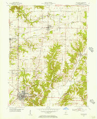
(19)- 1953 Map of Indianapolis, 1965 Print
 1953 Indianapolis1965 Print · USGSCentral Indiana and the Illinois borderlands are captured in the mid-sixties, showing the growth of Indianapolis and its industrial rail corridors. Genealogists and historians can trace the development of outlying towns like Zionsville or Beech Grove and find landmarks such as Atterbury AAF and Turkey Run State Park.4 unique versions available
 - 1955 Map of Rockville, 1956 Print
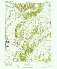
 1955 Rockville1956 Print · USGSParke County in the mid-1950s reveals a classic Indiana landscape of rail-connected towns and rural institutions. Researchers can trace family roots through several local burial sites like Sand Creek Ch Cem and explore the historic footprint of the State Sanatorium.2 unique versions available
 - 1955 Map of Montezuma, 1957 Print
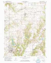
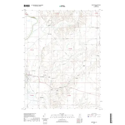
 1955 Montezuma1957 Print · USGSWestern Parke County comes alive in the mid-1950s, showing a river-and-rail landscape where historical boundaries meet industrial growth. Trace the path of the Abandoned Canal and locate family landmarks like Linebarger Chapel and Hethcoe Cem.2 unique versions available
 - 1956 Map of Indianapolis
 1956 Indianapolis1956 Print · USGSCentral Indiana in the mid-fifties is captured during a period of industrial growth and military presence. Genealogists and historians can trace the rail networks of the New York Central or locate regional landmarks like Fort Benjamin Harrison and Camp Atterbury.
 - 1957 Map of Indianapolis
 1957 Indianapolis1957 Print · USGSCentral Indiana in the mid-fifties is captured here as a crossroads of major rail lines and nascent federal highways. Genealogists and historians can trace family-named ridges like Poplar Ridge or locate strategic sites like Camp Atterbury and Speedway.2 unique versions available
 - 1962 Map of Indianapolis
 1962 Indianapolis1962 Print · USGSCentral Indiana and the Illinois borderlands are captured here in the early sixties, showing the region's dense rail networks and growing urban centers. Genealogists and historians can locate family-named landmarks and institutions like Crown Hill Cem, Indiana University, and the Indianapolis Motor Speedway.
 - 1978 Map of Rockville
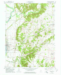
 1978 Rockville1978 Print · USGSParke County in the late seventies showcases a landscape of historic river crossings and established rail towns. Genealogists and historians can trace family roots through numerous sites like Billie Creek Village, Bethany Ch, and the Adams Covered Bridge.2 unique versions available
 - 1978 Map of Montezuma
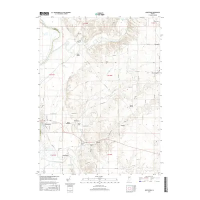
 1978 Montezuma1978 Print · USGSThe Wabash River valley in the late 1970s reveals a blend of traditional Indiana rural life and heavy industrial enterprise. Genealogists and historians can trace family burial sites like Linebarger Chapel Cem and industrial landmarks such as the kilns in Bloomingdale.
 - 1986 Map of Paris
 1986 Paris1986 Print · USGSThe Illinois-Indiana borderlands thrive in the mid-1980s as a hub of river-side industry and fertile farmland. Genealogists and historians can trace rail-centered settlements like Chrisman and Metcalf, or locate family sites at the Quaker Cem and Bethel Ch.2 unique versions available
 - 2010 Map of Montezuma, 2010 Print
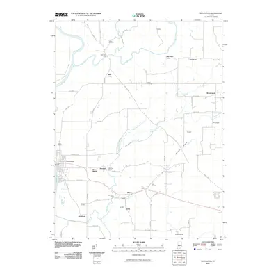 2010 Montezuma2010 Print · USGSCovers Bloomingdale, including Montezuma, Coloma, and other nearby areas
 - 2010 Map of Rockville, 2010 Print
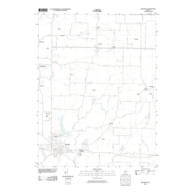 2010 Rockville2010 Print · USGSCovers Bloomingdale, including Rockville, Marshall, and other nearby areas
 - 2013 Map of Rockville, 2013 Print
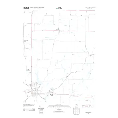 2013 Rockville2013 Print · USGSCovers Bloomingdale, including Rockville, Marshall, and other nearby areas
 - 2013 Map of Montezuma, 2013 Print
 2013 Montezuma2013 Print · USGSCovers Bloomingdale, including Montezuma, Coloma, and other nearby areas
 - 2016 Map of Montezuma, 2016 Print
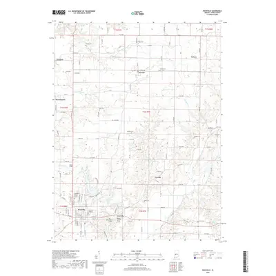
 2016 Montezuma2016 Print · USGSCovers Bloomingdale, including Montezuma, Coloma, and other nearby areas
 - 2016 Map of Rockville, 2016 Print
 2016 Rockville2016 Print · USGSCovers Bloomingdale, including Rockville, Marshall, and other nearby areas
 - 2019 Map of Rockville, 2019 Print
 2019 Rockville2019 Print · USGSCovers Bloomingdale, including Rockville, Marshall, and other nearby areas
 - 2019 Map of Montezuma, 2019 Print
 2019 Montezuma2019 Print · USGSCovers Bloomingdale, including Montezuma, Coloma, and other nearby areas
 - 2022 Map of Montezuma, 2022 Print
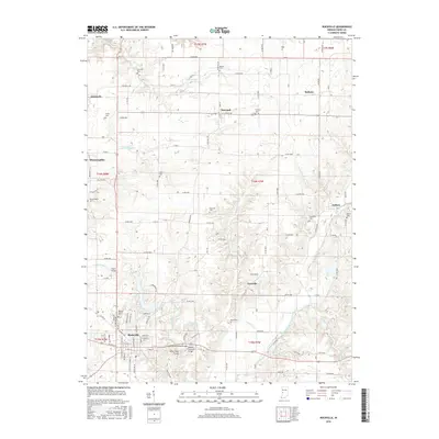
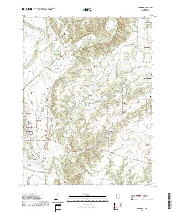 2022 Montezuma2022 Print · USGSParke County's riverfront and upland farms are captured here in the early twenty-first century, showing the enduring rural layout of the Wabash valley. Genealogists and historians can locate numerous family burial sites like Causey Cem and Watts Cem near settlements such as West Union and Coloma.
 - 2022 Map of Rockville, 2022 Print
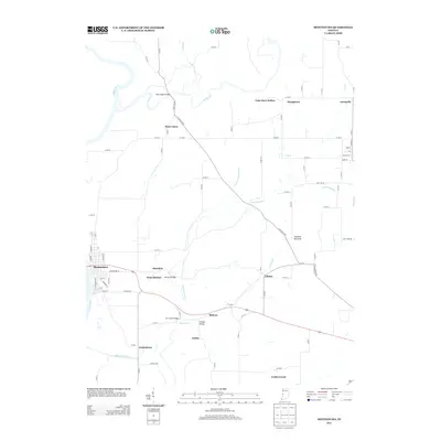
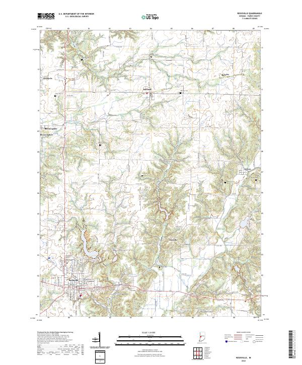 2022 Rockville2022 Print · USGSParke County, Indiana, remains a landscape of established townships and rural crossroads as seen in this contemporary survey. Family historians can trace ancestral roots through numerous local burial sites like Elder Cem and Buchanan Cem or locate homes near Bloomingdale and Judson.
End of results
Showing maps 1-19 of 19
Top cities near Bloomingdale
- Clinton historical maps
- Rockville historical maps
- Eugene historical maps
- Highland historical maps
- Fairview Park historical maps
- Montezuma historical maps
See more
Frequently asked questions
- What are the different types of historical maps available for Bloomingdale?
- What is the oldest map of Bloomingdale?
- Where can I purchase historical maps of Bloomingdale for my home or office?
- Where can I download high-res historical maps of Bloomingdale?
- Are there historical topographic maps available for Bloomingdale?
- Is there historical aerial imagery available for Bloomingdale?
- Where are historical maps of Bloomingdale sourced from?