Old Maps of Smoke Corner, Indiana for Hiking & Exploration
Hike through history with 12 historic maps of Smoke Corner. Explore old trails, ghost towns, and forgotten backroads — perfect for outdoor adventurers and local explorers.
- Rediscover forgotten places: Map out old mining camps, roads, and footpaths that no longer exist on modern maps.
- Layer with modern tools: Combine with LiDAR or satellite views to plan hikes through historical terrain.
- Made for exploration: Popular among hikers, overlanders, and local history lovers.
Use these maps to find adventure and explore the hidden past of Smoke Corner.
Smoke Corner, IN maps
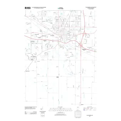
(12)- 1953 Map of Valparaiso, 1955 Print
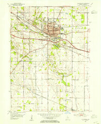 1953 Valparaiso1955 Print · USGSValparaiso and the surrounding Porter County townships are captured here in the mid-fifties, during a period of steady institutional and rural growth. Genealogists and local historians can trace family plots at Adam Cem, locate the old Morgan Sch, or follow the historic Lincoln Highway through town.
 - 1953 Map of Chicago, 1964 Print
 1953 Chicago1964 Print · USGSThe southern Lake Michigan shoreline was rapidly modernizing in the mid-fifties, balancing heavy industry with its famous academic centers. Researchers can trace the footprints of Notre Dame University or locate vanished sites like the Kingsbury Ordnance Plant and Meigs Field.5 unique versions available
 - 1957 Map of Chicago
 1957 Chicago1957 Print · USGSThe industrial heartland and southern Great Lakes shoreline are captured here during the peak of mid-century growth. Researchers can trace the massive Gary Steel Works, the grounds of the University of Notre Dame, and the early paths of the Tri-State Tollway.
 - 1962 Map of Valparaiso, 1964 Print
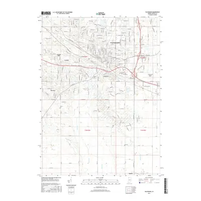
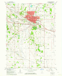 1962 Valparaiso1964 Print · USGSValparaiso and its surrounding townships in the early sixties show a region transitioning from traditional farmland to modern suburban expansion. Genealogists and historians can trace family locations at Graceland Cemetery or locate old schoolhouses like Morgan Sch and the Shults-Lewis Childrens Home.4 unique versions available
 - 1984 Map of Kankakee, 1985 Print
 1984 Kankakee1985 Print · USGSThe Illinois-Indiana borderlands appear here in the early eighties as a landscape of river-centered towns and vast managed wetlands. Genealogists and local historians can trace the grounds of the Kankakee State Hospital, the campus of Olivet Nazarene College, and the sprawling Beaver Lake Wildlife Refuge.
 - 1991 Map of Kankakee
 1991 Kankakee1991 Print · USGSThe Illinois-Indiana borderlands come into focus during the early nineties, centered on the growing Kankakee valley and its sprawling drainage systems. Trace the rail-and-river economy through landmarks like the Wilton Railroad Grade, the Manteno State Hospital, and the historic Old Pioneer Cem.
 - 1992 Map of Valparaiso
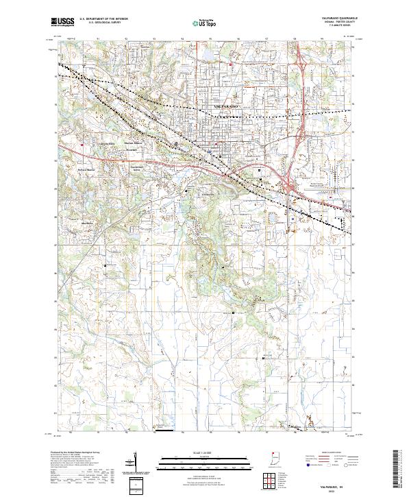
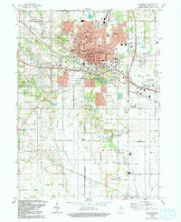 1992 Valparaiso1992 Print · USGSThe city of Valparaiso and its surrounding townships are shown here during a period of late-twentieth-century growth. Researchers can trace historical footprints at Valparaiso University, the Fairground, and various rural crossroads like Cobbs Corner and Malden.
 - 2010 Map of Valparaiso, 2010 Print
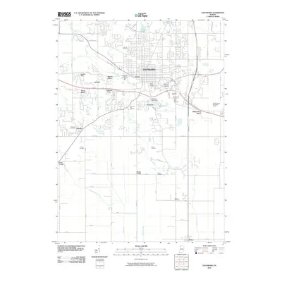 2010 Valparaiso2010 Print · USGSCovers Smoke Corner, including Valparaiso, Coolwood Acres, and other nearby areas
 - 2013 Map of Valparaiso, 2013 Print
 2013 Valparaiso2013 Print · USGSCovers Smoke Corner, including Valparaiso, Coolwood Acres, and other nearby areas
 - 2016 Map of Valparaiso, 2016 Print
 2016 Valparaiso2016 Print · USGSCovers Smoke Corner, including Valparaiso, Coolwood Acres, and other nearby areas
 - 2019 Map of Valparaiso, 2019 Print
 2019 Valparaiso2019 Print · USGSCovers Smoke Corner, including Valparaiso, Coolwood Acres, and other nearby areas
 - 2022 Map of Valparaiso, 2022 Print
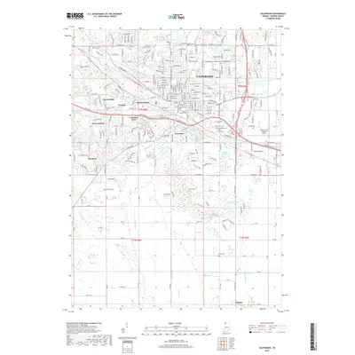
 2022 Valparaiso2022 Print · USGSPorter County's urban and rural transition is visible here in the early twenty-first century, centered on the seat of Valparaiso. Genealogists and historians can trace local family lineages at Fleming Cem, Maplewood Cem, and the historic campus of Valparaiso University.
End of results
Showing maps 1-12 of 12
Top cities near Smoke Corner
- Gary historical maps
- Portage historical maps
- Valparaiso historical maps
- Merrillville historical maps
- Hobart historical maps
- Lake Station historical maps
See more
Frequently asked questions
- What are the different types of historical maps available for Smoke Corner?
- What is the oldest map of Smoke Corner?
- Where can I purchase historical maps of Smoke Corner for my home or office?
- Where can I download high-res historical maps of Smoke Corner?
- Are there historical topographic maps available for Smoke Corner?
- Is there historical aerial imagery available for Smoke Corner?
- Where are historical maps of Smoke Corner sourced from?