Old Maps of Modoc, Indiana for Hiking & Exploration
Hike through history with 16 historic maps of Modoc. Explore old trails, ghost towns, and forgotten backroads — perfect for outdoor adventurers and local explorers.
- Rediscover forgotten places: Map out old mining camps, roads, and footpaths that no longer exist on modern maps.
- Layer with modern tools: Combine with LiDAR or satellite views to plan hikes through historical terrain.
- Made for exploration: Popular among hikers, overlanders, and local history lovers.
Use these maps to find adventure and explore the hidden past of Modoc.
Modoc, IN maps
(16)- 1953 Map of Muncie, 1966 Print
 1953 Muncie1966 Print · USGSIndiana and Ohio borderlands thrive in the early fifties, showing a landscape defined by manufacturing cities and an intensive railroad network. Genealogists can trace family roots across the Indiana-Ohio line through Muncie, Celina, and Portland via the Pennsylvania railroad.5 unique versions available
 - 1956 Map of Muncie
 1956 Muncie1956 Print · USGSEastern Indiana and western Ohio are shown at a peak of rail-driven industry in the mid-fifties. Genealogists and rail historians can trace the paths of the Pennsylvania RR through Muncie or locate landmarks like Lake Saint Marys (Grand Lake Reservoir) and Frances Slocum State Forest.
 - 1960 Map of Carlos, 1961 Print
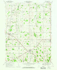
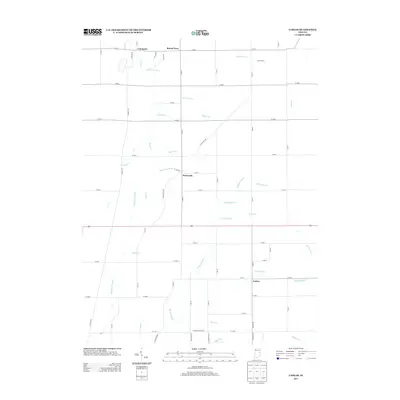
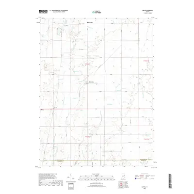
 1960 Carlos1961 Print · USGSRandolph County's rural townships are captured here in the early sixties, showing the agricultural heartland of eastern Indiana. Researchers can trace historical property lines along the Indian Treaty Boundary and locate small communities like Huntsville, Unionport, and Carlos.3 unique versions available
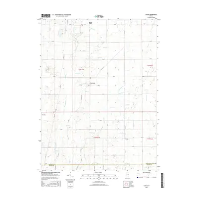
 - 1960 Map of Modoc, 1961 Print
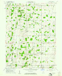
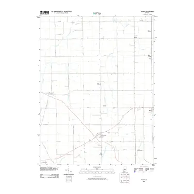
 1960 Modoc1961 Print · USGSRandolph and Henry Counties appear here in the early sixties, centered on the vital rail junctions of the eastern Indiana plains. Genealogists and local historians can trace the locations of Bronson, Blountsville, and rural sites like Grace Chapel.
 - 1969 Map of Modoc, 1970 Print
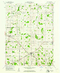
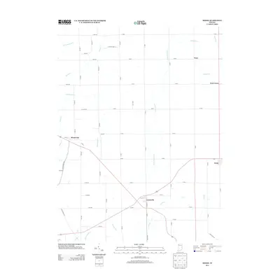
 1969 Modoc1970 Print · USGSRandolph and Henry Counties are captured here in the late sixties, showing a landscape defined by intersecting railroads and rural crossroads. Genealogists and local historians can locate family landmarks like Poplar Run Cem, Union Ch, and the settlement of Blountsville.
 - 1986 Map of Muncie
 1986 Muncie1986 Print · USGSEast Central Indiana was a hub of manufacturing and higher education in the mid-eighties. Genealogists and historians can trace the streets of Muncie, locate rural Cem sites, and explore landmarks like Mounds State Park and Taylor Univ.3 unique versions available
 - 2010 Map of Carlos, 2010 Print
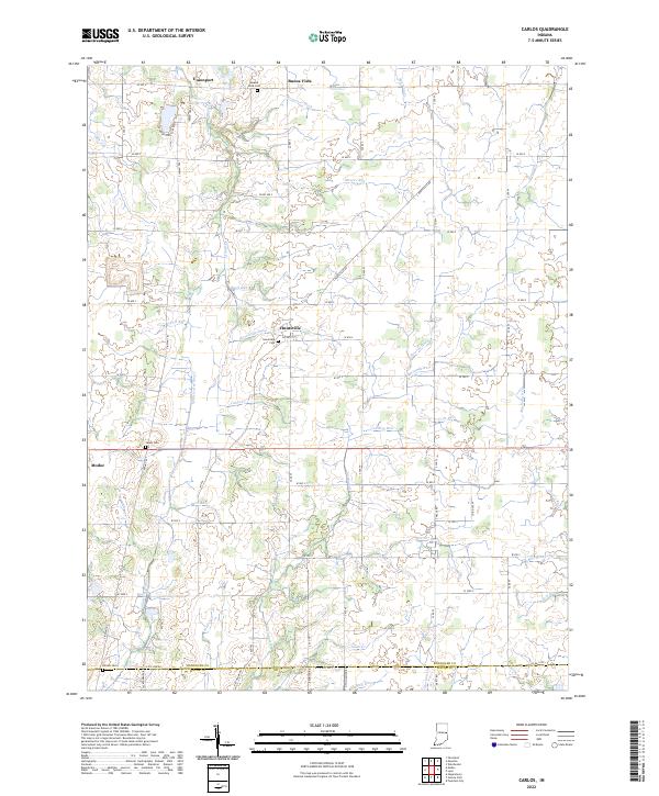
 2010 Carlos2010 Print · USGSCovers Modoc, including Huntsville, Carlos, and other nearby areas
 - 2010 Map of Modoc, 2010 Print
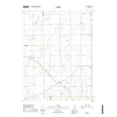
 2010 Modoc2010 Print · USGSCovers Modoc, including Mooreland, Losantville, and other nearby areas
 - 2013 Map of Carlos, 2013 Print
 2013 Carlos2013 Print · USGSCovers Modoc, including Huntsville, Carlos, and other nearby areas
 - 2013 Map of Modoc, 2013 Print
 2013 Modoc2013 Print · USGSCovers Modoc, including Mooreland, Losantville, and other nearby areas
 - 2016 Map of Modoc, 2016 Print
 2016 Modoc2016 Print · USGSCovers Modoc, including Mooreland, Losantville, and other nearby areas
 - 2016 Map of Carlos, 2016 Print
 2016 Carlos2016 Print · USGSCovers Modoc, including Huntsville, Carlos, and other nearby areas
 - 2019 Map of Carlos, 2019 Print
 2019 Carlos2019 Print · USGSCovers Modoc, including Huntsville, Carlos, and other nearby areas
 - 2019 Map of Modoc, 2019 Print
 2019 Modoc2019 Print · USGSCovers Modoc, including Mooreland, Losantville, and other nearby areas
 - 2022 Map of Modoc, 2022 Print
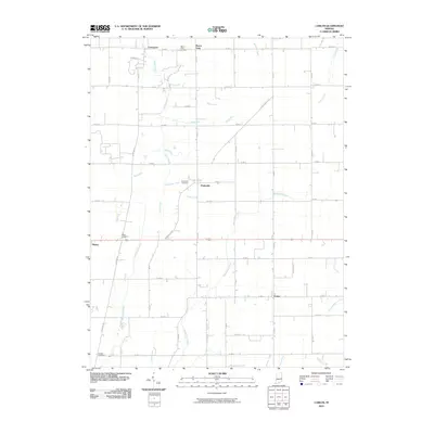
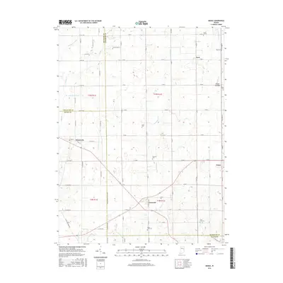
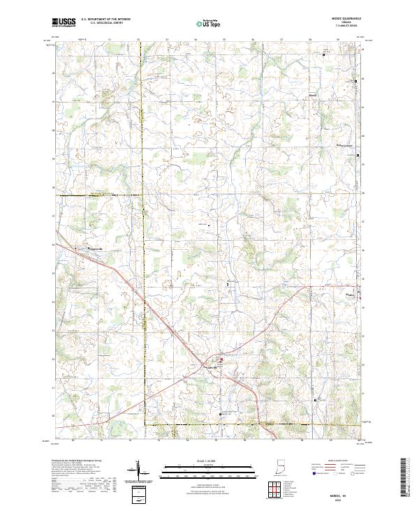 2022 Modoc2022 Print · USGSIndiana's eastern agricultural landscape is captured here during the early twenty-first century, centered on the crossroads of Losantville and Modoc. Researchers can trace local lineage through several burial sites like Nettle Creek Baptist Cem or follow the historic rail-to-trail conversion of the Cardinal Greenway Trl.
 - 2022 Map of Carlos, 2022 Print
 2022 Carlos2022 Print · USGSRandolph County's agricultural heartland is documented here in the early twenty-first century, showing a landscape shaped by both nature and drainage engineering. Researchers can trace ancestral sites at Salem Cem and Huntsville Cem or locate old watercourses like Cabin Cr.
End of results
Showing maps 1-16 of 16
Top cities near Modoc
- Muncie historical maps
- Richmond historical maps
- New Castle historical maps
- Winchester historical maps
- Centerville historical maps
- Cambridge City historical maps
See more
Frequently asked questions
- What are the different types of historical maps available for Modoc?
- What is the oldest map of Modoc?
- Where can I purchase historical maps of Modoc for my home or office?
- Where can I download high-res historical maps of Modoc?
- Are there historical topographic maps available for Modoc?
- Is there historical aerial imagery available for Modoc?
- Where are historical maps of Modoc sourced from?