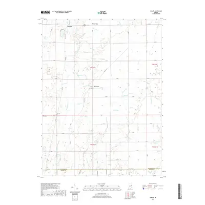
2019 Map of Carlos
USGS Topo · Published 2019About this map
Huntsville and Modoc anchor this rural section of Randolph Co, where the landscape is defined by a dense network of agricultural drainage and small waterways. The headwaters of the Whitewater River flow through the southwestern portion of the sheet, while other streams like Cabin Cr and Sugar Cr indicate the varied watersheds meeting here. Small family and community burying grounds, including Huntsville Cem, Salem Cem, and the Buena Vista Cem, are situated near the early settlements of Buena Vista and Unionport. The map details a strictly gridded road system, such as S Huntsville Rd and W State St, that partitions the land into the traditional township and range blocks characteristic of the Old Northwest Territory, preserving the layout of Indiana's farming heartland as it appeared in the late 2010s.
Find a feature on this map
74 named features on this map. Tap any name to fly to it.
Don’t see what you’re looking for? This feature index may not catch every label — zoom into the map to look around manually.
Map Details
Editions of this 2019 Carlos Map
This is the sole edition of this map. No revisions or reprints were ever made.
Other maps of this area

1915 · New Paris
USGS Topo · 1:48,000

1916 · Winchester
USGS Topo · 1:48,000

1918 · Winchester
USGS Topo · 1:62,500

1918 · New Paris
USGS Topo · 1:62,500

1943 · Winchester
USGS Topo · 1:62,500

1952 · Maxville
USGS Topo · 1:24,000

1952 · Farmland
USGS Topo · 1:24,000

1953 · Cincinnati
USGS Topo · 1:250,000

1953 · Muncie
USGS Topo · 1:250,000

1956 · Muncie
USGS Topo · 1:250,000