Old Maps of Pinch, Indiana for Metal Detecting
Plan your next treasure hunt with 10 historic maps of Pinch. Find old homesites, ghost towns, trails, and gathering spots that may be lost to time — perfect for identifying promising metal detecting locations.
- Locate forgotten sites: Uncover places like long-lost settlements, abandoned rail lines, or gathering spots.
- Plan better hunts: Use map overlays combined with LiDAR or satellite views to narrow in on historically rich areas.
- Made for detectorists: Thousands of hobbyists use these maps to discover relics, coins, and hidden history.
Use these historic maps to boost your research and find new opportunities beneath the surface of Pinch.
Pinch, IN maps
(10)- 1953 Map of Muncie, 1966 Print
 1953 Muncie1966 Print · USGSIndiana and Ohio borderlands thrive in the early fifties, showing a landscape defined by manufacturing cities and an intensive railroad network. Genealogists can trace family roots across the Indiana-Ohio line through Muncie, Celina, and Portland via the Pennsylvania railroad.5 unique versions available
 - 1956 Map of Muncie
 1956 Muncie1956 Print · USGSEastern Indiana and western Ohio are shown at a peak of rail-driven industry in the mid-fifties. Genealogists and rail historians can trace the paths of the Pennsylvania RR through Muncie or locate landmarks like Lake Saint Marys (Grand Lake Reservoir) and Frances Slocum State Forest.
 - 1960 Map of Modoc, 1961 Print
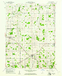 1960 Modoc1961 Print · USGSRandolph and Henry Counties appear here in the early sixties, centered on the vital rail junctions of the eastern Indiana plains. Genealogists and local historians can trace the locations of Bronson, Blountsville, and rural sites like Grace Chapel.
 - 1969 Map of Modoc, 1970 Print
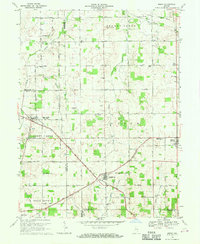 1969 Modoc1970 Print · USGSRandolph and Henry Counties are captured here in the late sixties, showing a landscape defined by intersecting railroads and rural crossroads. Genealogists and local historians can locate family landmarks like Poplar Run Cem, Union Ch, and the settlement of Blountsville.
 - 1986 Map of Muncie
 1986 Muncie1986 Print · USGSEast Central Indiana was a hub of manufacturing and higher education in the mid-eighties. Genealogists and historians can trace the streets of Muncie, locate rural Cem sites, and explore landmarks like Mounds State Park and Taylor Univ.3 unique versions available
 - 2010 Map of Modoc, 2010 Print
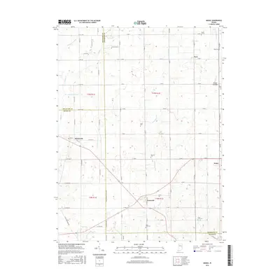
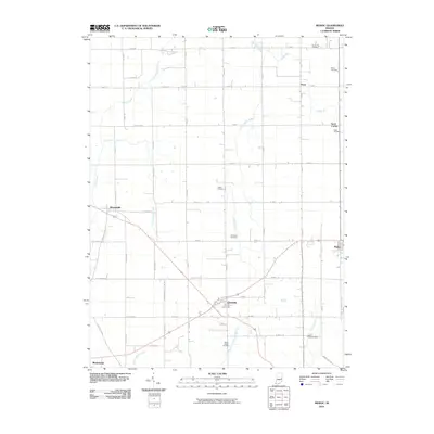 2010 Modoc2010 Print · USGSCovers Pinch, including Mooreland, Losantville, and other nearby areas
 - 2013 Map of Modoc, 2013 Print
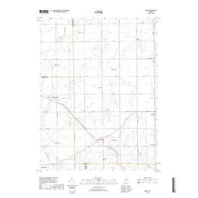
 2013 Modoc2013 Print · USGSCovers Pinch, including Mooreland, Losantville, and other nearby areas
 - 2016 Map of Modoc, 2016 Print
 2016 Modoc2016 Print · USGSCovers Pinch, including Mooreland, Losantville, and other nearby areas
 - 2019 Map of Modoc, 2019 Print
 2019 Modoc2019 Print · USGSCovers Pinch, including Mooreland, Losantville, and other nearby areas
 - 2022 Map of Modoc, 2022 Print
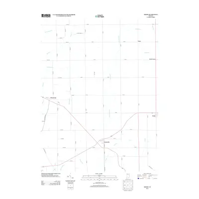
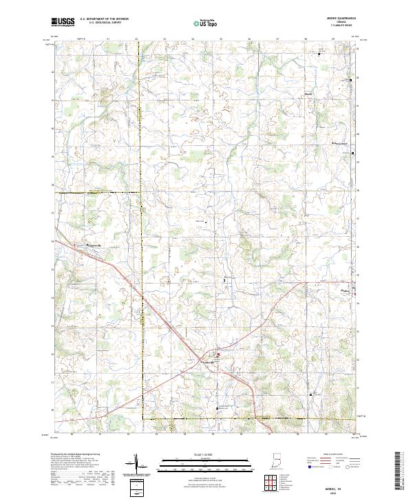 2022 Modoc2022 Print · USGSIndiana's eastern agricultural landscape is captured here during the early twenty-first century, centered on the crossroads of Losantville and Modoc. Researchers can trace local lineage through several burial sites like Nettle Creek Baptist Cem or follow the historic rail-to-trail conversion of the Cardinal Greenway Trl.
End of results
Showing maps 1-10 of 10
Top cities near Pinch
- Muncie historical maps
- Richmond historical maps
- New Castle historical maps
- Winchester historical maps
- Hagerstown historical maps
- Eaton historical maps
See more
Frequently asked questions
- What are the different types of historical maps available for Pinch?
- What is the oldest map of Pinch?
- Where can I purchase historical maps of Pinch for my home or office?
- Where can I download high-res historical maps of Pinch?
- Are there historical topographic maps available for Pinch?
- Is there historical aerial imagery available for Pinch?
- Where are historical maps of Pinch sourced from?