Old Maps of Milan, Indiana for Metal Detecting
Plan your next treasure hunt with 30 historic maps of Milan. Find old homesites, ghost towns, trails, and gathering spots that may be lost to time — perfect for identifying promising metal detecting locations.
- Locate forgotten sites: Uncover places like long-lost settlements, abandoned rail lines, or gathering spots.
- Plan better hunts: Use map overlays combined with LiDAR or satellite views to narrow in on historically rich areas.
- Made for detectorists: Thousands of hobbyists use these maps to discover relics, coins, and hidden history.
Use these historic maps to boost your research and find new opportunities beneath the surface of Milan.
Milan, IN maps
(30)- 1946 Map of Milan
 1946 Milan1946 Print · USGSRipley County in the mid-1940s is defined by the deep meanders of Laughery Creek and the burgeoning Versailles State Recreational Area. Researchers can locate several rural landmarks including the Fire Tower, Stringtown Sch, and family cemeteries like Wilson Cem.2 unique versions available
 - 1946 Map of Pierceville
 1946 Pierceville1946 Print · USGSRipley County is captured in the mid-1940s as its rural communities and rail corridors shaped the local economy. Researchers can trace family sites near Old Milan, find rural schoolhouses like Mang Sch, and locate numerous country parishes including Adams Ch and Mud Pike Ch.2 unique versions available
 - 1953 Map of Cincinnati, 1965 Print
 1953 Cincinnati1965 Print · USGSThe Ohio River valley and the industrial heartland of Indiana and Ohio are captured here during the mid-century peak of rail and river commerce. Genealogists and historians can trace connections between Cincinnati and outlying military sites like Camp Atterbury and Bakalar AFB.3 unique versions available
 - 1957 Map of Cincinnati
 1957 Cincinnati1957 Print · USGSThe Ohio River valley and its surrounding highlands thrived during the mid-fifties industrial peak, centered on the bustling Cincinnati and Dayton metropolitan hubs. Researchers can trace the extensive rail networks and military sites like Wright-Patterson AFB and Camp Atterbury.
 - 1958 Map of Sunman, 1959 Print
 1958 Sunman1959 Print · USGSThe rural borderlands of Ripley and Dearborn counties are captured here in the late fifties, as traditional farming life centered around the New York Central railroad. Genealogists can locate family sites near St Johns Ch, the County Home, and small crossroads like Negangards Corner.3 unique versions available
 - 1958 Map of Dillsboro, 1960 Print
 1958 Dillsboro1960 Print · USGSSoutheast Indiana's ridge-and-hollow terrain is meticulously detailed here in the late fifties, showing the interplay between small-town life and the rail corridor. Trace family histories at South Sparta Ch or Forest Hill Cem, and follow the line of the Baltimore and Ohio RR.3 unique versions available
 - 1961 Map of Milan, 1963 Print
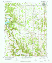 1961 Milan1963 Print · USGSRipley County in the early 1960s is defined by the deep meanders of Laughery Creek and the growing VERSAILLES STATE PARK. Genealogists can trace family names through several rural burying grounds, including Marble Corner Cem and Wilson Cem, alongside old landmarks like the Covered Bridge.5 unique versions available
 - 1961 Map of Pierceville, 1963 Print
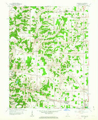 1961 Pierceville1963 Print · USGSRipley County in the early sixties maintains a landscape of tight-knit farming hamlets and river-valley roads. Genealogists can locate family sites near Little Memory Cem, St Pauls Ch, and the small crossroads at Stumpke Corner.3 unique versions available
 - 1986 Map of Greensburg
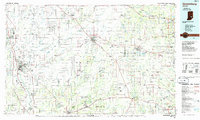 1986 Greensburg1986 Print · USGSSoutheastern Indiana in the mid-eighties shows a balance of growing industrial centers and deeply rooted rural communities. Family historians can trace landmarks like the Highland Center School, South Park Cemetery, and the Bartholomew County Courthouse among the river forks.2 unique versions available
 - 1992 Map of Dillsboro, 1995 Print
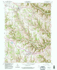 1992 Dillsboro1995 Print · USGSSoutheast Indiana's ridge-and-hollow country is captured here during the late twentieth century as it appeared before major modern development. Genealogists can locate numerous burial sites including Forest Hill Cem and Oakdale Cem, while historians can trace the path of the B & O rail line.
 - 2010 Map of Milan, 2010 Print
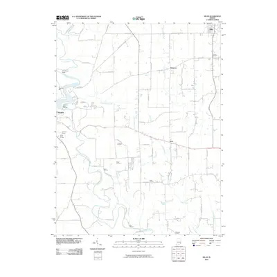 2010 Milan2010 Print · USGSRipley County is captured in this survey during a period of quiet stability for its rural townships and creek-side communities. Genealogists and local historians can trace family roots through numerous sites like Bethel Cemetery, Wilson Cemetery, and the settlement at Elrod.
 - 2010 Map of Dillsboro, 2010 Print
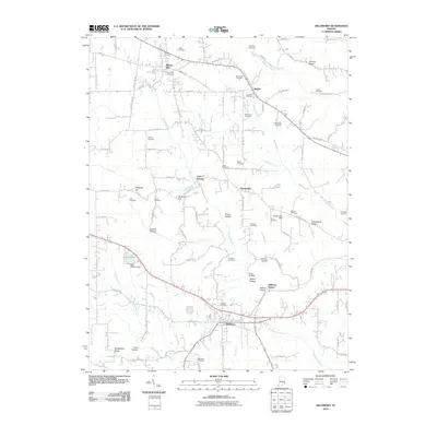 2010 Dillsboro2010 Print · USGSSoutheastern Indiana's rural landscape is captured here during a period of modern stability, showing the enduring layout of township roads and family lands. Genealogists can trace decades of history across numerous sites like Forest Hill Cemetery, Oakdale Cemetery, and Lake Dilldear.
 - 2010 Map of Sunman, 2010 Print
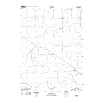 2010 Sunman2010 Print · USGSRipley County is shown here in the early 21st century as a quiet landscape of rural crossroads and family homesteads. Researchers can trace local roots at Franklin Cemetery, New Alsace, and the historic outskirts of Sunman and Manchester.
 - 2010 Map of Pierceville, 2010 Print
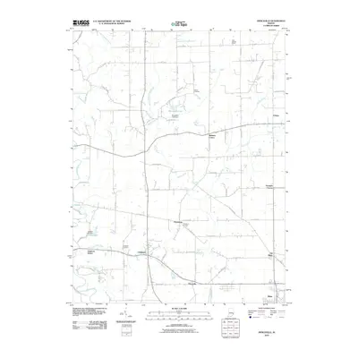 2010 Pierceville2010 Print · USGSSoutheastern Indiana's rural landscape is captured here in the early twenty-first century, showing the settlement patterns of Ripley County. Genealogists and local researchers can trace family landmarks like Adams Cemetery and Little Memory Church or locate the historic site of Old Milan.
 - 2013 Map of Dillsboro, 2013 Print
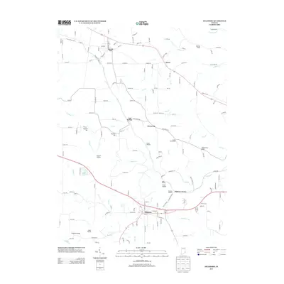 2013 Dillsboro2013 Print · USGSDearborn County's ridges and hollows are documented here in the early twenty-first century, showing the enduring structure of its rural settlements. Local historians can trace the geography of communities like Moores Hill and Chesterville alongside landmarks like Lake Dilldear and Sangamaw Ridge.
 - 2013 Map of Sunman, 2013 Print
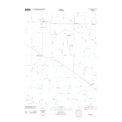 2013 Sunman2013 Print · USGSRipley County is seen here in the early twenty-first century, showcasing a rural Indiana landscape of creek-side settlements and upland ridges. Genealogists and local historians can trace the roads and waterways connecting Sunman, Weisburg, and Manchester, or locate landmarks like Round Hill and Johnson Hollow.
 - 2013 Map of Milan, 2013 Print
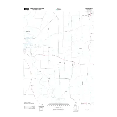 2013 Milan2013 Print · USGSRipley County is defined by the winding waters of Laughery Cr and its many tributaries in the early twenty-first century. Researchers can trace the layout of historic settlements like Milan and Elrod or explore the wooded boundaries of Versailles State Park.
 - 2013 Map of Pierceville, 2013 Print
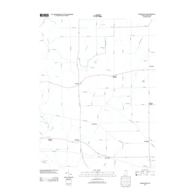 2013 Pierceville2013 Print · USGSRipley County in the early twenty-first century maintains a landscape of crossroads hamlets and small-scale aviation. Genealogists and local historians can trace the positions of Pierceville, Old Milan, and rural airstrips like Buell Airport and Lewis Airfield.
 - 2016 Map of Milan, 2016 Print
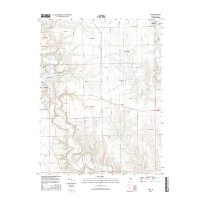 2016 Milan2016 Print · USGSRipley County's creek-carved terrain is shown here in the mid-2010s, centered on the heights between Versailles and Milan. Local researchers can trace family lands near numerous burial sites like Marble Corner Cem, Green Cem, and Blair Cem.
 - 2016 Map of Pierceville, 2016 Print
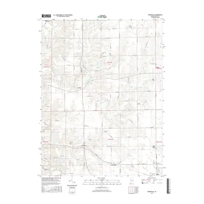 2016 Pierceville2016 Print · USGSSoutheastern Indiana's rural character is on display in the mid-2010s, centered on the historic communities of Milan and Delaware. Researchers can trace local lineages through Little Memory Church Cem or locate regional landmarks like Buell Airport and Old Milan.
 - 2016 Map of Dillsboro, 2016 Print
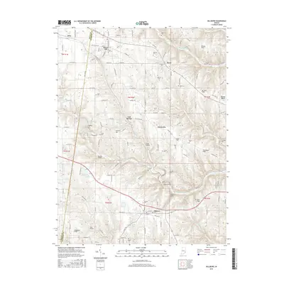 2016 Dillsboro2016 Print · USGSSoutheastern Indiana's rolling hills and creek valleys are captured here during a period of modern rural stability. Researchers can trace numerous family burial sites and small settlements, from Oakdale Cem in Dillsboro to the higher elevations of Mt Sinai Ridge and Sparta.
 - 2016 Map of Sunman, 2016 Print
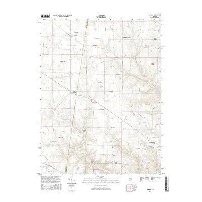 2016 Sunman2016 Print · USGSSoutheastern Indiana's agricultural heartland and rolling ridges come to life in this mid-2010s survey of the Ripley and Dearborn county line. Researchers can locate family landmarks like Saint Pauls Cem and trace early settlements at Sunman and New Alsace.
 - 2019 Map of Milan, 2019 Print
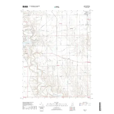 2019 Milan2019 Print · USGSSoutheastern Indiana's Ripley County is shown here in the modern era, where the deep valley of Laughery Creek separates the towns of Versailles and Milan. Genealogists can locate several historic burial sites, such as New Craven Cem and Wilson Family Cem.
 - 2019 Map of Pierceville, 2019 Print
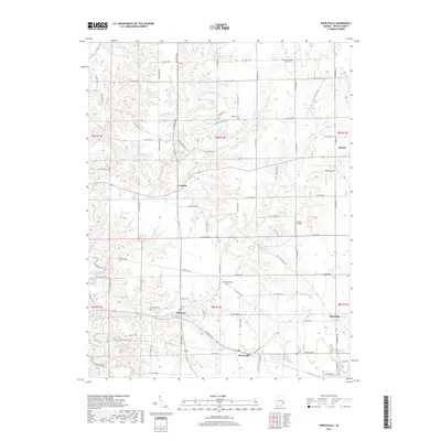 2019 Pierceville2019 Print · USGSSoutheastern Indiana's rural landscape is captured here in the late twenty-tens, showing the enduring settlement patterns of Ripley County. Researchers can trace family history through sites like Delaware Cem, Old Milan, and the crossroads at Pierceville.
 - 2019 Map of Sunman, 2019 Print
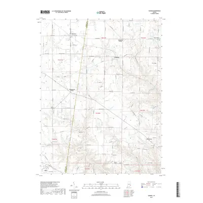 2019 Sunman2019 Print · USGSRipley and Dearborn counties are shown in detail during the late 2010s, illustrating the dense network of ridges and creeks between Sunman and Milan. Researchers can trace local heritage through sites like Saint Pauls Cemetery and the crossroads at Negangards Corner.
Showing maps 1-25 of 30
Top cities near Milan
- Batesville historical maps
- Aurora historical maps
- Sparta historical maps
- Versailles historical maps
- Osgood historical maps
- Delaware historical maps
See more
Frequently asked questions
- What are the different types of historical maps available for Milan?
- What is the oldest map of Milan?
- Where can I purchase historical maps of Milan for my home or office?
- Where can I download high-res historical maps of Milan?
- Are there historical topographic maps available for Milan?
- Is there historical aerial imagery available for Milan?
- Where are historical maps of Milan sourced from?