2020s Maps of Rush County, Indiana
Explore 16 historic maps of Rush County from the 2020s. These maps offer a rare glimpse into what life looked like during the 2020s — showing old roads, neighborhoods, homes, and landmarks that have changed or disappeared over time.
Whether you're researching your family's past, planning a metal detecting trip, or studying how Rush County's landscape evolved across the 2020s, these high-resolution maps are a powerful tool for exploring the history of this region.
- Focus on a specific era: All maps on this page are from the 2020s, giving you a focused view of this time period.
- See what’s changed: Compare century-old streets, trails, and buildings to today's modern landscape using overlays and satellite layers.
- Research with precision: Use these maps for genealogy, historical research, land use analysis, or educational projects.
- View, download, or print: Maps are fully viewable online in high resolution, and can be downloaded or printed for your own records.
Start exploring Rush County's history through authentic maps from the 2020s. This is your window into the past.
Rush County, IN maps
(16)- 2022 Map of Milroy, 2022 Print
 2022 Milroy2022 Print · USGSRush and Decatur Counties are captured in this modern survey of Indiana's till plains. Researchers can trace ancestral sites at Old Richland Methodist Cem, Overleese Cem, and the small crossroads of Sandusky and Williamstown.
 - 2022 Map of Falmouth, 2022 Print
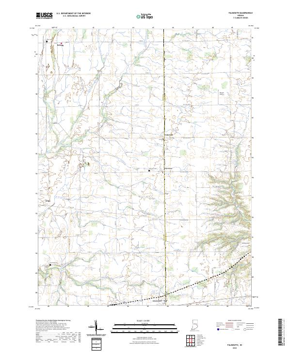 2022 Falmouth2022 Print · USGSRush and Fayette Counties are shown here during a period of modern agricultural stability, centered on the crossroads village of Falmouth. Genealogists and local historians can trace burial sites like Zion Cemetery and the various branches of Ben Davis Creek.
 - 2022 Map of Manilla, 2022 Print
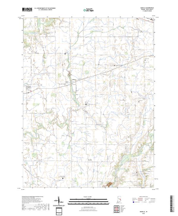 2022 Manilla2022 Print · USGSRush County farmland is captured here in the early 2020s, showcasing a landscape defined by century-old drainage systems and family heritage. Genealogists can trace family names at Sells Cem, Ormes Cem, and the Radar - Bowman - Worland Cem.
 - 2022 Map of Carthage, 2022 Print
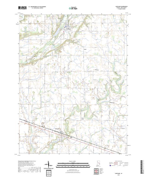 2022 Carthage2022 Print · USGSCarthage and the surrounding Rush County farmlands are captured in this recent survey, showcasing the enduring layout of rural Indiana. Genealogists and historians can trace family locations near Arlington, Riverside Cem, and the small settlement of Henderson.
 - 2022 Map of Mays, 2022 Print
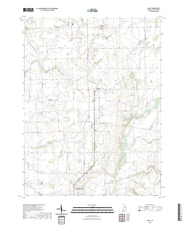 2022 Mays2022 Print · USGSRush County's rural townships are captured in detail here, showing the agricultural heartland between the villages of Mays and Sexton. Genealogists and local historians can trace family locations near Center Church Cem, Concord Cem, and the winding Flatrock River.
 - 2022 Map of Rushville, 2022 Print
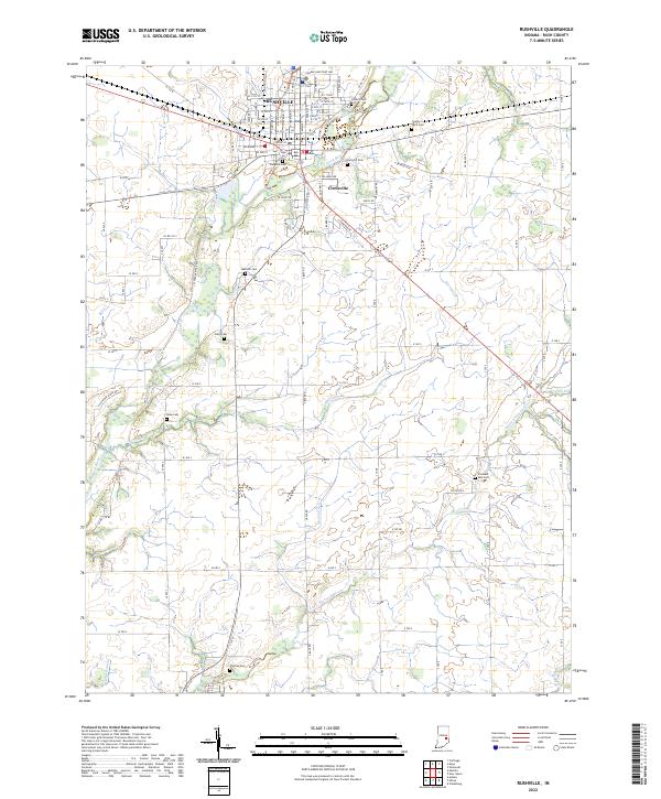 2022 Rushville2022 Print · USGSRushville and its surrounding agricultural townships appear in this recent 2022 survey, showcasing the enduring settlement patterns of central Indiana. Genealogists can locate several family and municipal burial sites including Laughlin Cem, Duke Cem, and the County Farm Cem along the Flatrock River.
 - 2022 Map of Morristown, 2022 Print
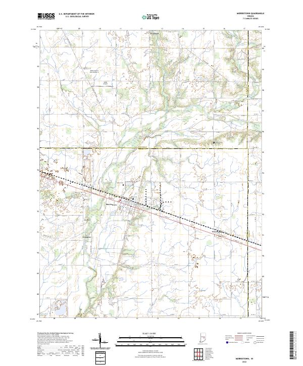 2022 Morristown2022 Print · USGSMorristown and its surrounding Shelby County farmland are documented in the early 2020s as a landscape of river-fed agriculture and small-town hubs. Researchers can trace local history through sites like Haskett Cem, the settlement at Gwynneville, and the natural rise of Hog Back.
 - 2022 Map of New Salem, 2022 Print
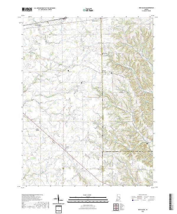 2022 New Salem2022 Print · USGSRush County farmland and the hills of the Fayette County border meet here in the early 2020s. Genealogists can trace family names through numerous pioneer burial sites including Old Friends Church Cem, Gregg Cem, and the Old Brick Cem near New Salem.
 - 2022 Map of Clarksburg, 2022 Print
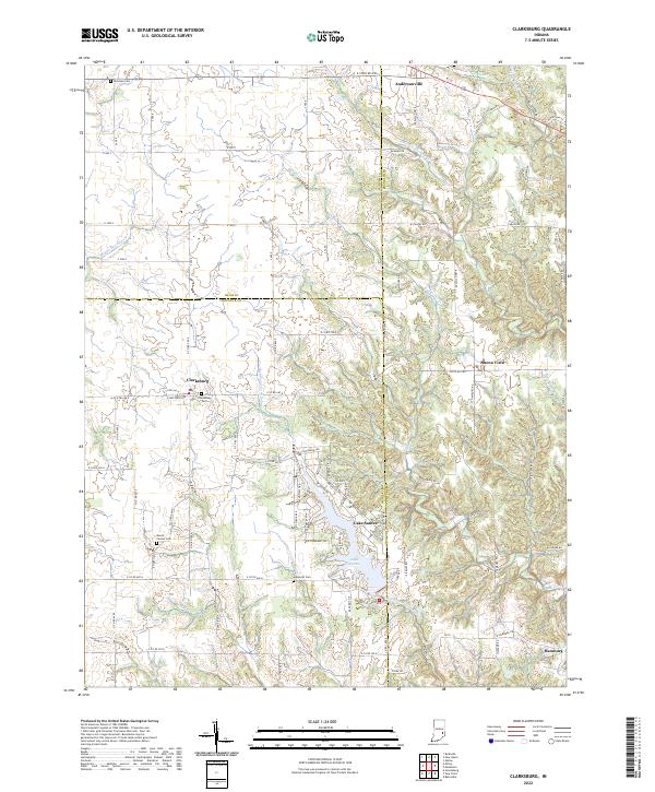 2022 Clarksburg2022 Print · USGSSoutheast Indiana's rural agricultural heartland is documented here in the early twenty-first century as modern developments meet historic town centers. Genealogists can trace family footprints through sites like Clarksburg Cem, Mount Carmel Cem, and the village of Hamburg.
 - 2022 Map of Rays Crossing, 2022 Print
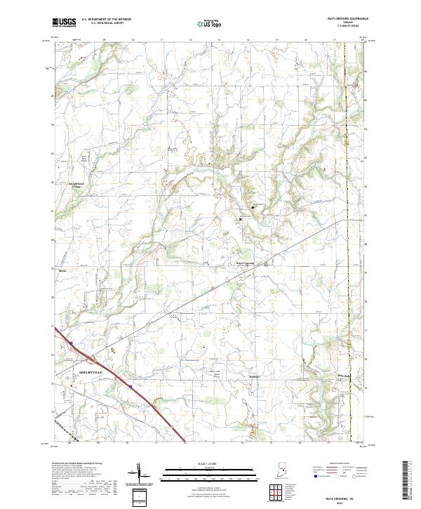 2022 Rays Crossing2022 Print · USGSShelby County farmland and the river valleys east of the county seat are captured in this recent survey. Researchers can trace rural lineages through Dewitt Cem or explore the smaller crossroads of Rays Crossing, Meltzer, and Blue Ridge.
 - 2022 Map of Adams, 2022 Print
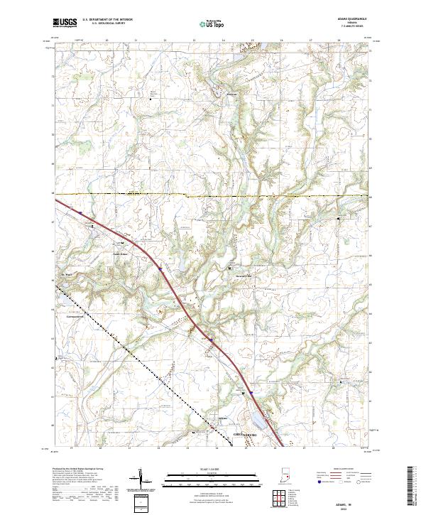 2022 Adams2022 Print · USGSThe borderlands of Rush and Decatur counties appear in high detail during the early 2020s, showing a landscape of structured farmsteads and river valleys. Genealogists can locate several family burial sites including Mount Hebron Cem, Shiloh Cem, and Arnold Cem.
 - 2022 Map of Cleveland, 2022 Print
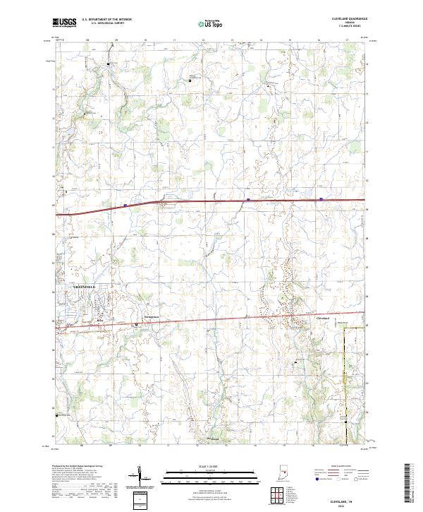 2022 Cleveland2022 Print · USGSHancock County is shown here in the early 2020s, featuring the intersection of rural heritage and suburban growth east of Indianapolis. Genealogists and historians can locate numerous small burial sites like Baptist Braddock Cem and Gilboa Cem near the historic Cleveland and Stringtown settlements.
 - 2022 Map of Waldron, 2022 Print
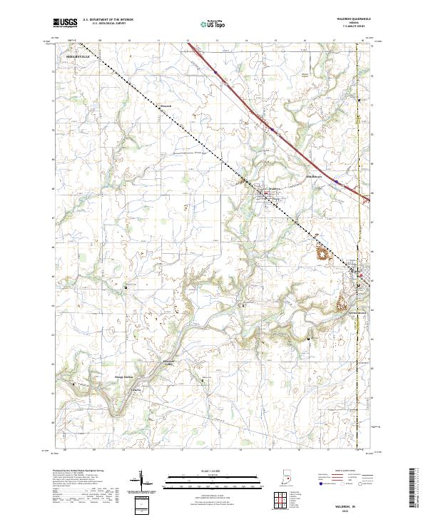 2022 Waldron2022 Print · USGSSoutheast Shelby County is documented here in the early 2020s, showing a landscape of fertile farmland between the Flatrock River and the outskirts of Shelbyville. Genealogists can locate several historic burial sites, including Saint Paul Catholic Cemetery, Van Pelt Cemetery, and Reed Cemetery.
 - 2022 Map of Dunreith, 2022 Print
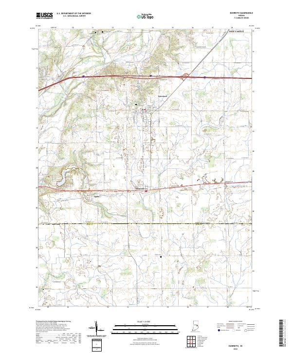 2022 Dunreith2022 Print · USGSHenry County is showcased in this recent survey, capturing the agricultural and small-town character of central Indiana. Genealogists and local historians can trace family roots through numerous burial sites like Shiloh Cem and Hicksite Cem or explore the river valleys of the Big Blue River and Little Blue River.
 - 2022 Map of Knightstown, 2022 Print
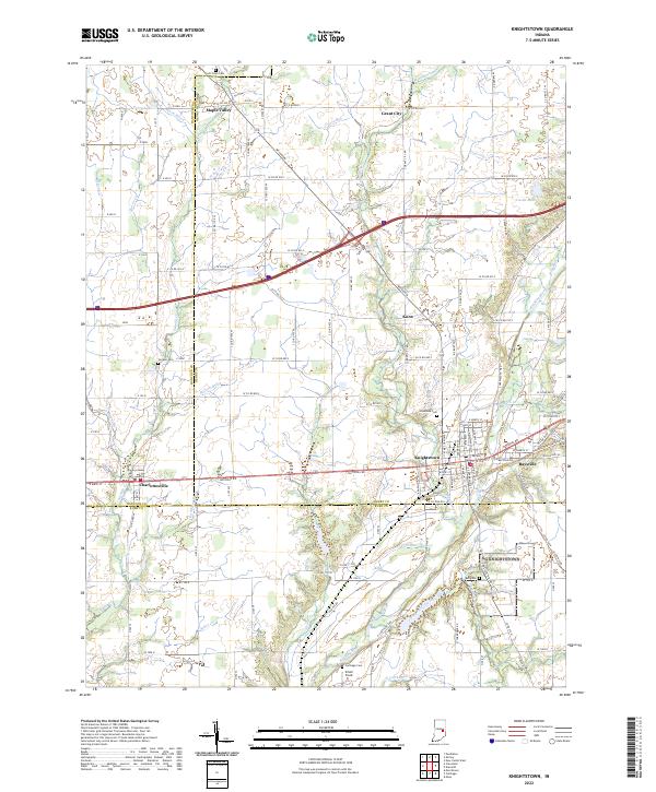 2022 Knightstown2022 Print · USGSKnightstown and the historic National Road corridor are captured here at the start of the 2020s. Genealogists and local historians can trace the roads and waterways connecting Charlottesville, Raysville, and several rural burial grounds like Glencove Cem.
 - 2022 Map of Lewisville, 2022 Print
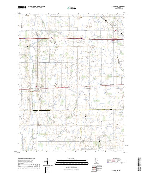 2022 Lewisville2022 Print · USGSHenry County and the surrounding tri-county area are shown in this modern survey, centered on the historic east-west transit corridor. Researchers can trace family sites at Ebenezer Cem or follow the route of the National Road Heritage Trl through Lewisville and Straughn.
End of results
Showing maps 1-16 of 16
Top cities of Rush County
Frequently asked questions
- What are the different types of historical maps available for Rush County?
- What is the oldest map of Rush County?
- Where can I purchase historical maps of Rush County for my home or office?
- Where can I download high-res historical maps of Rush County?
- Are there historical topographic maps available for Rush County?
- Is there historical aerial imagery available for Rush County?
- Where are historical maps of Rush County sourced from?