2010s Maps of Rush County, Indiana
Explore 64 historic maps of Rush County from the 2010s. These maps offer a rare glimpse into what life looked like during the 2010s — showing old roads, neighborhoods, homes, and landmarks that have changed or disappeared over time.
Whether you're researching your family's past, planning a metal detecting trip, or studying how Rush County's landscape evolved across the 2010s, these high-resolution maps are a powerful tool for exploring the history of this region.
- Focus on a specific era: All maps on this page are from the 2010s, giving you a focused view of this time period.
- See what’s changed: Compare century-old streets, trails, and buildings to today's modern landscape using overlays and satellite layers.
- Research with precision: Use these maps for genealogy, historical research, land use analysis, or educational projects.
- View, download, or print: Maps are fully viewable online in high resolution, and can be downloaded or printed for your own records.
Start exploring Rush County's history through authentic maps from the 2010s. This is your window into the past.
Rush County, IN maps
(64)- 2010 Map of Milroy, 2010 Print
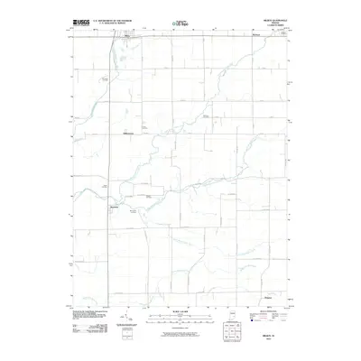 2010 Milroy2010 Print · USGSIn this early twenty-first-century survey of the Rush County countryside, the intricate drainage of the Clifty Creek branches meets a traditional grid of county roads. Genealogists can locate numerous family burial grounds, including Overleese Cemetery, Swails Cemetery, and Butcher Cemetery.
 - 2010 Map of Dunreith, 2010 Print
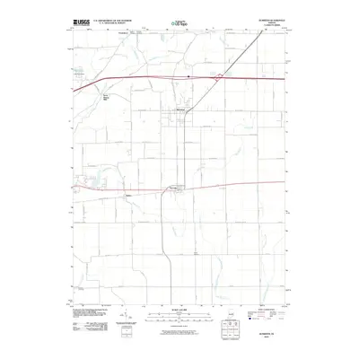 2010 Dunreith2010 Print · USGSHenry County at the start of the 21st century remains a landscape of historic crossroads and river valleys. Genealogists and local historians can trace family plots at Reddick Cemetery or Shiloh Cemetery, and locate industrial sites like Stone Quarry Mills.
 - 2010 Map of Falmouth, 2010 Print
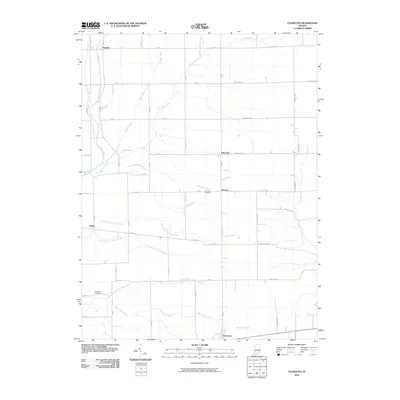 2010 Falmouth2010 Print · USGSRush County farmland at the start of the twenty-first century is defined by a deep-rooted grid of rural roads and drainage networks. Researchers can pinpoint Fairview Cemetery and Hinchman Cemetery or trace the paths of Shawnee Creek and the Flatrock River.
 - 2010 Map of Carthage, 2010 Print
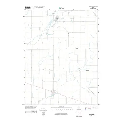 2010 Carthage2010 Print · USGSRush County agriculture and river life are captured here at the dawn of the 2010s. Researchers can trace local lineage through Riverside Cemetery and East Hill Cemetery or locate old homesteads near Carthage and Arlington.
 - 2010 Map of Manilla, 2010 Print
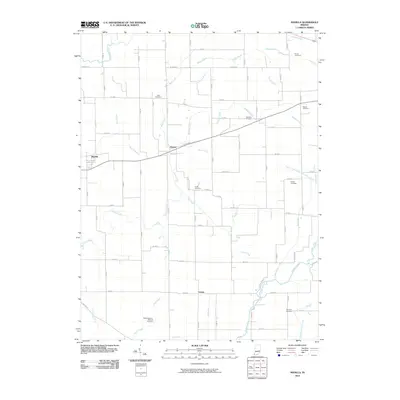 2010 Manilla2010 Print · USGSRush County farmland and the small communities of Manilla and Homer are captured here during a period of modern agricultural stability. Genealogists can trace family heritage through numerous burial sites like Sells Cemetery and Goddard Cemetery along the banks of the Flatrock River.
 - 2010 Map of Waldron, 2010 Print
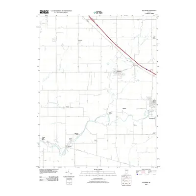 2010 Waldron2010 Print · USGSSoutheastern Indiana's rural landscape is captured here in the early twenty-first century as a network of small river towns and family cemeteries. Researchers can trace ancestral sites at Vienna Cemetery or Union Chapel Cemetery and explore the historic layout of Saint Paul and Waldron.
 - 2010 Map of Mays, 2010 Print
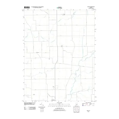 2010 Mays2010 Print · USGSRush County farmland north of Rushville is captured here in the early twenty-first century as a landscape of grid roads and wandering creeks. Researchers can locate family sites near Mays and Sexton, or trace the paths of the Flatrock River and Little Blue River.
 - 2010 Map of New Salem, 2010 Print
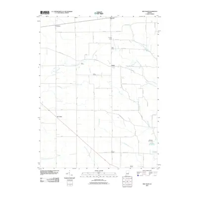 2010 New Salem2010 Print · USGSRush County's rural townships are documented in the early twenty-first century, showing a landscape of traditional farmsteads and quiet crossroads. Genealogists can trace family heritage through numerous burial sites like Gregg Cemetery, Heaton Cemetery, and the Old Friends Church Cemetery.
 - 2010 Map of Adams, 2010 Print
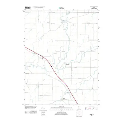 2010 Adams2010 Print · USGSSoutheast Indiana's rural landscape is captured here in the early twenty-first century, showing a network of river-valley settlements and family cemeteries. Genealogists can trace sites like Mount Hebron Cemetery, Saint Omer, and Union Chapel Cemetery among the grid of county roads.
 - 2010 Map of Morristown, 2010 Print
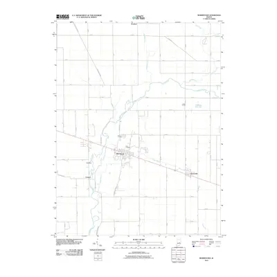 2010 Morristown2010 Print · USGSThe rural landscape of Shelby County is shown here in the early 21st century, centered on the historic crossroads of Morristown. Researchers can trace the path of the Big Blue River and locate ancestral sites like Asbury Cemetery and the village of Gwynneville.
 - 2010 Map of Cleveland, 2010 Print
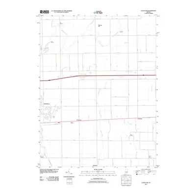 2010 Cleveland2010 Print · USGSHancock County's farmland and early 21st-century residential expansion meet in this survey of the area east of Greenfield. Genealogists can locate numerous family burial sites like Caldwell Cemetery and Gilboa Cemetery along the banks of Nameless Creek.
 - 2010 Map of Rushville, 2010 Print
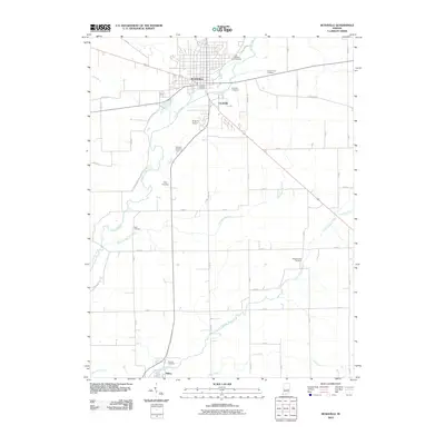 2010 Rushville2010 Print · USGSRush County at the start of the 2010s reveals a structured landscape of family-named cemeteries and river-valley settlements. Genealogists and local historians can trace legacy sites like Laughlin Cemetery and Pleasant Run Cemetery or the rural layout near Milroy.
 - 2010 Map of Lewisville, 2010 Print
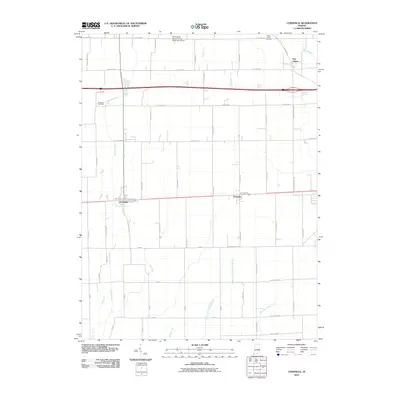 2010 Lewisville2010 Print · USGSHenry County is captured here in the early twenty-first century, showing the enduring agricultural layout of the Indiana countryside. Family historians can trace local landmarks like Ebenezer Cemetery or the rural settlements of Lewisville and Straughn.
 - 2010 Map of Rays Crossing, 2010 Print
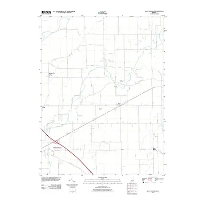 2010 Rays Crossing2010 Print · USGSShelby County in the early 21st century shows a well-preserved rural landscape where the river forks meet the outskirts of town. Genealogists and local historians can trace family lines through Bennett Cemetery and identify small communities like Rays Crossing and Meltzer.
 - 2010 Map of Clarksburg, 2010 Print
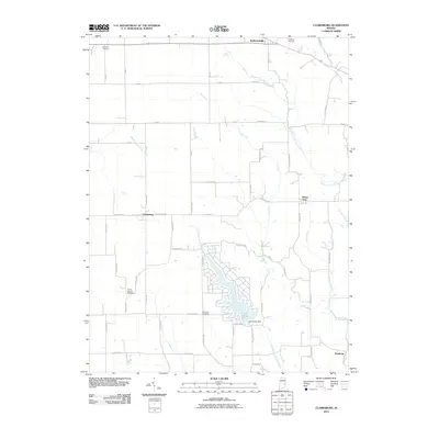 2010 Clarksburg2010 Print · USGSSoutheastern Indiana's agricultural landscape is shown here in the early twenty-first century, centered on the residential development at Lake Santee. Researchers can trace local heritage through sites like Old Brick Cemetery and settlements like Andersonville and Clarksburg.
 - 2010 Map of Knightstown, 2010 Print
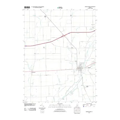 2010 Knightstown2010 Print · USGSKnightstown and the Big Blue River valley are shown here at the start of the 21st century, anchored by the historic National Road. Genealogists and historians can trace family roots through several local landmarks including Glencove Cemetery, Raysville, and the Willcox Airport.
 - 2013 Map of Carthage, 2013 Print
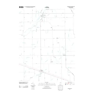 2013 Carthage2013 Print · USGSRush County in the early 2010s shows a landscape of established farming towns and an intricate network of river-fed drainage. Genealogists and local historians can trace the rural infrastructure connecting Carthage, Arlington, and the smaller settlement of Boyd.
 - 2013 Map of Mays, 2013 Print
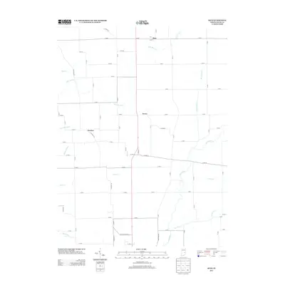 2013 Mays2013 Print · USGSThe Indiana countryside near Rushville is shown here in the early 21st century, where quiet hamlets remain tied to a dense network of river forks and drainage ditches. Family historians can locate the small settlements of Mays, Sexton, and Occident near the banks of the Little Blue River.
 - 2013 Map of Dunreith, 2013 Print
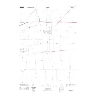 2013 Dunreith2013 Print · USGSHenry County at the start of the 2010s reveals a structured landscape of established towns and cross-country watercourses. Genealogists and local historians can trace the residential layouts of Spiceland and Dunreith or locate landmarks like Stone Quarry Mills and Knightstown Spring.
 - 2013 Map of New Salem, 2013 Print
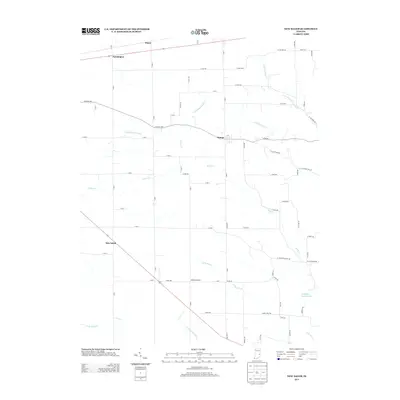 2013 New Salem2013 Print · USGSRush County farmland at the start of the 2010s shows a landscape still deeply tied to its historical watercourses and rural road networks. Researchers can pinpoint small communities like Orange and New Salem or locate landmarks such as the McMinn Airport and Woodland Retreat Lake.
 - 2013 Map of Rays Crossing, 2013 Print
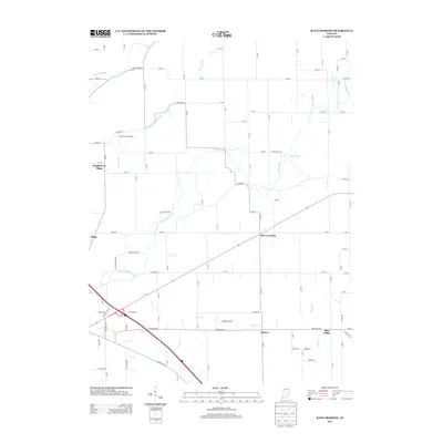 2013 Rays Crossing2013 Print · USGSShelby County farmland and rural junctions come alive in this decade-old survey of the Indiana interior. Researchers can trace the path of the Little Blue River and locate historic community points like Rays Crossing, Blue Ridge, and the Foltz Farm Airport.
 - 2013 Map of Morristown, 2013 Print
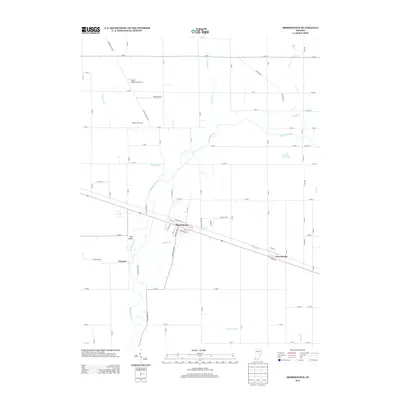 2013 Morristown2013 Print · USGSShelby County farmland and river bends appear in detail as this area looked just over a decade ago. Genealogists and local historians can trace the streets of Morristown, locate the Hamilton Twin Lake, and find landmarks like Hog Back along the Big Blue River.
 - 2013 Map of Cleveland, 2013 Print
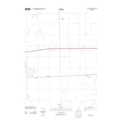 2013 Cleveland2013 Print · USGSHancock County at the start of the 2010s shows a transition between traditional agriculture and modern infrastructure. Genealogists and local historians can trace the positions of old crossroads communities like Cleveland, Stringtown, and Westland alongside local landmarks like Pope Field Airport.
 - 2013 Map of Lewisville, 2013 Print
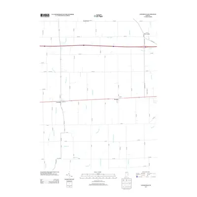 2013 Lewisville2013 Print · USGSHenry County is captured here in the early 2010s, showing a landscape defined by traditional farmsteads and modern transit. Researchers can trace the water-management history of the region through Glidden Ditch and Hall Ditch, or explore the historic centers of Lewisville and Straughn.
 - 2013 Map of Clarksburg, 2013 Print
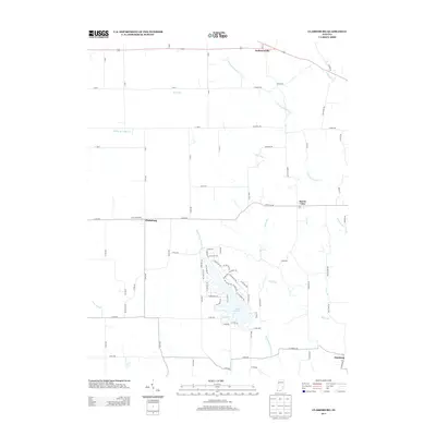 2013 Clarksburg2013 Print · USGSIndiana's rural eastern landscape is captured here in the early twenty-first century, centered on the residential development of Lake Santee. Researchers can trace old family road names like Bulltown Rd and Rickman Rd near Andersonville and Buena Vista.
Showing maps 1-25 of 64
Top cities of Rush County
Frequently asked questions
- What are the different types of historical maps available for Rush County?
- What is the oldest map of Rush County?
- Where can I purchase historical maps of Rush County for my home or office?
- Where can I download high-res historical maps of Rush County?
- Are there historical topographic maps available for Rush County?
- Is there historical aerial imagery available for Rush County?
- Where are historical maps of Rush County sourced from?