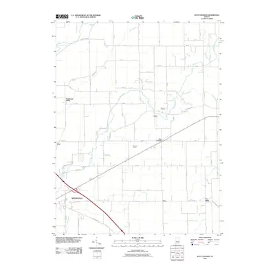
2010 Map of Rays Crossing
USGS Topo · Published 2010About this map
Shelbyville and its surrounding rural hamlets are defined by the winding paths of the Big Blue River and the Little Blue River. This landscape reflects a dense network of county roads, such as N Morristown Rd and E Michigan Rd, which link small clusters of homes and family landmarks. The map documents scattered settlements like Rays Crossing and Blue Ridge, alongside established agricultural infrastructure. Genealogists will find notable burial grounds including Bennett Cemetery and Dewitt Cemetery, while aviation history is represented by the Parkinson Airport. The terrain is shaped by several watercourses including Lewis Creek, Cotton Run, and Manilla Branch, illustrating the drainage patterns that have supported Shelby County farming for generations. The layout of Knighthood Village and Meltzer provides a view into the residential and commercial distribution across the township during the early 21st century.
Find a feature on this map
36 named features on this map. Tap any name to fly to it.
Don’t see what you’re looking for? This feature index may not catch every label — zoom into the map to look around manually.
Map Details
Editions of this 2010 Rays Crossing Map
This is the sole edition of this map. No revisions or reprints were ever made.
Other maps of this area

1942 · Columbus
USGS Topo · 1:125,000

1948 · Lewis Creek
USGS Topo · 1:24,000

1950 · Edinburg
USGS Topo · 1:62,500

1952 · Fountaintown
USGS Topo · 1:24,000

1953 · Shelbyville
USGS Topo · 1:24,000

1953 · Cincinnati
USGS Topo · 1:250,000

1956 · Morristown
USGS Topo · 1:24,000

1956 · Waldron
USGS Topo · 1:24,000

1956 · Rays Crossing
USGS Topo · 1:24,000

1957 · Cincinnati
USGS Topo · 1:250,000