
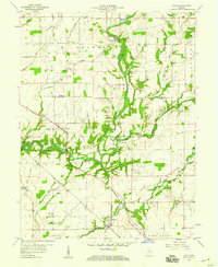
1956 Map of Rays Crossing
USGS Topo · Published 1958About this map
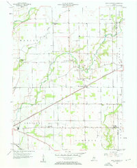
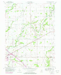
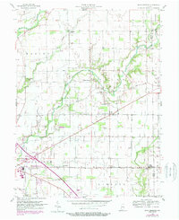
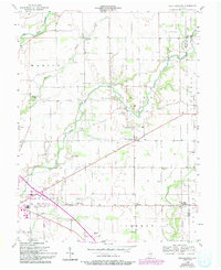
The Little Blue River and its meandering tributaries, including Foreman Branch and Sulphur Run, define the rural landscape of eastern Shelby County in the mid-1950s. At the heart of this agricultural region lies Rays Crossing, a small community situated along the Pennsylvania railroad line, featuring Grain Storage Bins that highlight the local economy. The map reveals a high density of rural institutions, such as Township Sch and several country churches including Little Blue River Ch and Zion Ch, which served as social hubs for the surrounding farmsteads. To the south, the village of Blue Ridge and the hamlet of Meltzer sit near the winding Conns Creek, while the New York Central railroad cuts through the southwestern corner near Knightstown Village. Numerous gas wells dot the townships of Marion, Union, and Addison, indicating active resource extraction amidst the fields.
Find a feature on this map
28 named features on this map. Tap any name to fly to it.
Don’t see what you’re looking for? This feature index may not catch every label — zoom into the map to look around manually.
Map Details
Editions of this 1956 Rays Crossing Map
5 editions found
Other maps of this area

1942 · Columbus
USGS Topo · 1:125,000

1948 · Lewis Creek
USGS Topo · 1:24,000

1950 · Edinburg
USGS Topo · 1:62,500

1952 · Fountaintown
USGS Topo · 1:24,000

1953 · Shelbyville
USGS Topo · 1:24,000

1953 · Cincinnati
USGS Topo · 1:250,000

1956 · Morristown
USGS Topo · 1:24,000

1956 · Waldron
USGS Topo · 1:24,000

1957 · Cincinnati
USGS Topo · 1:250,000
1959 · Adams
USGS Topo · 1:24,000