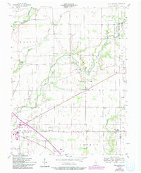
1956 Map of Rays Crossing
USGS Topo · Published 1994About this map
The Big Blue River and Little Blue River converge north of Shelbyville, shaping the agrarian landscape of central Indiana during the mid-20th century. This area, largely defined by the townships of Marion, Union, and Addison, is dotted with several small settlements such as Rays Crossing, Blue Ridge, and Meltzer. The map reveals a high concentration of community landmarks that served these rural populations, including the Little Blue River Ch, Zion Ch, and Mt Pisgah Ch.
Find a feature on this map
31 named features on this map. Tap any name to fly to it.
Don’t see what you’re looking for? This feature index may not catch every label — zoom into the map to look around manually.
Map Details
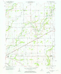
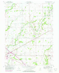
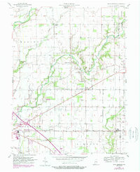
Editions of this 1956 Rays Crossing Map
5 editions found
Other maps of this area

1942 · Columbus
USGS Topo · 1:125,000

1948 · Lewis Creek
USGS Topo · 1:24,000

1950 · Edinburg
USGS Topo · 1:62,500

1952 · Fountaintown
USGS Topo · 1:24,000

1953 · Shelbyville
USGS Topo · 1:24,000

1953 · Cincinnati
USGS Topo · 1:250,000

1956 · Morristown
USGS Topo · 1:24,000

1956 · Waldron
USGS Topo · 1:24,000

1956 · Rays Crossing
USGS Topo · 1:24,000

1957 · Cincinnati
USGS Topo · 1:250,000