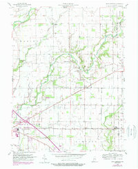
1956 Map of Rays Crossing
USGS Topo · Published 1988About this map
The Little Blue River and its tributaries, including Sulphur Run and Cotton Run, define the rural landscape of eastern Shelby County. Small community centers like Rays Crossing and Meltzer serve as focal points for the surrounding agricultural townships of Union, Walker, and Liberty. The map illustrates a shift in local infrastructure, noting the Old RR Gr alongside newer mid-century landmarks such as a Drive-in Theater and a Trailer Park near the edge of Shelbyville. Local spiritual and educational history is deeply rooted here, evidenced by several country churches including Blue River Chapel, Mt Pisgah Ch, and Zion Ch. Genealogists may find value in the location of the Township Sch and family-named sites like Bennett Cem, which sit among the many farmsteads that characterize this portion of the Indiana heartland during the late 1950s and into the 1980s.
Find a feature on this map
31 named features on this map. Tap any name to fly to it.
Don’t see what you’re looking for? This feature index may not catch every label — zoom into the map to look around manually.
Map Details
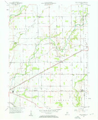
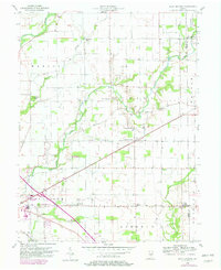
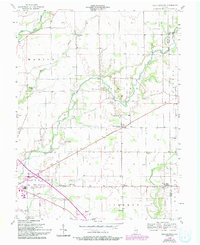
Editions of this 1956 Rays Crossing Map
5 editions found
Other maps of this area

1942 · Columbus
USGS Topo · 1:125,000

1948 · Lewis Creek
USGS Topo · 1:24,000

1950 · Edinburg
USGS Topo · 1:62,500

1952 · Fountaintown
USGS Topo · 1:24,000

1953 · Shelbyville
USGS Topo · 1:24,000

1953 · Cincinnati
USGS Topo · 1:250,000

1956 · Morristown
USGS Topo · 1:24,000

1956 · Waldron
USGS Topo · 1:24,000

1956 · Rays Crossing
USGS Topo · 1:24,000

1957 · Cincinnati
USGS Topo · 1:250,000