Old Maps of Lewis Creek, Indiana for Genealogy
Trace your family roots with 12 historic maps of Lewis Creek. These high-res maps reveal old neighborhoods, homesites, landmarks, and streets — helping you uncover where your ancestors lived and how the area evolved over time.
- Explore historic neighborhoods: Identify where your relatives may have lived in the 1800s or 1900s.
- Compare maps over time: Trace the changes in streets, buildings, and landmarks for multi-generational research.
- Perfect for genealogy & ancestry research: Used by family historians and researchers to map out lineage and migration.
These maps are an incredible resource for exploring your personal connection to Lewis Creek's past.
Lewis Creek, IN maps
(12)- 1942 Map of Columbus
 1942 Columbus1942 Print · USGSBartholomew and Shelby counties are shown during the early years of the war, as military installations and rail lines reshaped the rural Indiana landscape. Genealogists can trace family-named sites and established communities like St Louis Crossing, Hope, and the sprawling Camp Atterbury.
 - 1948 Map of Lewis Creek
 1948 Lewis Creek1948 Print · USGSShelby County in the late 1940s reveals a productive rural landscape of small crossroads and family-named landmarks. Genealogists can trace property roots near Smithland or locate local burial sites like Eberhart Cem and Parrish Cem along the Pennsylvania rail line.2 unique versions available
 - 1950 Map of Edinburg
 1950 Edinburg1950 Print · USGSMid-century Shelby and Bartholomew Counties are captured here as the military presence at Atterbury meets a deeply rooted farming landscape. Researchers can locate dozens of country landmarks like Jollity Church, Tennehill Bridge, and the Shelby Township School.2 unique versions available
 - 1953 Map of Cincinnati, 1965 Print
 1953 Cincinnati1965 Print · USGSThe Ohio River valley and the industrial heartland of Indiana and Ohio are captured here during the mid-century peak of rail and river commerce. Genealogists and historians can trace connections between Cincinnati and outlying military sites like Camp Atterbury and Bakalar AFB.3 unique versions available
 - 1957 Map of Cincinnati
 1957 Cincinnati1957 Print · USGSThe Ohio River valley and its surrounding highlands thrived during the mid-fifties industrial peak, centered on the bustling Cincinnati and Dayton metropolitan hubs. Researchers can trace the extensive rail networks and military sites like Wright-Patterson AFB and Camp Atterbury.
 - 1968 Map of Lewis Creek, 1970 Print
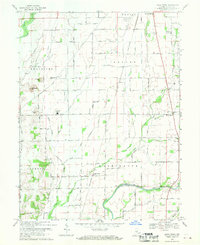 1968 Lewis Creek1970 Print · USGSShelby County farmland is captured here in the late sixties, showing a landscape defined by the Penn Central rail corridor and river valleys. Researchers can trace rural lineages through family landmarks like Patterson Cem, Eberhart Cem, and Winchester Ch.3 unique versions available
 - 1986 Map of Greensburg
 1986 Greensburg1986 Print · USGSSoutheastern Indiana in the mid-eighties shows a balance of growing industrial centers and deeply rooted rural communities. Family historians can trace landmarks like the Highland Center School, South Park Cemetery, and the Bartholomew County Courthouse among the river forks.2 unique versions available
 - 2010 Map of Lewis Creek, 2010 Print
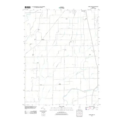 2010 Lewis Creek2010 Print · USGSShelby County farmland just south of Shelbyville is captured here during a period of modern rural stability. Genealogists can locate specific burial sites like Tindall Cemetery and Parrish Cemetery or trace family landmarks such as McFarren Hill.
 - 2013 Map of Lewis Creek, 2013 Print
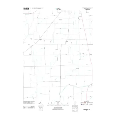 2013 Lewis Creek2013 Print · USGSShelby County farmland was deeply established by the early twenty-first century, characterized by its intricate drainage network and rural junctions. Genealogists and local historians can trace the road systems connecting Smithland, Fenns, and Lewis Creek or locate landmarks like Money Hill.
 - 2016 Map of Lewis Creek, 2016 Print
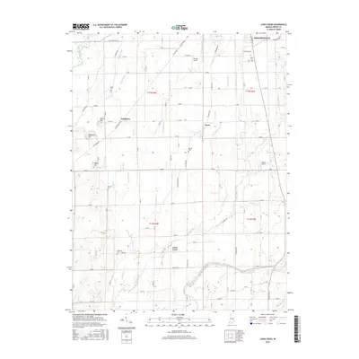 2016 Lewis Creek2016 Print · USGSShelbyville's rural southern border and the fertile plains of Shelby County appear in detail during this mid-2010s survey. Genealogists and local historians can trace family land near Smithland and Fenns, or locate small burying grounds like Eberhart Cem and Parrish Cem.
 - 2019 Map of Lewis Creek, 2019 Print
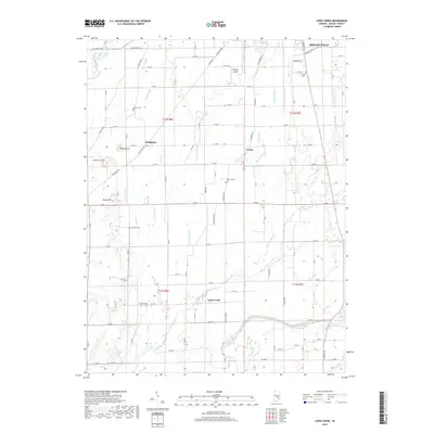 2019 Lewis Creek2019 Print · USGSShelby County south of Shelbyville is captured here in the late 2010s, showing a landscape shaped by the Big Blue and Flatrock Rivers. Researchers can locate several historical burial grounds, including Miller Cemetery and Parrish Cemetery, alongside small crossroads like Smithland.
 - 2022 Map of Lewis Creek, 2022 Print
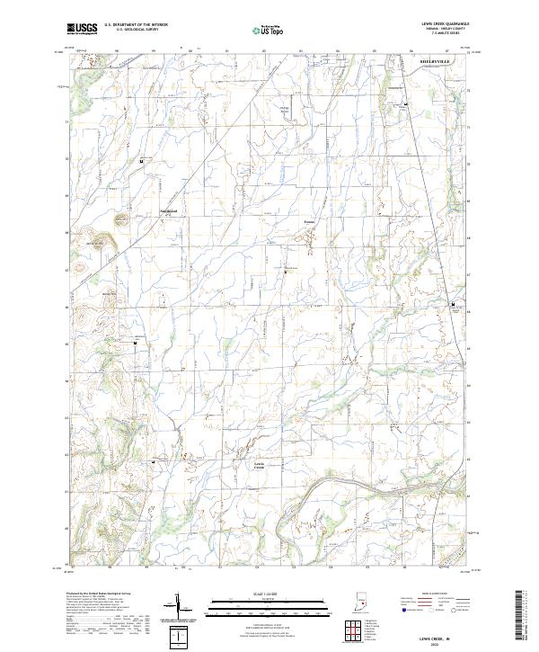 2022 Lewis Creek2022 Print · USGSShelby County in the early 2020s remains a landscape of deep-rooted farmsteads and rural crossroads south of SHELBYVILLE. Local researchers can trace family lands near Smithland or locate generational resting places at Patterson Cem and the Lewis Creek Baptist Cem.
End of results
Showing maps 1-12 of 12
Top cities near Lewis Creek
- Greenwood historical maps
- Columbus historical maps
- Franklin historical maps
- Shelbyville historical maps
- Needham historical maps
- Hope historical maps
See more
Frequently asked questions
- What are the different types of historical maps available for Lewis Creek?
- What is the oldest map of Lewis Creek?
- Where can I purchase historical maps of Lewis Creek for my home or office?
- Where can I download high-res historical maps of Lewis Creek?
- Are there historical topographic maps available for Lewis Creek?
- Is there historical aerial imagery available for Lewis Creek?
- Where are historical maps of Lewis Creek sourced from?