Old Maps of Liberty, Indiana for Metal Detecting
Plan your next treasure hunt with 12 historic maps of Liberty. Find old homesites, ghost towns, trails, and gathering spots that may be lost to time — perfect for identifying promising metal detecting locations.
- Locate forgotten sites: Uncover places like long-lost settlements, abandoned rail lines, or gathering spots.
- Plan better hunts: Use map overlays combined with LiDAR or satellite views to narrow in on historically rich areas.
- Made for detectorists: Thousands of hobbyists use these maps to discover relics, coins, and hidden history.
Use these historic maps to boost your research and find new opportunities beneath the surface of Liberty.
Liberty, IN maps
(12)- 1915 Map of College Corner
 1915 College Corner1915 Print · USGSThe Indiana-Ohio borderlands at the start of the twentieth century are defined here by rail hubs and rural townships. Trace family roots and vanished landmarks near College Corner, Concord Church, and the winding Fourmile Creek.
 - 1918 Map of College Corner
 1918 College Corner1918 Print · USGSThe Indiana-Ohio borderlands come into focus during the Great War era, showing the intersection of rail and road commerce. Genealogists and historians can trace the early layout of College Corner, the grounds of Tallawanda Springs, and rural landmarks like School No 3.4 unique versions available
 - 1953 Map of Cincinnati, 1965 Print
 1953 Cincinnati1965 Print · USGSThe Ohio River valley and the industrial heartland of Indiana and Ohio are captured here during the mid-century peak of rail and river commerce. Genealogists and historians can trace connections between Cincinnati and outlying military sites like Camp Atterbury and Bakalar AFB.3 unique versions available
 - 1957 Map of Cincinnati
 1957 Cincinnati1957 Print · USGSThe Ohio River valley and its surrounding highlands thrived during the mid-fifties industrial peak, centered on the bustling Cincinnati and Dayton metropolitan hubs. Researchers can trace the extensive rail networks and military sites like Wright-Patterson AFB and Camp Atterbury.
 - 1960 Map of Liberty, 1961 Print
 1960 Liberty1961 Print · USGSThe eastern Indiana countryside around the town of Liberty is shown here in the early sixties, just as the local landscape was being shaped by the new Whitewater State Park. Researchers can locate numerous family landmarks and burial sites, including Potter Cem, Woods Chapel, and the Baltimore and Ohio rail line.
 - 1974 Map of Liberty, 1975 Print
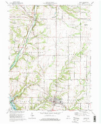 1974 Liberty1975 Print · USGSLiberty and the Whitewater River valley are shown here in the mid-seventies just as Brookville Lake was reshaping the local landscape. Genealogists and local historians can locate several rural burial grounds including Patterson Cem and Silver Creek Cem, or trace the old Baltimore and Ohio rail line.2 unique versions available
 - 1986 Map of Dayton
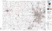 1986 Dayton1986 Print · USGSThe Miami Valley and the Indiana-Ohio borderlands reached a peak of suburban and industrial connectivity in the mid-eighties. Genealogists and historians can trace family burial sites at Miami Memorial Garden (Cem) and the development surrounding Wright-Patterson Air Force Base.2 unique versions available
 - 2010 Map of Liberty, 2010 Print
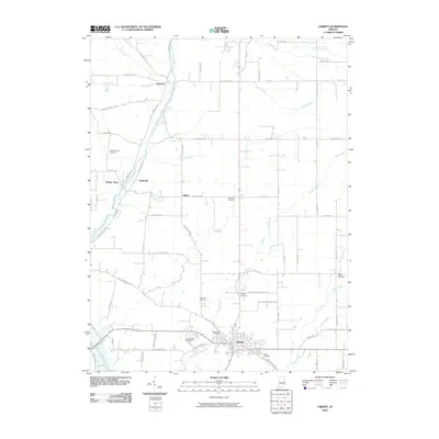 2010 Liberty2010 Print · USGSThe town of Liberty and its surrounding Union County farmland are captured here in the early twenty-first century. Genealogists can trace family roots through numerous burial grounds like West Point Cemetery, Patterson Cemetery, and the riverfront settlement of Abington.
 - 2013 Map of Liberty, 2013 Print
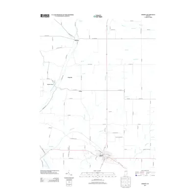 2013 Liberty2013 Print · USGSUnion County's landscape in the early 2010s reveals a timeless network of small settlements and meandering creek valleys. Genealogists and local historians can trace family land ties near the E Fork Whitewater River or throughout the crossroads communities of Abington, Hopeville, and Liberty.
 - 2016 Map of Liberty, 2016 Print
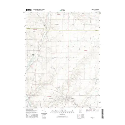 2016 Liberty2016 Print · USGSThe eastern Indiana landscape near the Wayne and Union County line is mapped here during a period of modern rural stability. Researchers can trace family history through numerous burial sites like West Point Cem and Patterson Cem or locate the small settlements of Abington and Yankee Town.
 - 2019 Map of Liberty, 2019 Print
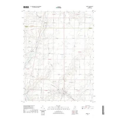 2019 Liberty2019 Print · USGSThe Liberty area at the end of the 2010s remains a landscape defined by the Whitewater River and its many small tributaries. Genealogists can trace family roots through numerous rural plots like Silver Creek Cem, Patterson Cem, and the hamlets of Abington and Yankee Town.
 - 2022 Map of Liberty, 2022 Print
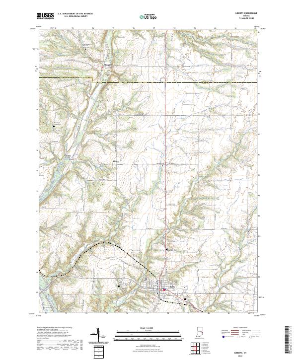 2022 Liberty2022 Print · USGSThe East Fork Whitewater River valley in Union County was well-established by the early 2020s. Genealogists can trace family lines across numerous burial sites like Richland Cem, Patterson Cem, and the Locust Grove Methodist Episcopal Cem.
End of results
Showing maps 1-12 of 12
Top cities near Liberty
- Richmond historical maps
- Oxford historical maps
- Connersville historical maps
- Reily Township historical maps
- Centerville historical maps
- Brookville historical maps
See more
Frequently asked questions
- What are the different types of historical maps available for Liberty?
- What is the oldest map of Liberty?
- Where can I purchase historical maps of Liberty for my home or office?
- Where can I download high-res historical maps of Liberty?
- Are there historical topographic maps available for Liberty?
- Is there historical aerial imagery available for Liberty?
- Where are historical maps of Liberty sourced from?