Old Maps of West Dana, Indiana for Metal Detecting
Plan your next treasure hunt with 15 historic maps of West Dana. Find old homesites, ghost towns, trails, and gathering spots that may be lost to time — perfect for identifying promising metal detecting locations.
- Locate forgotten sites: Uncover places like long-lost settlements, abandoned rail lines, or gathering spots.
- Plan better hunts: Use map overlays combined with LiDAR or satellite views to narrow in on historically rich areas.
- Made for detectorists: Thousands of hobbyists use these maps to discover relics, coins, and hidden history.
Use these historic maps to boost your research and find new opportunities beneath the surface of West Dana.
West Dana, IN maps
(15)- 1947 Map of Ridge Farm
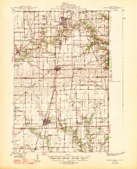 1947 Ridge Farm1947 Print · USGSEastern Illinois and the Indiana border appear here just after the war, showcasing a landscape of rail-connected towns and country school districts. Researchers can trace family history through dozens of landmarks like Scotland Sta, Vermilion Grove, and Harrison Consolidated Sch.3 unique versions available
 - 1953 Map of Indianapolis, 1965 Print
 1953 Indianapolis1965 Print · USGSCentral Indiana and the Illinois borderlands are captured in the mid-sixties, showing the growth of Indianapolis and its industrial rail corridors. Genealogists and historians can trace the development of outlying towns like Zionsville or Beech Grove and find landmarks such as Atterbury AAF and Turkey Run State Park.4 unique versions available
 - 1955 Map of Scottland, 1957 Print
 1955 Scottland1957 Print · USGSThe Illinois-Indiana state line during the mid-fifties shows a landscape of rural rail junctions and early pioneer landmarks. Trace family history and regional industry through the Old Hopewell Cem, the village of Quaker, and the Baltimore and Ohio railroad corridor.
 - 1956 Map of Indianapolis
 1956 Indianapolis1956 Print · USGSCentral Indiana in the mid-fifties is captured during a period of industrial growth and military presence. Genealogists and historians can trace the rail networks of the New York Central or locate regional landmarks like Fort Benjamin Harrison and Camp Atterbury.
 - 1957 Map of Indianapolis
 1957 Indianapolis1957 Print · USGSCentral Indiana in the mid-fifties is captured here as a crossroads of major rail lines and nascent federal highways. Genealogists and historians can trace family-named ridges like Poplar Ridge or locate strategic sites like Camp Atterbury and Speedway.2 unique versions available
 - 1962 Map of Indianapolis
 1962 Indianapolis1962 Print · USGSCentral Indiana and the Illinois borderlands are captured here in the early sixties, showing the region's dense rail networks and growing urban centers. Genealogists and historians can locate family-named landmarks and institutions like Crown Hill Cem, Indiana University, and the Indianapolis Motor Speedway.
 - 1965 Map of Scottland, 1967 Print
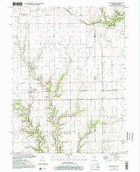
 1965 Scottland1967 Print · USGSThe Illinois-Indiana borderlands in the mid-1960s are defined here by a network of cross-state railways and quiet rural crossroads. Researchers can trace ancestral roots through numerous family and community sites like Old Hopewell Cemetery, Wesley Chapel, and Quaker.2 unique versions available
 - 1986 Map of Paris
 1986 Paris1986 Print · USGSThe Illinois-Indiana borderlands thrive in the mid-1980s as a hub of river-side industry and fertile farmland. Genealogists and historians can trace rail-centered settlements like Chrisman and Metcalf, or locate family sites at the Quaker Cem and Bethel Ch.2 unique versions available
 - 1998 Map of Scottland, 2002 Print
 1998 Scottland2002 Print · USGSThe Illinois-Indiana state line near the end of the millennium reveals a landscape of enduring rural settlements and historic boundaries. Genealogists can locate several remote burial sites and meeting places like Old Hopewell Cem, Cameron Cem, and Wesley Chapel.
 - 2011 Map of Scottland, 2011 Print
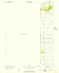
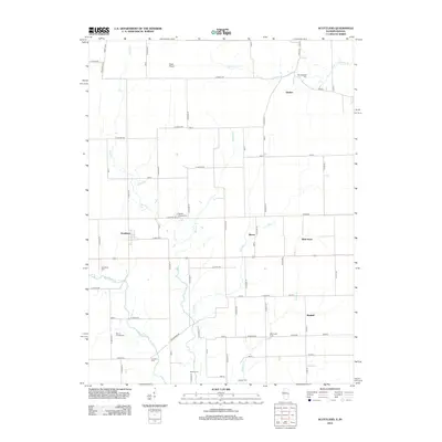
 2011 Scottland2011 Print · USGSCovers West Dana, including Raven, Scottland, and other nearby areas
 - 2012 Map of Scottland, 2012 Print
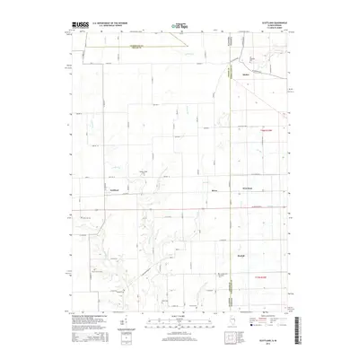
 2012 Scottland2012 Print · USGSCovers West Dana, including Raven, Scottland, and other nearby areas
 - 2015 Map of Scottland, 2015 Print
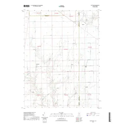
 2015 Scottland2015 Print · USGSCovers West Dana, including Raven, Scottland, and other nearby areas
 - 2018 Map of Scottland, 2018 Print
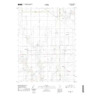
 2018 Scottland2018 Print · USGSCovers West Dana, including Raven, Scottland, and other nearby areas
 - 2021 Map of Scottland, 2021 Print
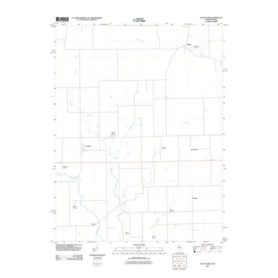
 2021 Scottland2021 Print · USGSCovers West Dana, including Raven, Scottland, and other nearby areas
 - 2024 Map of Scottland, 2024 Print
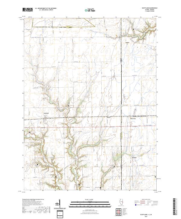 2024 Scottland2024 Print · USGSThe Illinois-Indiana borderlands are captured here in the early twenty-first century, showing a landscape defined by generational farms and quiet crossroads. Researchers can trace family ties at Old Hopewell Cem or locate the rural hubs of Scottland and West Dana.
End of results
Showing maps 1-15 of 15
Top cities near West Dana
- Paris historical maps
- Clinton historical maps
- Georgetown historical maps
- Westville historical maps
- Eugene historical maps
- Highland historical maps
See more
Frequently asked questions
- What are the different types of historical maps available for West Dana?
- What is the oldest map of West Dana?
- Where can I purchase historical maps of West Dana for my home or office?
- Where can I download high-res historical maps of West Dana?
- Are there historical topographic maps available for West Dana?
- Is there historical aerial imagery available for West Dana?
- Where are historical maps of West Dana sourced from?