Old Maps of Salem, Indiana for Hiking & Exploration
Hike through history with 19 historic maps of Salem. Explore old trails, ghost towns, and forgotten backroads — perfect for outdoor adventurers and local explorers.
- Rediscover forgotten places: Map out old mining camps, roads, and footpaths that no longer exist on modern maps.
- Layer with modern tools: Combine with LiDAR or satellite views to plan hikes through historical terrain.
- Made for exploration: Popular among hikers, overlanders, and local history lovers.
Use these maps to find adventure and explore the hidden past of Salem.
Salem, IN maps
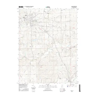
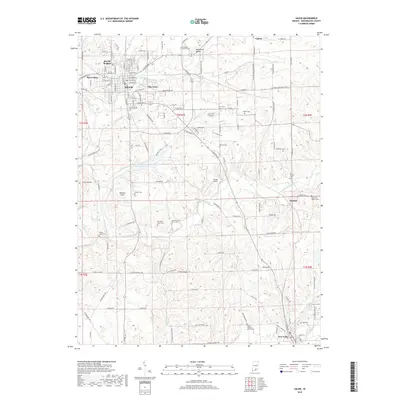
(19)- 1950 Map of Salem
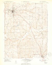 1950 Salem1950 Print · USGSWashington County at mid-century centers on the industrious town of Salem and the winding Blue River valley. Family historians can trace rural roots at Old Blue River Cem, Canton, and the Pierce Consolidated Sch along the Monon rail line.2 unique versions available
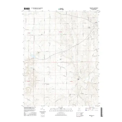
 - 1950 Map of Becks Mill
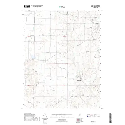
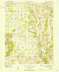 1950 Becks Mill1950 Print · USGSWashington County at the start of the 1950s shows a landscape of small farming townships and vital rail connections. Researchers can locate family roots at Becks Mill, trace the path of the Chicago Indianapolis and Louisville railroad, or find rural landmarks like Mount Tabor Ch and Texas Sch.
 - 1956 Map of Vincennes, 1967 Print
 1956 Vincennes1967 Print · USGSSouthern Indiana and the Illinois borderlands are captured here in the mid-fifties, showing the region's dense network of river towns and rail lines. Researchers can trace historic river crossings along the Wabash River or locate landmarks like Wyandotte Cave and Lincoln State Park.4 unique versions available
 - 1957 Map of Vincennes
 1957 Vincennes1957 Print · USGSSouthwest Indiana and the Illinois borderlands come alive in the late 1950s, a period of heavy rail traffic and expanding state forests. Genealogists and historians can trace the riverfronts and rail lines of Vincennes, New Harmony, and the vast Crane Naval Ammunition Depot.
 - 1958 Map of Vincennes
 1958 Vincennes1958 Print · USGSSouthern Indiana and the Illinois borderlands are captured during a mid-century period of heavy rail traffic and military activity. Researchers can trace the sprawling bounds of the Crane Naval Ammunition Depot or locate historic settlements like New Harmony and French Lick.2 unique versions available
 - 1963 Map of Salem, 1965 Print
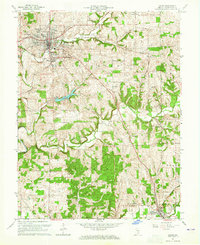 1963 Salem1965 Print · USGSSouthern Indiana's landscape is captured here in the early sixties, showing the vital corridors of the MONON railroad and the Blue River. Researchers can trace local heritage through sites like Crown Hill Cem, College Hill Ch, and the rural Farabee settlement.4 unique versions available
 - 1966 Map of Becks Mill, 1968 Print
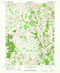 1966 Becks Mill1968 Print · USGSWashington County mid-century life is captured here as the city of Salem expands toward the Salem Speedway. Local historians can trace family locations near Becks Mill, Rosebud, or the many rural churches like Kansas Ch and Mount Tabor Ch.2 unique versions available
 - 1986 Map of Bedford
 1986 Bedford1986 Print · USGSSouthern Indiana in the mid-eighties remains a landscape of deep forests, limestone quarries, and vital rail junctions. Genealogists and historians can trace the rural networks connecting French Lick, the Crane Naval Weapons Support Center, and the historic Becks Mill.
 - 1990 Map of Bedford, 1991 Print
 1990 Bedford1991 Print · USGSSouthern Indiana in the early nineties reveals a complex landscape of military reservations, resort towns, and heavy industry. Genealogists and historians can trace family sites like Old Union Cem and Trinity Springs or locate the limestone quarries surrounding Oolitic.
 - 2010 Map of Salem, 2010 Print
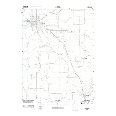 2010 Salem2010 Print · USGSCovers Salem, including New Pekin, Farabee, and other nearby areas
 - 2010 Map of Becks Mill, 2010 Print
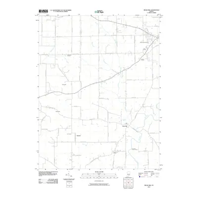 2010 Becks Mill2010 Print · USGSCovers Salem, including Rosebud, Becks Mill, and other nearby areas
 - 2013 Map of Becks Mill, 2013 Print
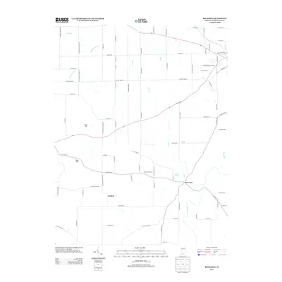 2013 Becks Mill2013 Print · USGSCovers Salem, including Rosebud, Becks Mill, and other nearby areas
 - 2013 Map of Salem, 2013 Print
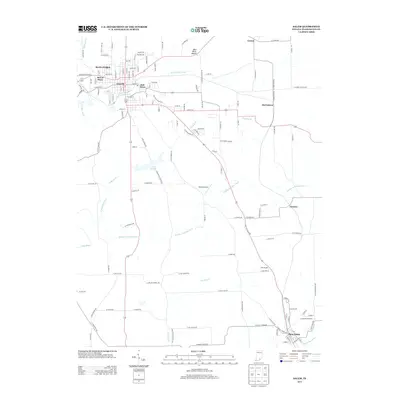 2013 Salem2013 Print · USGSCovers Salem, including New Pekin, Farabee, and other nearby areas
 - 2016 Map of Salem, 2016 Print
 2016 Salem2016 Print · USGSCovers Salem, including New Pekin, Farabee, and other nearby areas
 - 2016 Map of Becks Mill, 2016 Print
 2016 Becks Mill2016 Print · USGSCovers Salem, including Rosebud, Becks Mill, and other nearby areas
 - 2019 Map of Becks Mill, 2019 Print
 2019 Becks Mill2019 Print · USGSCovers Salem, including Rosebud, Becks Mill, and other nearby areas
 - 2019 Map of Salem, 2019 Print
 2019 Salem2019 Print · USGSCovers Salem, including New Pekin, Farabee, and other nearby areas
 - 2022 Map of Becks Mill, 2022 Print
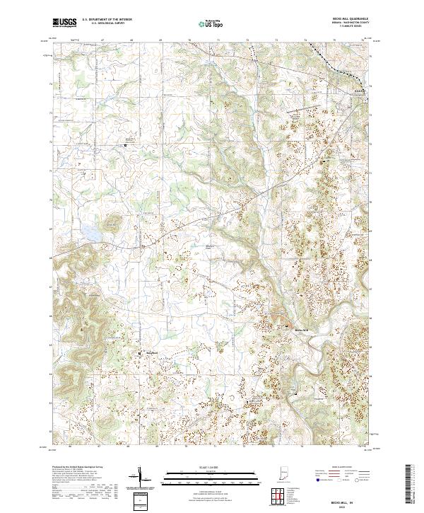 2022 Becks Mill2022 Print · USGSSouthern Indiana's karst landscape and pioneer industry are on full display in this modern survey of Washington County. Researchers can locate numerous historic family plots like Coggswell Cem and follow the water power of the Blue River at Becks Mill.
 - 2022 Map of Salem, 2022 Print
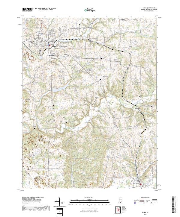 2022 Salem2022 Print · USGSWashington County at the start of the 2020s shows the continued growth of Salem alongside its deep-rooted rural cemeteries and river valleys. Researchers can locate numerous family burial grounds like Tash Cem and Paynter Cem or trace the path of the Blue River.
End of results
Showing maps 1-19 of 19
Top cities near Salem
- Louisville historical maps
- New Pekin historical maps
- Borden historical maps
- Palmyra historical maps
- Campbellsburg historical maps
- Greenville historical maps
See more
Top neighborhoods of Salem
Frequently asked questions
- What are the different types of historical maps available for Salem?
- What is the oldest map of Salem?
- Where can I purchase historical maps of Salem for my home or office?
- Where can I download high-res historical maps of Salem?
- Are there historical topographic maps available for Salem?
- Is there historical aerial imagery available for Salem?
- Where are historical maps of Salem sourced from?