2000s (21st Century) Maps of Richmond, Indiana
Explore 25 historic maps of Richmond from the 2000s (21st Century). These maps offer a rare glimpse into what life looked like during the 2000s — showing old roads, neighborhoods, homes, and landmarks that have changed or disappeared over time.
Whether you're researching your family's past, planning a metal detecting trip, or studying how Richmond's landscape evolved across the 2000s, these high-resolution maps are a powerful tool for exploring the history of this region.
- Focus on a specific era: All maps on this page are from the 2000s, giving you a focused view of this time period.
- See what’s changed: Compare century-old streets, trails, and buildings to today's modern landscape using overlays and satellite layers.
- Research with precision: Use these maps for genealogy, historical research, land use analysis, or educational projects.
- View, download, or print: Maps are fully viewable online in high resolution, and can be downloaded or printed for your own records.
Start exploring Richmond's history through authentic maps from the 2000s. This is your window into the past.
Richmond, IN maps
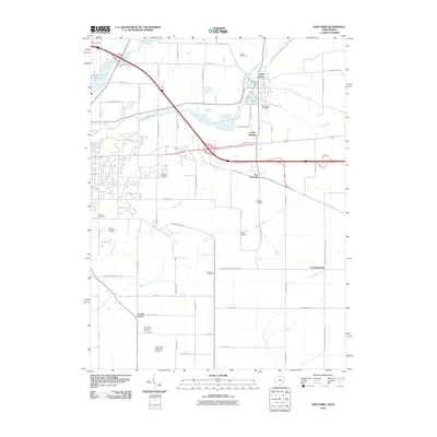
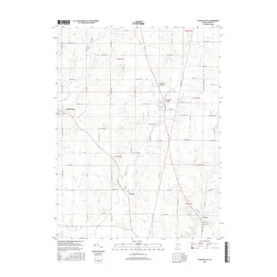
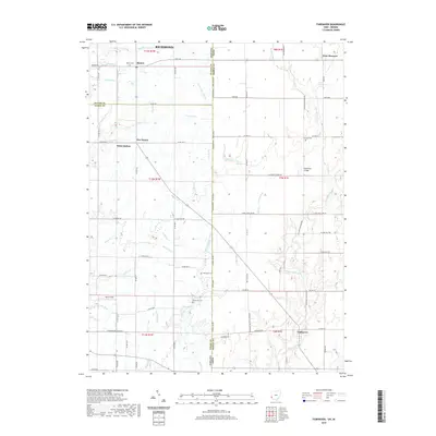
(25)- 2010 Map of Fountain City, 2010 Print
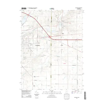
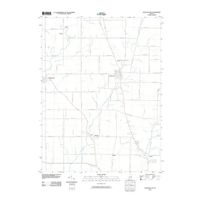 2010 Fountain City2010 Print · USGSCovers Richmond, including Webster, Fountain City, and other nearby areas
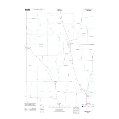
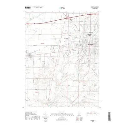
 - 2010 Map of Richmond, 2010 Print
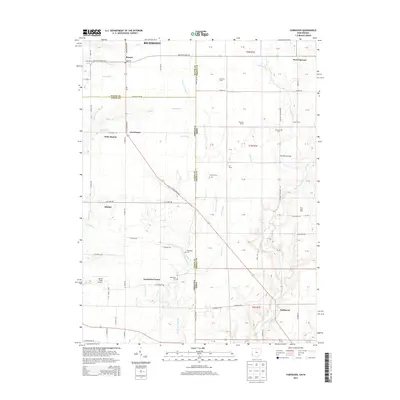
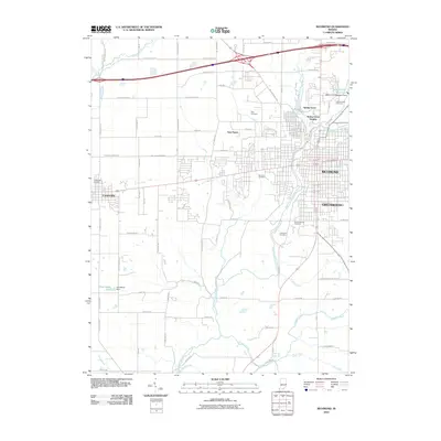 2010 Richmond2010 Print · USGSCovers Richmond, including Centerville, Spring Grove, and other nearby areas
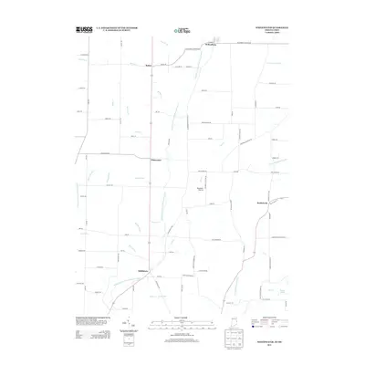
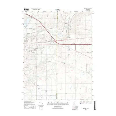
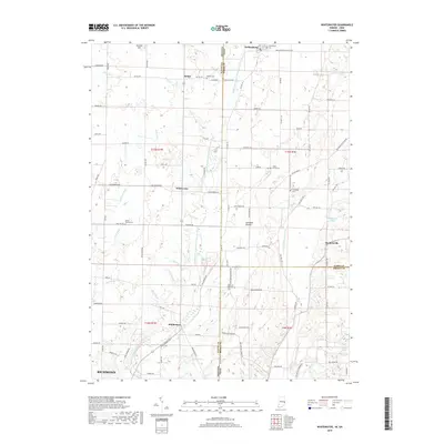
 - 2010 Map of Whitewater, 2010 Print
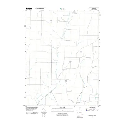 2010 Whitewater2010 Print · USGSCovers Richmond, including Hollansburg, Whitewater, and other nearby areas
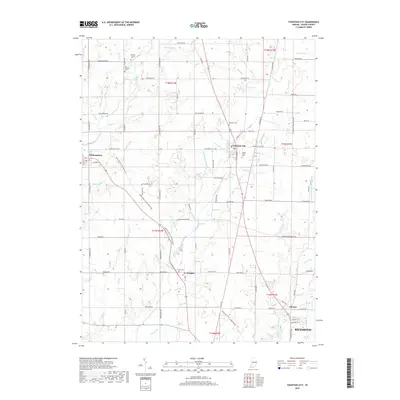
 - 2010 Map of Fairhaven, 2010 Print
 2010 Fairhaven2010 Print · USGSCovers Richmond, including Boston, West Florence, and other nearby areas
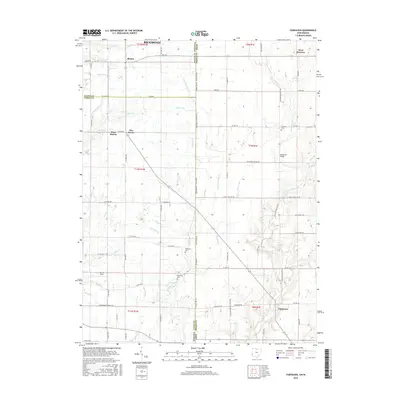
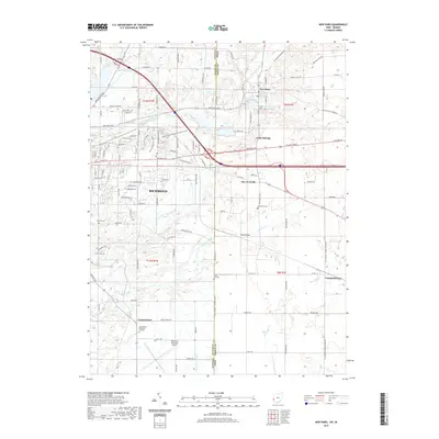
 - 2010 Map of New Paris, 2010 Print
 2010 New Paris2010 Print · USGSCovers Richmond, including New Paris, New Westville, and other nearby areas
 - 2013 Map of Fountain City, 2013 Print
 2013 Fountain City2013 Print · USGSCovers Richmond, including Webster, Fountain City, and other nearby areas
 - 2013 Map of Whitewater, 2013 Print
 2013 Whitewater2013 Print · USGSCovers Richmond, including Hollansburg, Whitewater, and other nearby areas
 - 2013 Map of Richmond, 2013 Print
 2013 Richmond2013 Print · USGSCovers Richmond, including Centerville, Spring Grove, and other nearby areas
 - 2013 Map of Fairhaven, 2013 Print
 2013 Fairhaven2013 Print · USGSCovers Richmond, including Boston, West Florence, and other nearby areas
 - 2013 Map of New Paris, 2013 Print
 2013 New Paris2013 Print · USGSCovers Richmond, including New Paris, New Westville, and other nearby areas
 - 2016 Map of Whitewater, 2016 Print
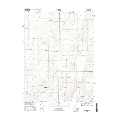 2016 Whitewater2016 Print · USGSCovers Richmond, including Hollansburg, Whitewater, and other nearby areas
 - 2016 Map of Richmond, 2016 Print
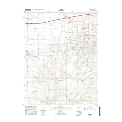 2016 Richmond2016 Print · USGSCovers Richmond, including Centerville, Spring Grove, and other nearby areas
 - 2016 Map of Fountain City, 2016 Print
 2016 Fountain City2016 Print · USGSCovers Richmond, including Webster, Fountain City, and other nearby areas
 - 2016 Map of Fairhaven, 2016 Print
 2016 Fairhaven2016 Print · USGSCovers Richmond, including Boston, West Florence, and other nearby areas
 - 2016 Map of New Paris, 2016 Print
 2016 New Paris2016 Print · USGSCovers Richmond, including New Paris, New Westville, and other nearby areas
 - 2019 Map of Fountain City, 2019 Print
 2019 Fountain City2019 Print · USGSCovers Richmond, including Webster, Fountain City, and other nearby areas
 - 2019 Map of Whitewater, 2019 Print
 2019 Whitewater2019 Print · USGSCovers Richmond, including Hollansburg, Whitewater, and other nearby areas
 - 2019 Map of Richmond, 2019 Print
 2019 Richmond2019 Print · USGSCovers Richmond, including Centerville, Spring Grove, and other nearby areas
 - 2019 Map of New Paris, 2019 Print
 2019 New Paris2019 Print · USGSCovers Richmond, including New Paris, New Westville, and other nearby areas
 - 2019 Map of Fairhaven, 2019 Print
 2019 Fairhaven2019 Print · USGSCovers Richmond, including Boston, West Florence, and other nearby areas
 - 2022 Map of Fountain City, 2022 Print
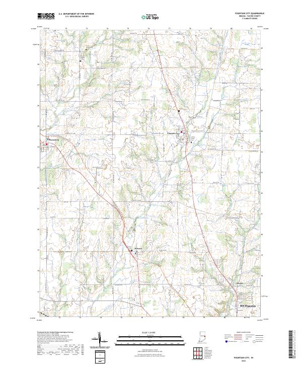 2022 Fountain City2022 Print · USGSWayne County settlement patterns and early rural cemeteries are preserved in this 2020s record of the Fountain City area. Researchers can trace family sites near Williamsburg, find the Willow Grove Cem, and follow the Cardinal Greenway Trl through Webster.
 - 2022 Map of Whitewater, 2022 Print
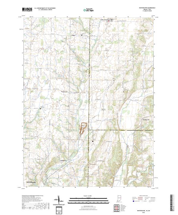 2022 Whitewater2022 Print · USGSSettlement and agriculture define this Indiana-Ohio borderland in the early twenty-first century. Genealogists can locate family landmarks like Mount Vernon Cem and Pleasant Hill Cem, or trace the paths of Whitewater and Middleboro.
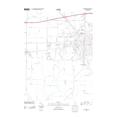
 - 2022 Map of Richmond, 2022 Print
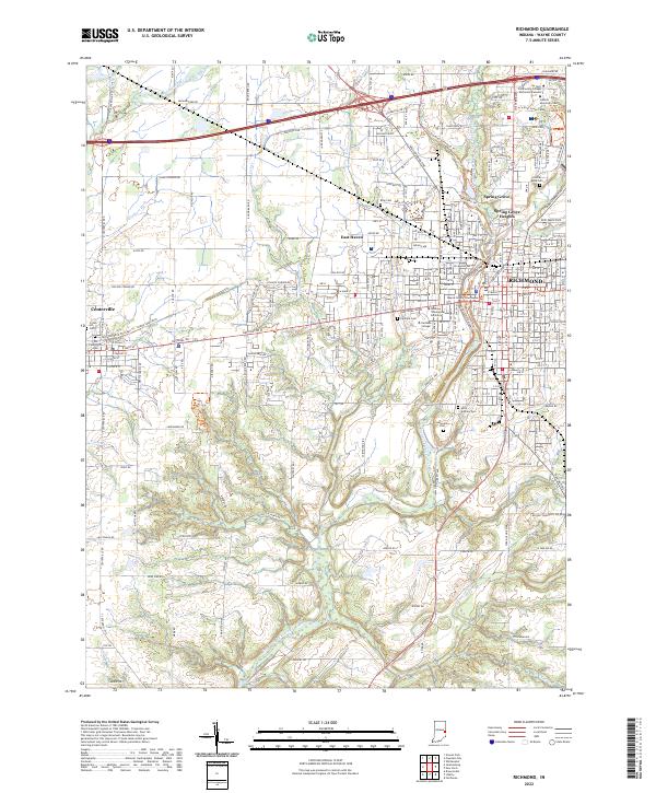 2022 Richmond2022 Print · USGSRichmond and Centerville appear here in the early 2020s, showcasing a landscape of established collegiate campuses and historic county seats. Genealogists can locate family sites near Old Centerville Cem, King Cem, and the Wayne County Courthouse.
 - 2023 Map of Fairhaven, 2023 Print
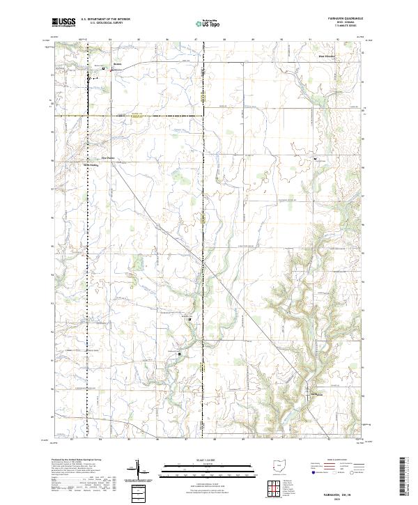 2023 Fairhaven2023 Print · USGSThe rural borderlands of Ohio and Indiana are captured here in a contemporary survey of the landscape around Fairhaven. Researchers can locate historic rural burial sites like Pentecost Cemetery and family-named landmarks including Norris Field.
 - 2023 Map of New Paris, 2023 Print
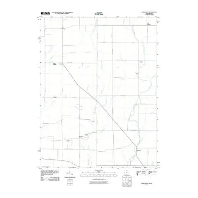
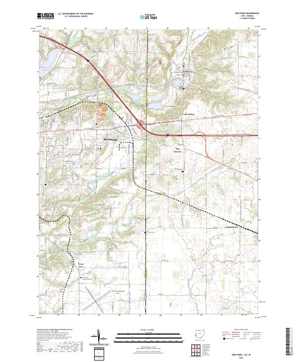 2023 New Paris2023 Print · USGSThe Indiana-Ohio state line serves as the centerpiece for this study of the borderlands between Richmond and New Paris in the early 2020s. Researchers can trace ancestral sites and rural landmarks like Ridge Cem, Campbellstown, and the Richmond Municipal Airport.
End of results
Showing maps 1-25 of 25
Top cities near Richmond
- Connersville historical maps
- Eaton historical maps
- Centerville historical maps
- Camden historical maps
- Liberty historical maps
- New Paris historical maps
See more
Top neighborhoods of Richmond
Frequently asked questions
- What are the different types of historical maps available for Richmond?
- What is the oldest map of Richmond?
- Where can I purchase historical maps of Richmond for my home or office?
- Where can I download high-res historical maps of Richmond?
- Are there historical topographic maps available for Richmond?
- Is there historical aerial imagery available for Richmond?
- Where are historical maps of Richmond sourced from?