Old Maps of Monticello, Indiana for Academic Research
Study the evolution of Monticello with 22 high-resolution historic maps. Whether you're teaching, researching, or modeling changes in land use, these maps provide essential visual documentation of urban, environmental, and geographic change.
- Analyze long-term change: Track patterns in development, transportation, and natural features.
- Ideal for environmental or urban studies: Support academic projects with primary historical map data.
- Use in the classroom or lab: Educators and researchers rely on these maps to bring historical context to life.
These maps are a powerful tool for teaching, research, and visualizing how Monticello has changed over the decades.
Monticello, IN maps
(22)- 1953 Map of Danville, 1965 Print
 1953 Danville1965 Print · USGSIndiana and Illinois crossroads come to life in this mid-century survey as the interstate era begins to reshape the river-and-rail landscape. Genealogists and collectors can trace the historic paths of the Nickel Plate railroad or locate smaller communities like Veedersburg, Goodland, and Bismarck.3 unique versions available
 - 1955 Map of Danville
 1955 Danville1955 Print · USGSThe Indiana-Illinois borderlands during the mid-fifties reveal a landscape of thriving rail hubs and university towns. Researchers can trace the legacy of Purdue University, the Tippecanoe Battlefield, and the path of the Pennsylvania RR.
 - 1956 Map of Danville
 1956 Danville1956 Print · USGSMid-century Indiana and Illinois are captured here as the river-and-rail economy evolved into the modern highway era. Researchers can trace ancestral roots and old transport lines through Logansport, Battle Ground, and the dams at Lake Shafer.
 - 1962 Map of Monticello South, 1963 Print
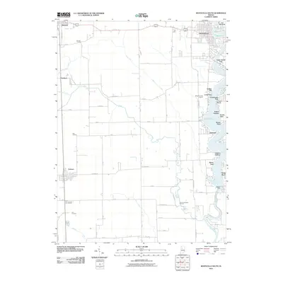
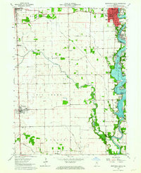 1962 Monticello South1963 Print · USGSWhite County enters a new era of lakeside living in the early sixties as development spreads along the shores of Lake Freeman. Researchers can trace the civic growth of Monticello or locate family roots at Bunnell Cem and the small whistle-stop of Smithson.2 unique versions available
 - 1962 Map of Monticello North, 1964 Print
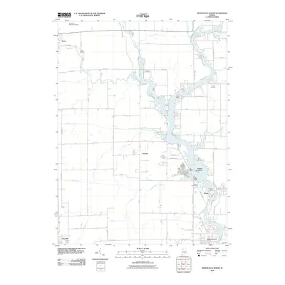
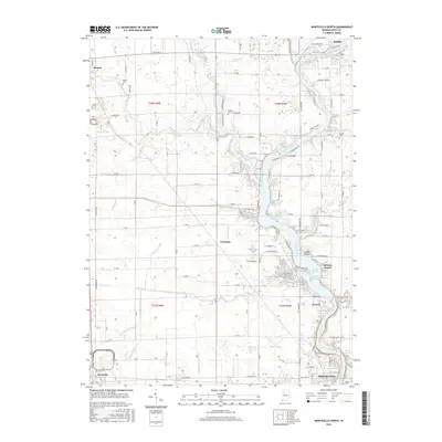
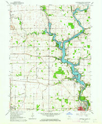 1962 Monticello North1964 Print · USGSWhite County was a hub of river activity and rail transport in the early sixties as leisure life expanded along the water. Genealogists can trace family roots through rural landmarks like Wilson Cem, Bedford Ch, and the vanished Twp Sch.2 unique versions available
 - 1962 Map of Yeoman, 1964 Print
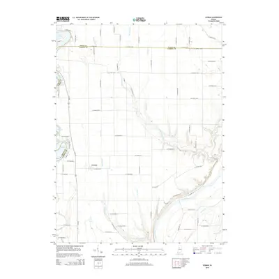
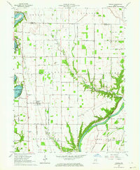 1962 Yeoman1964 Print · USGSCarroll and White counties come alive in the early sixties as recreational lakeside communities began to grow alongside traditional rail-towns. Genealogists and local historians can trace family roots at Schock Cem and River View Cem or follow the historic Monon Railroad through Yeoman.
 - 1985 Map of Logansport
 1985 Logansport1985 Print · USGSNorth-central Indiana in the mid-eighties shows a landscape of river-fed towns and significant military aviation hubs. Genealogists and local historians can trace the rail corridors of the Conrail or locate sites like River View Cem and the crossroads at Twelve Mile.2 unique versions available
 - 2010 Map of Yeoman, 2010 Print
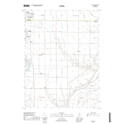
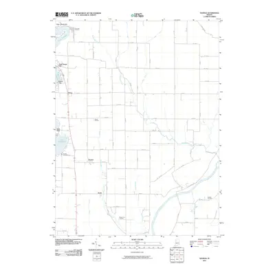 2010 Yeoman2010 Print · USGSCovers Monticello, including Yeoman, Patton, and other nearby areas
 - 2010 Map of Monticello South, 2010 Print
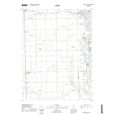
 2010 Monticello South2010 Print · USGSCovers Monticello, including Reynolds, Chalmers, and other nearby areas
 - 2010 Map of Monticello North, 2010 Print
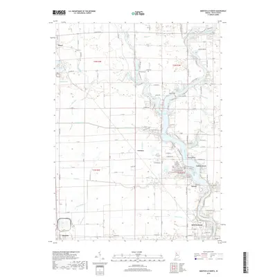
 2010 Monticello North2010 Print · USGSCovers Monticello, including Monon, Reynolds, and other nearby areas
 - 2013 Map of Monticello North, 2013 Print
 2013 Monticello North2013 Print · USGSCovers Monticello, including Monon, Reynolds, and other nearby areas
 - 2013 Map of Monticello South, 2013 Print
 2013 Monticello South2013 Print · USGSCovers Monticello, including Reynolds, Chalmers, and other nearby areas
 - 2014 Map of Yeoman, 2014 Print
 2014 Yeoman2014 Print · USGSCovers Monticello, including Yeoman, Patton, and other nearby areas
 - 2016 Map of Monticello South, 2016 Print
 2016 Monticello South2016 Print · USGSCovers Monticello, including Reynolds, Chalmers, and other nearby areas
 - 2016 Map of Monticello North, 2016 Print
 2016 Monticello North2016 Print · USGSCovers Monticello, including Monon, Reynolds, and other nearby areas
 - 2016 Map of Yeoman, 2016 Print
 2016 Yeoman2016 Print · USGSCovers Monticello, including Yeoman, Patton, and other nearby areas
 - 2019 Map of Monticello North, 2019 Print
 2019 Monticello North2019 Print · USGSCovers Monticello, including Monon, Reynolds, and other nearby areas
 - 2019 Map of Monticello South, 2019 Print
 2019 Monticello South2019 Print · USGSCovers Monticello, including Reynolds, Chalmers, and other nearby areas
 - 2019 Map of Yeoman, 2019 Print
 2019 Yeoman2019 Print · USGSCovers Monticello, including Yeoman, Patton, and other nearby areas
 - 2022 Map of Monticello North, 2022 Print
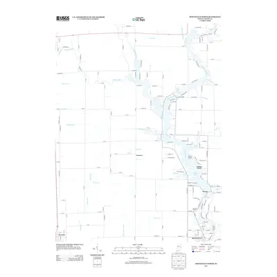
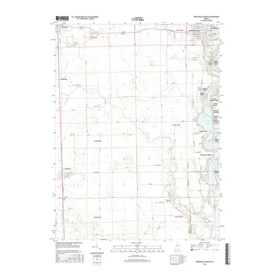
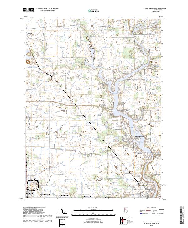 2022 Monticello North2022 Print · USGSThe Tippecanoe River valley and Lake Shafer shoreline come to life in this detailed survey of White County. Researchers can trace family history through local burial grounds like Wilson Cem or explore the riverside growth of Indiana Beach and Norway.
 - 2022 Map of Monticello South, 2022 Print
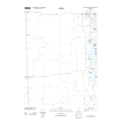
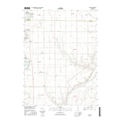
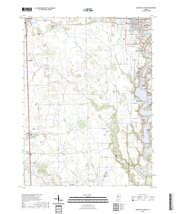 2022 Monticello South2022 Print · USGSWhite County in the early 2020s shows a landscape split between the recreational shores of Lake Freeman and expansive agricultural plains. Researchers can locate numerous family and community burial sites like High Cem or Carr Cem, alongside rural landmarks like Smithson and Roth Park.
 - 2023 Map of Yeoman, 2023 Print
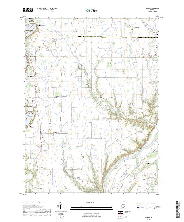 2023 Yeoman2023 Print · USGSThe borderlands of Carroll and White Counties are captured here in the early twenty-first century, showing the developed shoreline of Lake Freeman. Genealogists can locate several local burial sites like Riverview Cem and Pleasant Run Cem near the Wabash River.
End of results
Showing maps 1-22 of 22
Top cities near Monticello
- Delphi historical maps
- Monon historical maps
- Brookston historical maps
- Camden historical maps
- Reynolds historical maps
- Chalmers historical maps
See more
Frequently asked questions
- What are the different types of historical maps available for Monticello?
- What is the oldest map of Monticello?
- Where can I purchase historical maps of Monticello for my home or office?
- Where can I download high-res historical maps of Monticello?
- Are there historical topographic maps available for Monticello?
- Is there historical aerial imagery available for Monticello?
- Where are historical maps of Monticello sourced from?