2000s (21st Century) Maps of Reynolds, Indiana
Explore 20 historic maps of Reynolds from the 2000s (21st Century). These maps offer a rare glimpse into what life looked like during the 2000s — showing old roads, neighborhoods, homes, and landmarks that have changed or disappeared over time.
Whether you're researching your family's past, planning a metal detecting trip, or studying how Reynolds's landscape evolved across the 2000s, these high-resolution maps are a powerful tool for exploring the history of this region.
- Focus on a specific era: All maps on this page are from the 2000s, giving you a focused view of this time period.
- See what’s changed: Compare century-old streets, trails, and buildings to today's modern landscape using overlays and satellite layers.
- Research with precision: Use these maps for genealogy, historical research, land use analysis, or educational projects.
- View, download, or print: Maps are fully viewable online in high resolution, and can be downloaded or printed for your own records.
Start exploring Reynolds's history through authentic maps from the 2000s. This is your window into the past.
Reynolds, IN maps
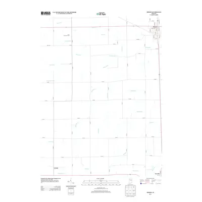
(20)- 2010 Map of Monon, 2010 Print
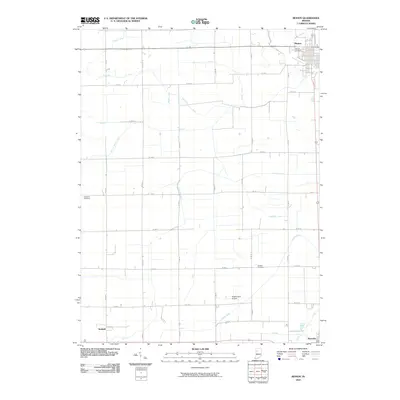 2010 Monon2010 Print · USGSCovers Reynolds, including Monon, Seafield, and other nearby areas
 - 2010 Map of Brookston NW, 2010 Print
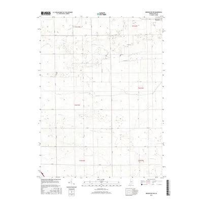
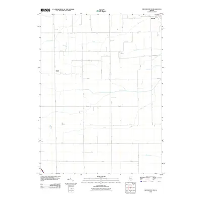 2010 Brookston NW2010 Print · USGSCovers Reynolds, including White County, United States, and other nearby areas
 - 2010 Map of Monticello South, 2010 Print
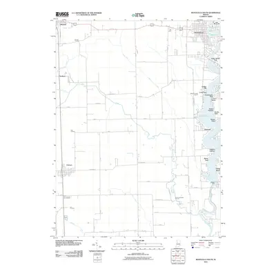 2010 Monticello South2010 Print · USGSCovers Reynolds, including Monticello, Chalmers, and other nearby areas
 - 2010 Map of Monticello North, 2010 Print
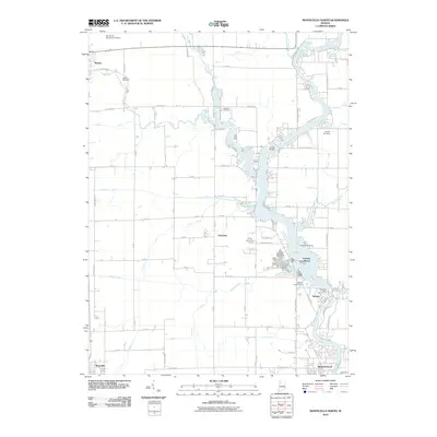 2010 Monticello North2010 Print · USGSCovers Reynolds, including Monticello, Monon, and other nearby areas
 - 2013 Map of Monon, 2013 Print
 2013 Monon2013 Print · USGSCovers Reynolds, including Monon, Seafield, and other nearby areas
 - 2013 Map of Brookston NW, 2013 Print
 2013 Brookston NW2013 Print · USGSCovers Reynolds, including White County, United States, and other nearby areas
 - 2013 Map of Monticello North, 2013 Print
 2013 Monticello North2013 Print · USGSCovers Reynolds, including Monticello, Monon, and other nearby areas
 - 2013 Map of Monticello South, 2013 Print
 2013 Monticello South2013 Print · USGSCovers Reynolds, including Monticello, Chalmers, and other nearby areas
 - 2016 Map of Brookston NW, 2016 Print
 2016 Brookston NW2016 Print · USGSCovers Reynolds, including White County, United States, and other nearby areas
 - 2016 Map of Monticello South, 2016 Print
 2016 Monticello South2016 Print · USGSCovers Reynolds, including Monticello, Chalmers, and other nearby areas
 - 2016 Map of Monon, 2016 Print
 2016 Monon2016 Print · USGSCovers Reynolds, including Monon, Seafield, and other nearby areas
 - 2016 Map of Monticello North, 2016 Print
 2016 Monticello North2016 Print · USGSCovers Reynolds, including Monticello, Monon, and other nearby areas
 - 2019 Map of Monon, 2019 Print
 2019 Monon2019 Print · USGSCovers Reynolds, including Monon, Seafield, and other nearby areas
 - 2019 Map of Monticello North, 2019 Print
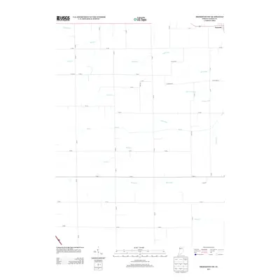
 2019 Monticello North2019 Print · USGSCovers Reynolds, including Monticello, Monon, and other nearby areas
 - 2019 Map of Brookston NW, 2019 Print
 2019 Brookston NW2019 Print · USGSCovers Reynolds, including White County, United States, and other nearby areas
 - 2019 Map of Monticello South, 2019 Print
 2019 Monticello South2019 Print · USGSCovers Reynolds, including Monticello, Chalmers, and other nearby areas
 - 2022 Map of Monon, 2022 Print
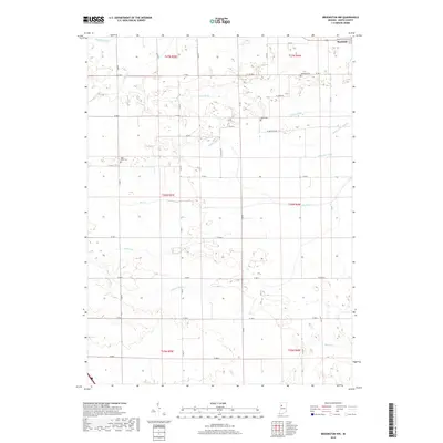
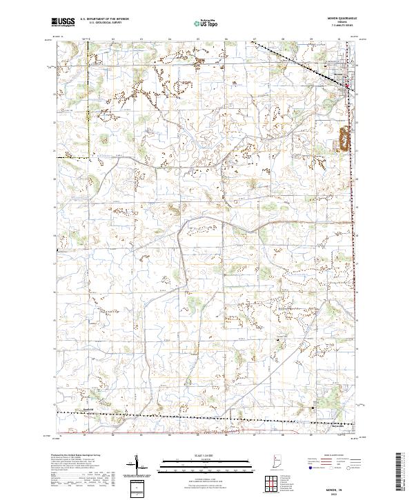 2022 Monon2022 Print · USGSMonon and the surrounding agricultural lands of White County are shown here in the early 2020s, dominated by an extensive drainage network. Researchers can trace rural lineages through sites like Palestine Cemetery, Swisher Cemetery, and the rail-side settlement of Seafield.
 - 2022 Map of Brookston NW, 2022 Print
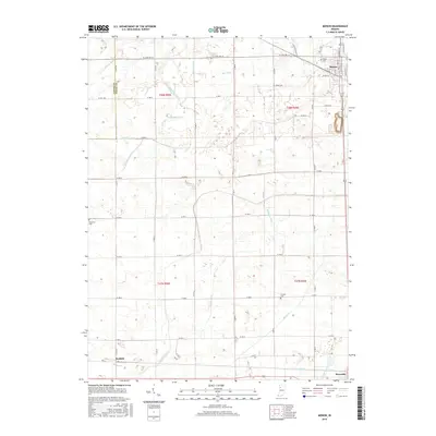
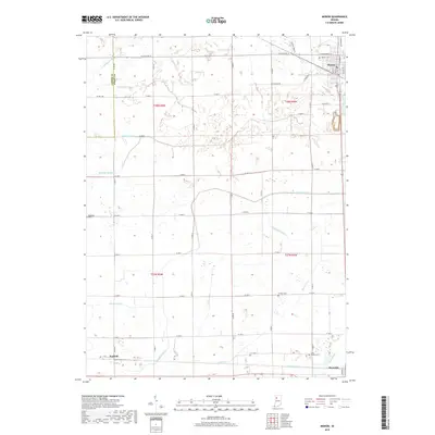
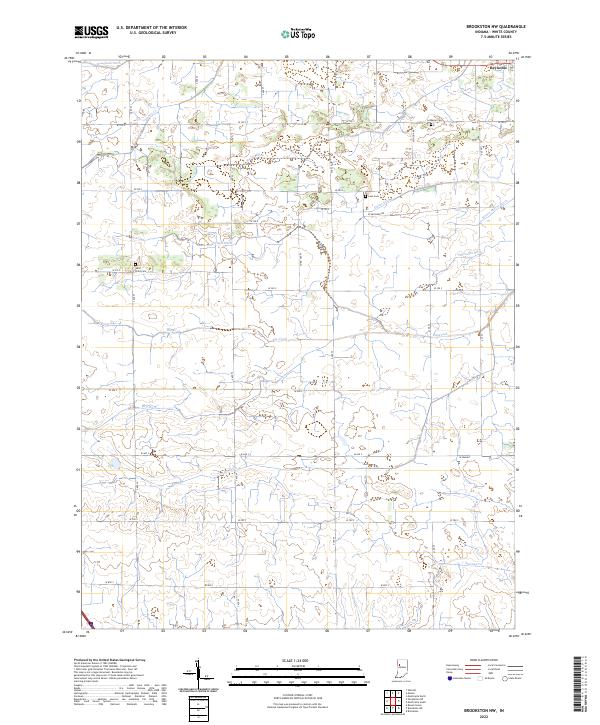 2022 Brookston NW2022 Print · USGSAgricultural patterns in White County are shown in detail as they appeared in the early 2020s, centered around the community of Reynolds. Genealogists and local historians can locate rural burial sites such as West Point Cem, Lane Cem, and Lutheran Cem among the many drainage ditches that define the prairie landscape.
 - 2022 Map of Monticello North, 2022 Print
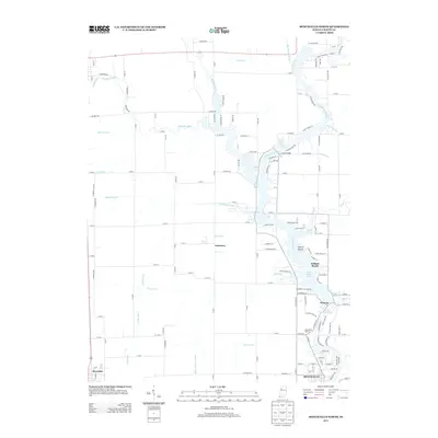
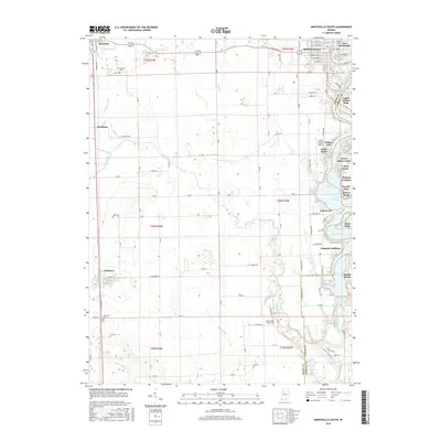
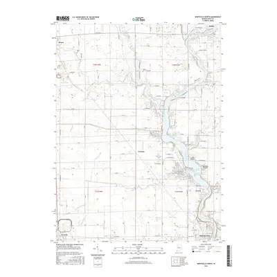
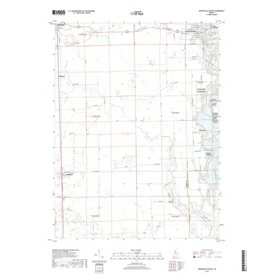
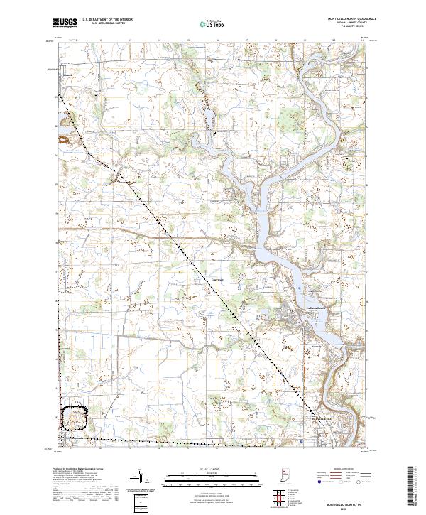 2022 Monticello North2022 Print · USGSThe Tippecanoe River valley and Lake Shafer shoreline come to life in this detailed survey of White County. Researchers can trace family history through local burial grounds like Wilson Cem or explore the riverside growth of Indiana Beach and Norway.
 - 2022 Map of Monticello South, 2022 Print
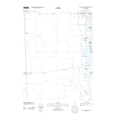
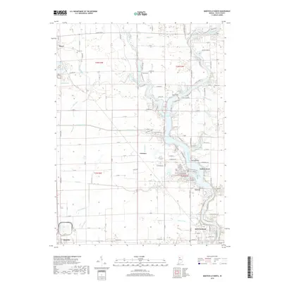
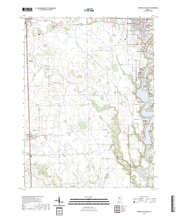 2022 Monticello South2022 Print · USGSWhite County in the early 2020s shows a landscape split between the recreational shores of Lake Freeman and expansive agricultural plains. Researchers can locate numerous family and community burial sites like High Cem or Carr Cem, alongside rural landmarks like Smithson and Roth Park.
End of results
Showing maps 1-20 of 20
Top cities near Reynolds
- Monticello historical maps
- Delphi historical maps
- Monon historical maps
- Brookston historical maps
- Wolcott historical maps
- Chalmers historical maps
See more
Frequently asked questions
- What are the different types of historical maps available for Reynolds?
- What is the oldest map of Reynolds?
- Where can I purchase historical maps of Reynolds for my home or office?
- Where can I download high-res historical maps of Reynolds?
- Are there historical topographic maps available for Reynolds?
- Is there historical aerial imagery available for Reynolds?
- Where are historical maps of Reynolds sourced from?