2010s Maps of Whitley County, Indiana
Explore 48 historic maps of Whitley County from the 2010s. These maps offer a rare glimpse into what life looked like during the 2010s — showing old roads, neighborhoods, homes, and landmarks that have changed or disappeared over time.
Whether you're researching your family's past, planning a metal detecting trip, or studying how Whitley County's landscape evolved across the 2010s, these high-resolution maps are a powerful tool for exploring the history of this region.
- Focus on a specific era: All maps on this page are from the 2010s, giving you a focused view of this time period.
- See what’s changed: Compare century-old streets, trails, and buildings to today's modern landscape using overlays and satellite layers.
- Research with precision: Use these maps for genealogy, historical research, land use analysis, or educational projects.
- View, download, or print: Maps are fully viewable online in high resolution, and can be downloaded or printed for your own records.
Start exploring Whitley County's history through authentic maps from the 2010s. This is your window into the past.
Whitley County, IN maps
(48)- 2010 Map of Churubusco, 2010 Print
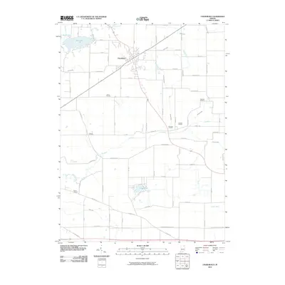 2010 Churubusco2010 Print · USGSThe town of Churubusco and its surrounding Indiana countryside are shown here at the turn of the millennium. Genealogists can trace family footprints across several sites, including Riverview Cemetery, Wigent Cemetery, and the banks of the Eel River.
 - 2010 Map of Arcola, 2010 Print
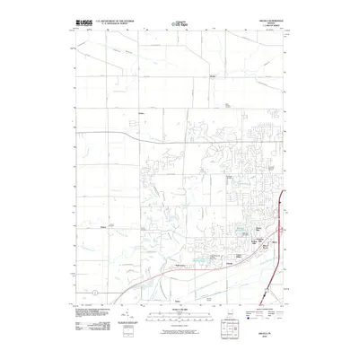 2010 Arcola2010 Print · USGSAllen County’s western corridor is captured in the early 21st century as suburban growth meets rural farmland. Genealogists can locate family burial plots at Saint Patricks Cemetery or Bayliss Cemetery, while following the path of Aboite Creek through Dunfee.
 - 2010 Map of Lorane, 2010 Print
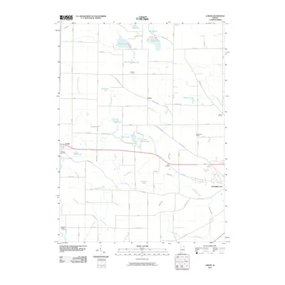 2010 Lorane2010 Print · USGSWhitley County at the start of the 2010s reveals a patchwork of family-owned farms and glacial lakes between Larwill and Columbia City. Genealogists and local historians can trace burial sites like Bethel Cemetery and Stough Cemetery or locate the small Motherwell Airport among the area's many drainage ditches.
 - 2010 Map of Ege, 2010 Print
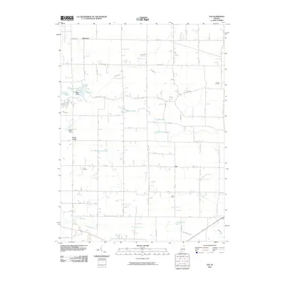 2010 Ege2010 Print · USGSNortheast Indiana at the dawn of the 21st century remains a landscape of quiet crossroads and historic farmsteads. Genealogists and local historians can trace family roots through Hooper Cemetery or explore the rural hubs of Green Center and Ege.
 - 2010 Map of Merriam, 2010 Print
 2010 Merriam2010 Print · USGSThe Noble County lake country is shown here in the early twenty-first century, featuring a dense network of glacial basins and small rural settlements. Researchers can locate Merriam Cemetery, the Indiana University Biological Station, and the small airfield at Stangland Airport.
 - 2010 Map of Ormas, 2010 Print
 2010 Ormas2010 Print · USGSNoble County's lake country remains a quiet network of small settlements and glacial waters in the early 21st century. Genealogists and local historians can trace family plots at Thorn Cemetery or Scott Cemetery and explore the surroundings of Ormas and Washington Center.
 - 2010 Map of Pierceton, 2010 Print
 2010 Pierceton2010 Print · USGSThe town of Pierceton and nearby Larwill are shown at the turn of the millennium amidst a landscape of glacial lakes and managed farmland. Genealogists can locate family-named landmarks and resting places like Hillcrest Cemetery and Richland Center Cemetery.
 - 2010 Map of North Webster, 2010 Print
 2010 North Webster2010 Print · USGSKosciusko County’s dense network of glacial lakes is captured here in the early twenty-first century as these waterfront communities continued to mature. Researchers can trace property lines and legacy sites near Indian Village, McClintic Cemetery, and the shores of Webster Lake.
 - 2010 Map of Laud, 2010 Print
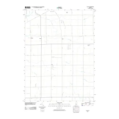 2010 Laud2010 Print · USGSWhitley County at the start of the 2010s remains a landscape of traditional farming anchored by the crossroads of Laud and Peabody. Researchers can trace the development of the rural infrastructure through family landmarks like Oak Grove Cemetery and the drainage patterns of Stony Creek.
 - 2010 Map of South Whitley West, 2010 Print
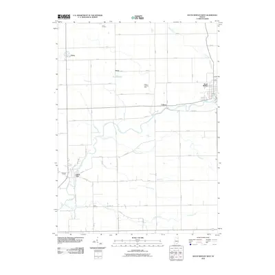 2010 South Whitley West2010 Print · USGSIndiana's rural heartland is captured here in the early twenty-first century, showing the enduring agricultural grid surrounding the Eel River. Researchers can trace family sites near Circle Cemetery or the riverside hamlets of Collamer and Liberty Mills.
 - 2010 Map of Columbia City, 2010 Print
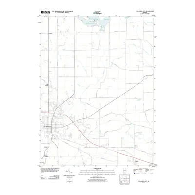 2010 Columbia City2010 Print · USGSWhitley County at the start of the 2010s reveals a landscape defined by the Blue River and the rural crossroads of its small townships. Researchers can trace family history through South Park Cemetery or explore settlements at Coesse, Tri-Lakes, and Walnut Corners.
 - 2010 Map of South Whitley East, 2010 Print
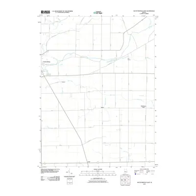 2010 South Whitley East2010 Print · USGSSouth Whitley and its surrounding rural townships are documented here during the early twenty-first century. Genealogists and historians can trace local landmarks like Saint Peters Cemetery, the crossroad at Tunker, and the banks of the Eel River.
 - 2013 Map of Arcola, 2013 Print
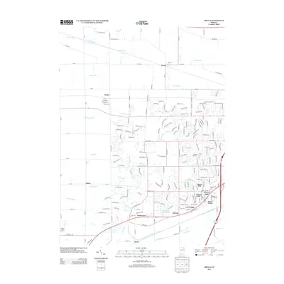 2013 Arcola2013 Print · USGSArcola and its surrounding townships appear here during a period of suburban transition in Allen County. Researchers can trace the development of Liberty Hills and Ellisville or locate landmarks like Gerig's Field Airport and Kekionga Shores Lake.
 - 2013 Map of North Webster, 2013 Print
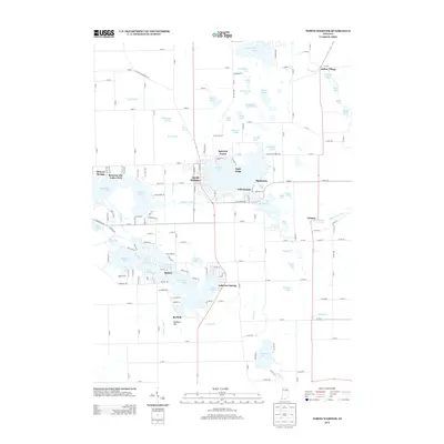 2013 North Webster2013 Print · USGSThe Kosciusko County lake country is captured here in the early 21st century, showing the dense development around Webster Lake and the Tippecanoe River. Genealogists and local historians can trace family locations in North Webster, Indian Village, and the lakeside community of Barbee.
 - 2013 Map of Merriam, 2013 Print
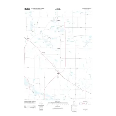 2013 Merriam2013 Print · USGSThe Noble County landscape around the early twenty-first century is a complex mosaic of glacial lakes and agricultural drainages. Genealogists and researchers can trace local family land near Riddle Farms or explore small hubs like Port Mitchell, Merriam, and Burr Oak.
 - 2013 Map of Ege, 2013 Print
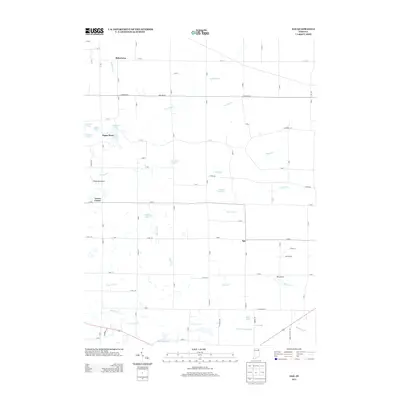 2013 Ege2013 Print · USGSNortheast Indiana's agricultural heartland is documented here in the early twenty-first century, showing a landscape of drainage ditches and small lakes. Genealogists and local historians can trace legacy sites like Bakertown, Ege, and family-named features such as Growcock Br.
 - 2013 Map of Columbia City, 2013 Print
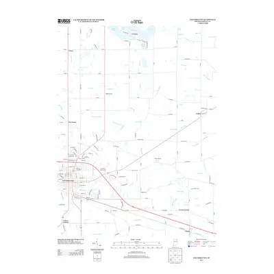 2013 Columbia City2013 Print · USGSWhitley County in the early 21st century shows a landscape defined by its river systems and small-town junctions. Genealogists and local historians can trace the developments of Columbia City, the lakeside community of Tri-Lakes, and the rural crossroads of Coesse and Collins.
 - 2013 Map of Laud, 2013 Print
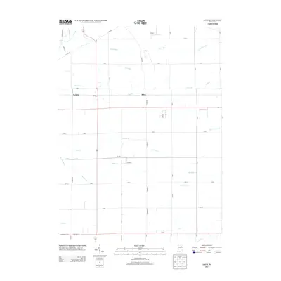 2013 Laud2013 Print · USGSWhitley County at the start of the 2010s shows a landscape defined by its farm-to-market roads and vital drainage networks. Genealogists can trace the rural layout around settlements like Laud or locate family land near Stony Creek and Peabody.
 - 2013 Map of South Whitley West, 2013 Print
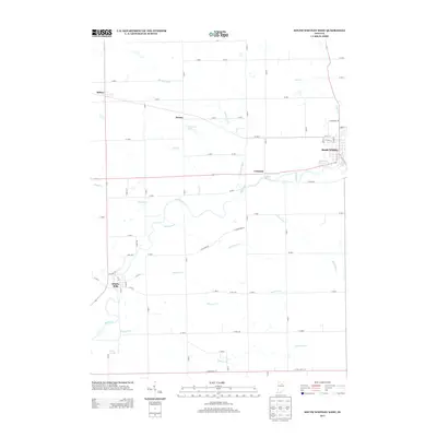 2013 South Whitley West2013 Print · USGSWhitley County's river-driven geography is on full display here in the early twenty-first century. Genealogists and local historians can trace family locations near South Whitley or follow the path of the Eel River past Collamer and Liberty Mills.
 - 2013 Map of Churubusco, 2013 Print
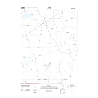 2013 Churubusco2013 Print · USGSWhitley County at the start of the 2010s shows a landscape of established rural settlements and managed waterways. Researchers can trace the layout of Churubusco and Levert or locate family-named landmarks such as Watterson Ditch and Miller Rd.
 - 2013 Map of Pierceton, 2013 Print
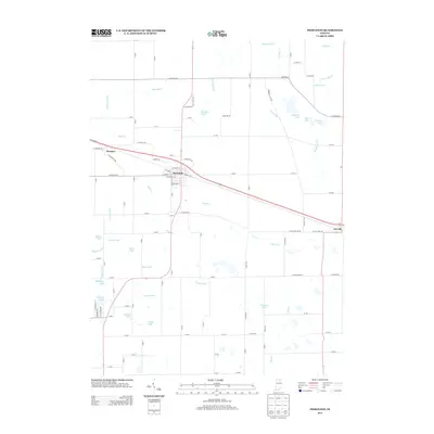 2013 Pierceton2013 Print · USGSKosciusko County agricultural lands and glacial lakes are on full display in this early twenty-first-century survey of the Pierceton area. Genealogists and local researchers can trace the rural road network connecting Wooster and Larwill or locate family sites near Robinson Lake and Compton Lake.
 - 2013 Map of South Whitley East, 2013 Print
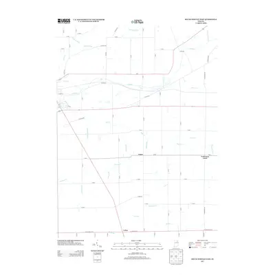 2013 South Whitley East2013 Print · USGSWhitley County's rural landscape is revealed in the early twenty-first century, showing a region defined by agricultural engineering and small hamlets. Trace family roots and land patterns near Tunker, Washington Center, and the waters of Stony Creek.
 - 2013 Map of Lorane, 2013 Print
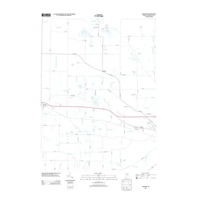 2013 Lorane2013 Print · USGSWhitley County at the start of the 2010s shows a landscape of small settlements and glaciated terrain defined by its water. Researchers can trace the drainage patterns of Maynard Ditch or locate family-named landmarks like Metzger Pond and Plew Airport.
 - 2013 Map of Ormas, 2013 Print
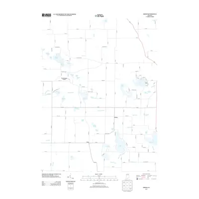 2013 Ormas2013 Print · USGSThe Indiana lake country comes alive in this modern survey of the upper Tippecanoe River watershed. Genealogists and local historians can trace the rural layout around Washington Center and Ormas, or locate family sites near Loon Lake and Knapp Lake.
 - 2016 Map of Ege, 2016 Print
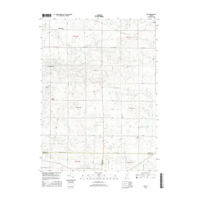 2016 Ege2016 Print · USGSThe tri-county borderlands of Noble, Whitley, and Allen Counties are mapped in detail during the mid-2010s. Local researchers can locate family landmarks like Hooper Cem, trace the upper Blue River, and explore rural hubs like Green Center or Bakertown.
Showing maps 1-25 of 48
Top cities of Whitley County
- Columbia City historical maps
- South Whitley historical maps
- Churubusco historical maps
- Larwill historical maps
Frequently asked questions
- What are the different types of historical maps available for Whitley County?
- What is the oldest map of Whitley County?
- Where can I purchase historical maps of Whitley County for my home or office?
- Where can I download high-res historical maps of Whitley County?
- Are there historical topographic maps available for Whitley County?
- Is there historical aerial imagery available for Whitley County?
- Where are historical maps of Whitley County sourced from?