2020s Maps of Allamakee County, Iowa
Explore 22 historic maps of Allamakee County from the 2020s. These maps offer a rare glimpse into what life looked like during the 2020s — showing old roads, neighborhoods, homes, and landmarks that have changed or disappeared over time.
Whether you're researching your family's past, planning a metal detecting trip, or studying how Allamakee County's landscape evolved across the 2020s, these high-resolution maps are a powerful tool for exploring the history of this region.
- Focus on a specific era: All maps on this page are from the 2020s, giving you a focused view of this time period.
- See what’s changed: Compare century-old streets, trails, and buildings to today's modern landscape using overlays and satellite layers.
- Research with precision: Use these maps for genealogy, historical research, land use analysis, or educational projects.
- View, download, or print: Maps are fully viewable online in high resolution, and can be downloaded or printed for your own records.
Start exploring Allamakee County's history through authentic maps from the 2020s. This is your window into the past.
Allamakee County, IA maps
(22)- 2022 Map of Genoa, 2022 Print
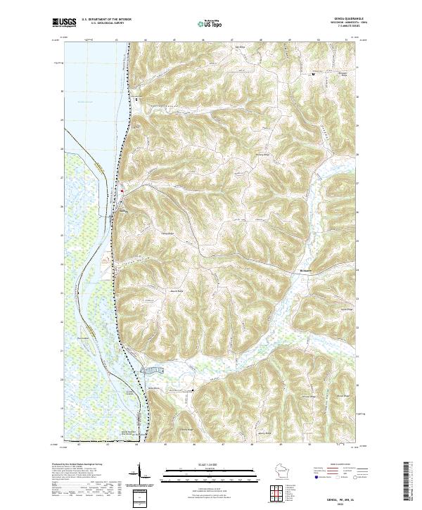 2022 Genoa2022 Print · USGSWisconsin's river bluffs come into sharp focus in this contemporary survey of the Vernon County shoreline. Researchers can trace family history through sites like Riverside Cemetery and German Cemetery or explore the rugged geography of Italian Hollow and Deadman Hollow.
 - 2022 Map of Eastman, 2022 Print
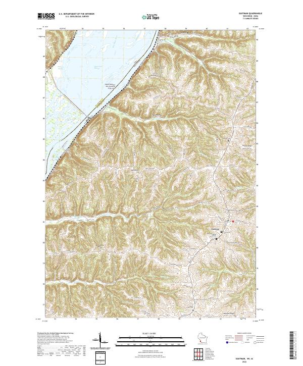 2022 Eastman2022 Print · USGSCrawford County's high ridges and river bottomlands are captured here in the early twenty-first century as the landscape transitions from the Mississippi River to the upland plains. Researchers can locate family landmarks such as the Saint Wenceslaus Catholic Church-Cem, Campbell Cem, and the riverfront village of Lynxville.
 - 2022 Map of Prairie du Chien, 2022 Print
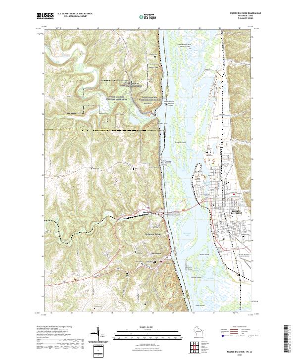 2022 Prairie du Chien2022 Print · USGSThe Upper Mississippi River valley comes alive in this 2022 survey of the historic river crossing between Wisconsin and Iowa. Trace the evolution of early river life through landmarks like Fort Crawford, McGregor, and the ancient Effigy Mounds National Monument.
 - 2022 Map of De Soto, 2022 Print
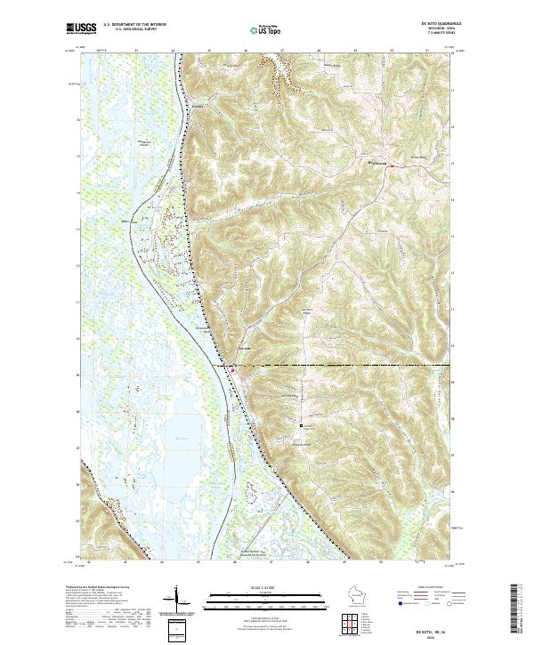 2022 De Soto2022 Print · USGSThe riverfront and high ridges of the Upper Mississippi Valley are shown here in the 2020s, highlighting the complex water networks and upland settlements. Trace local family history at Lawrence Ridge Cem or explore the river terrain near De Soto and Victory.
 - 2022 Map of Ferryville, 2022 Print
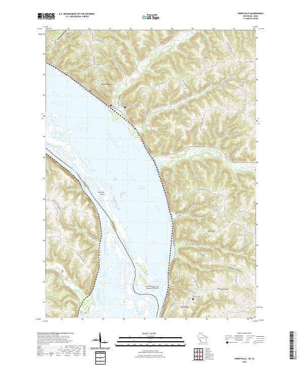 2022 Ferryville2022 Print · USGSThe Mississippi River's intricate backwaters and Wisconsin river towns are captured here in the early twenty-first century. Researchers can trace family history at Ferryville Cemetery or explore the shifting shoreline of Lake Winneshiek and Pool Nine Island.
 - 2022 Map of Eitzen, 2022 Print
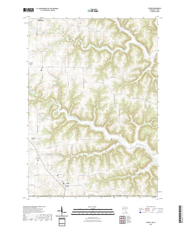 2022 Eitzen2022 Print · USGSIn the corner of southeast Minnesota, this modern survey shows the intricate ridgeline farming communities along the Iowa border. Genealogists can trace family names and sites through numerous local burial grounds like Steele Cem, Carsten Cem, and the settlement at Portland Prairie.
 - 2022 Map of Wilmington, 2022 Print
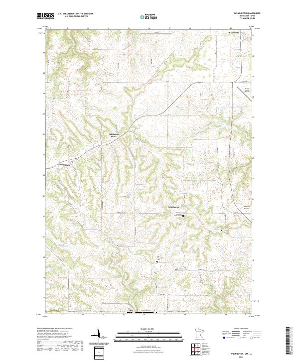 2022 Wilmington2022 Print · USGSSoutheast Minnesota’s driftless landscape remains defined by its ridge-top settlements and deep stream valleys in the early twenty-first century. Genealogists can trace early parish roots at the Wilmington Norwegian Lutheran Cem or explore the rural hubs of Willington Grove and Bee.
 - 2022 Map of Reno, 2022 Print
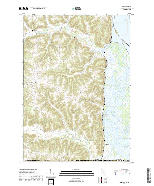 2022 Reno2022 Print · USGSThe bluffs and backwaters of Houston County are captured here in the early twenty-first century, showing the intersection of ridge-top settlements and river life. Genealogists can trace family footprints at Old Methodist Cem or Winnebago Cem, and locate landmarks like Fairy Rock and Millstone Lndg.
 - 2022 Map of New Albin, 2022 Print
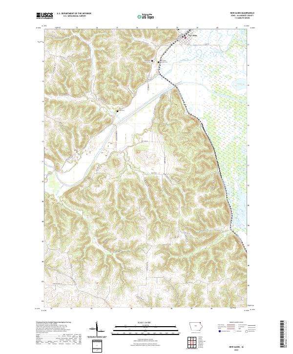 2022 New Albin2022 Print · USGSThe river bluffs and backwaters of Allamakee County are captured here in the early twenty-first century, centered on the settlement of New Albin. Local researchers can trace family sites at Saint Peters Memorial Cem or follow the intricate waterways of Pool Slough and Duck Lake.
 - 2022 Map of Giard, 2022 Print
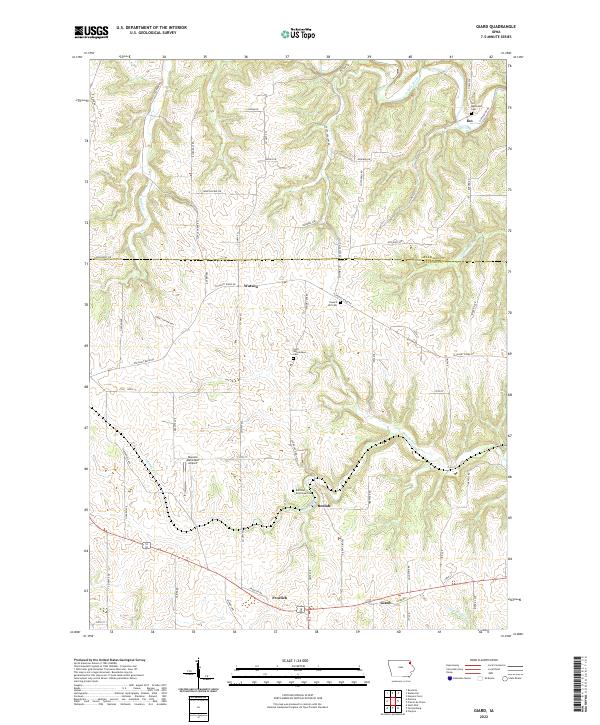 2022 Giard2022 Print · USGSClayton County's rural landscape is documented here in the early twenty-first century, showing the enduring structure of its townships and creek valleys. Genealogists can locate specific burial grounds like the Railroad Employee Cem and Ion Methodist Cem or trace the routes of Bloody Run and Sny Magill Cr.
 - 2022 Map of Postville, 2022 Print
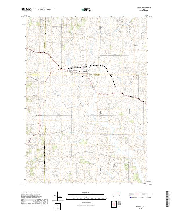 2022 Postville2022 Print · USGSThe intersection of four Iowa counties and the town of Postville are documented in this contemporary survey. Researchers can locate family heritage sites at the Post Township Cem and Fry Cem or trace the winding paths of Williams Cr.
 - 2022 Map of Frankville, 2022 Print
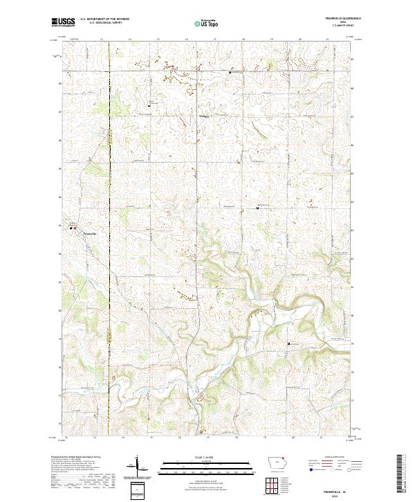 2022 Frankville2022 Print · USGSNortheast Iowa farmland along the Allamakee and Winneshiek county line is documented here in the early twenty-first century. Genealogists can locate several family and community burial sites, including Salem United Cem, Frankville Village Cem, and the Zalmona Cem.
 - 2022 Map of Waukon NW, 2022 Print
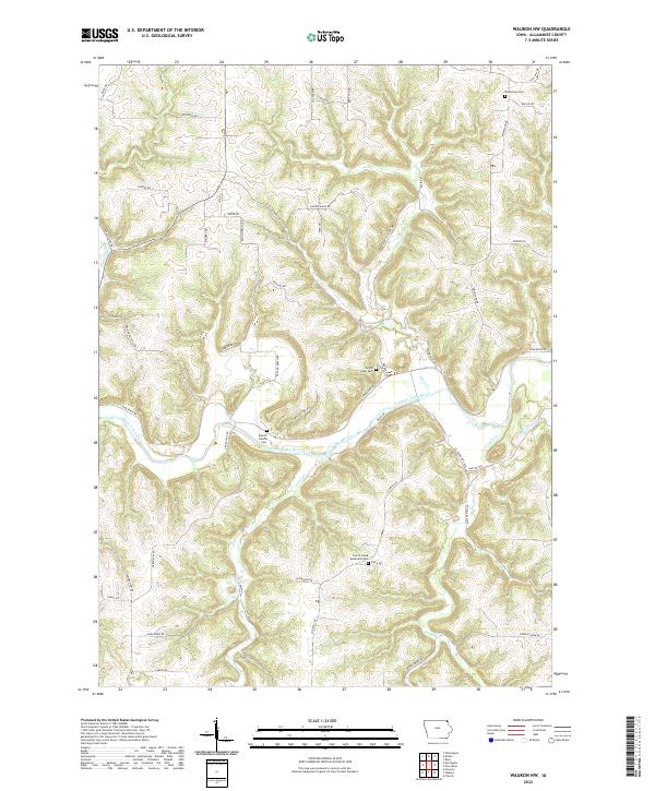 2022 Waukon NW2022 Print · USGSAllamakee County's upland ridges and deep valleys are documented in this recent survey of northeastern Iowa. Researchers can trace the meandering course of Waterloo Cr through the complex terrain of the Driftless Area near the Minnesota border.
 - 2022 Map of Monona, 2022 Print
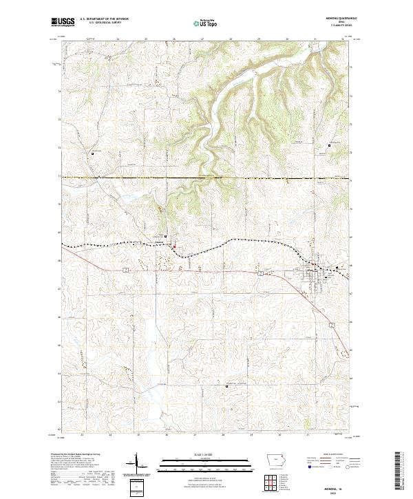 2022 Monona2022 Print · USGSNortheast Iowa at the turn of the decade reveals a landscape of established townships and deep-rooted family history. Researchers can trace genealogical sites from the Monona Cem to the Luana Lutheran Cem, or locate the historic settlement of Hardin.
 - 2022 Map of Church, 2022 Print
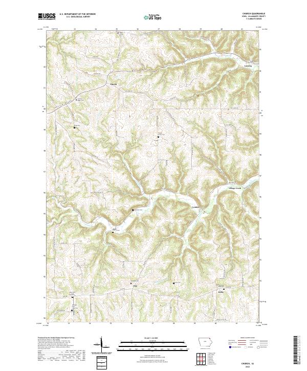 2022 Church2022 Print · USGSAllamakee County's ridge-and-valley landscape is documented here in the early twenty-first century. Genealogists can trace family names and burial sites at Mays Prairie Cem, Elon Cem, and the rural crossroads of Village Creek.
 - 2022 Map of Hanover, 2022 Print
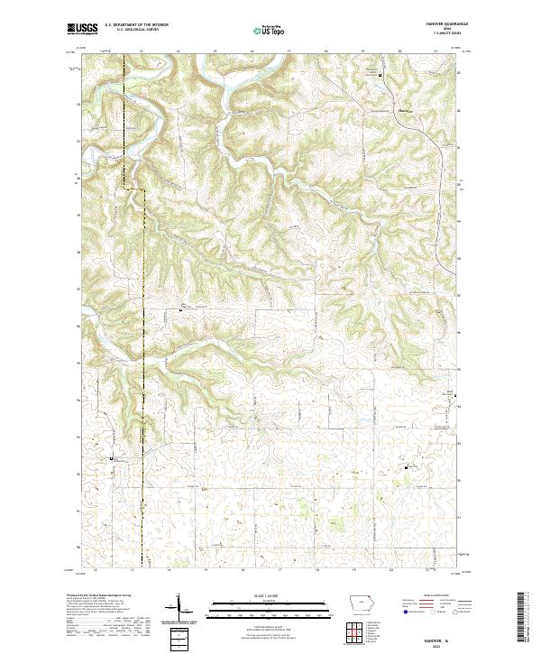 2022 Hanover2022 Print · USGSAllamakee County’s ridge-and-valley landscape is documented here in the early twenty-first century, showing the enduring rural character of northeast Iowa. Researchers can locate numerous cemeteries and landmarks, including Saint Marys Catholic Church, Eells Plot, and the winding Upper Iowa River.
 - 2022 Map of Waterville, 2022 Print
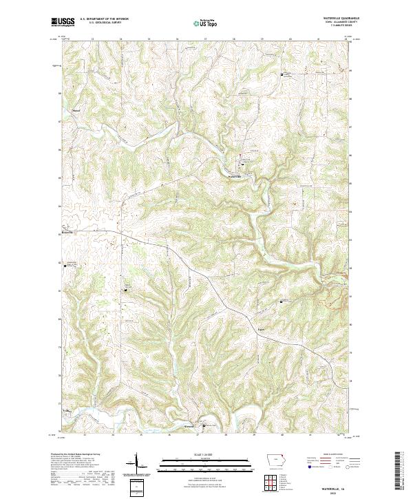 2022 Waterville2022 Print · USGSWaterville and the surrounding Driftless Area terrain are shown in high detail during the early 2020s. Genealogists and historians can locate family burial plots at Maple Hill Cem and Cherry Mound Cem, or trace the winding course of the Yellow River.
 - 2022 Map of Waukon, 2022 Print
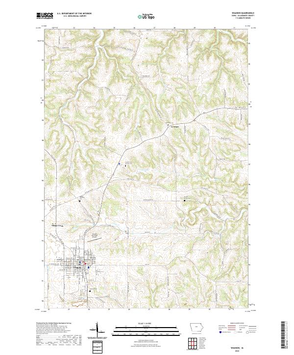 2022 Waukon2022 Print · USGSAllamakee County's agricultural and civic center is captured here during its modern development. Genealogists and local researchers can trace long-standing landmarks such as the Allamakee County Courthouse, Oakland Cem, and the rural community of Lycurgus.
 - 2022 Map of Lansing, 2022 Print
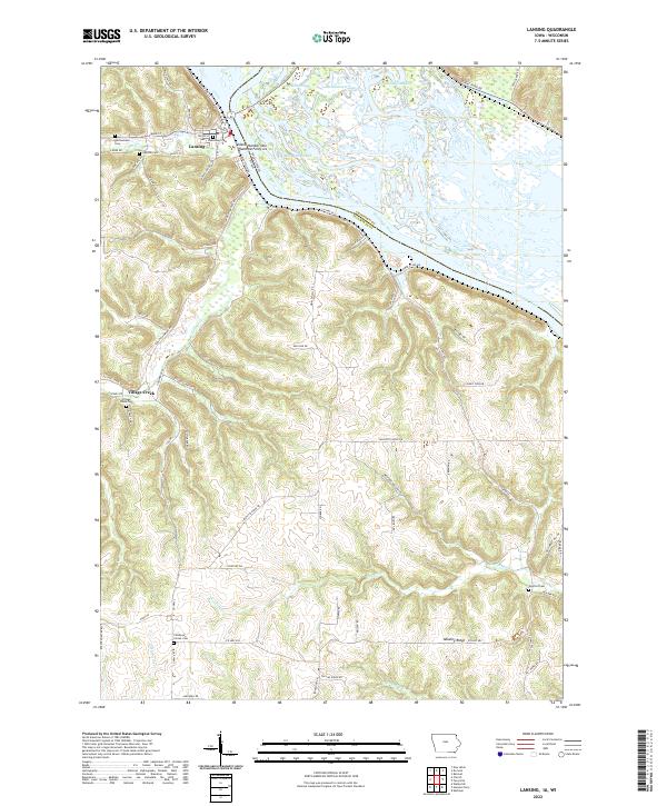 2022 Lansing2022 Print · USGSLansing and the Mississippi River front are captured in this recent survey of Allamakee County during the early 2020s. Researchers can locate numerous local burial grounds such as Gethsemane Cem and Oak Hill Cem or trace the sloughs of Winnieshiek Bottoms.
 - 2022 Map of Harpers Ferry, 2022 Print
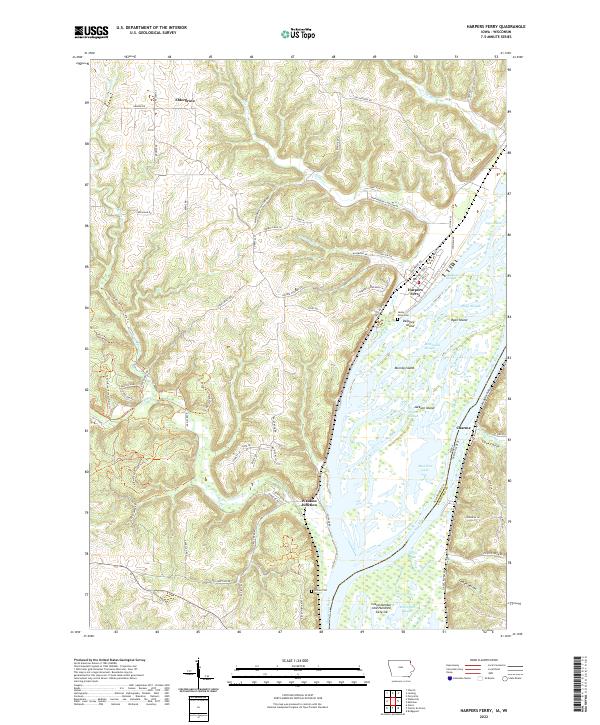 2022 Harpers Ferry2022 Print · USGSThe riverfront communities of Allamakee County thrive along the Mississippi backwaters in this recent survey. Local researchers can trace family landmarks near Harpers Ferry, find Sandy Point Cem, and explore the rail corridors at Waukon Junction.
 - 2022 Map of Dorchester, 2022 Print
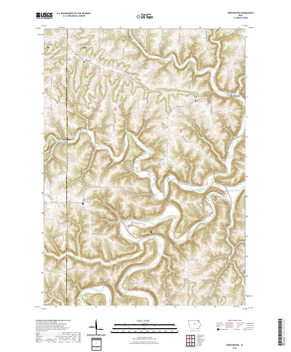 2022 Dorchester2022 Print · USGSNortheastern Iowa's deeply dissected river valleys are captured here in the early twenty-first century, showing the enduring rural character of Allamakee County. Researchers can locate numerous family and church burial sites like Waterloo Ridge Cem and the remote Swenson Farm Cem near the winding Upper Iowa River.
 - 2022 Map of Rossville, 2022 Print
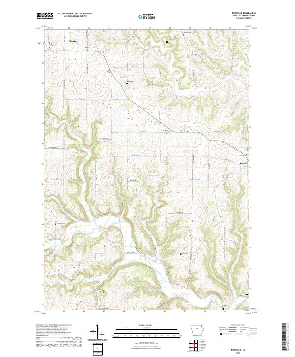 2022 Rossville2022 Print · USGSAllamakee County's rolling hills and river valleys are shown in detail as they appeared in the early 2020s. Genealogists and historians can trace family roots at Ebenezer Cem, Rossville Cem, and the Smithfield Cem near the Yellow River.
End of results
Showing maps 1-22 of 22
Top cities of Allamakee County
- Waukon historical maps
- Lansing historical maps
- New Albin historical maps
- Harpers Ferry historical maps
- Waterville historical maps
Frequently asked questions
- What are the different types of historical maps available for Allamakee County?
- What is the oldest map of Allamakee County?
- Where can I purchase historical maps of Allamakee County for my home or office?
- Where can I download high-res historical maps of Allamakee County?
- Are there historical topographic maps available for Allamakee County?
- Is there historical aerial imagery available for Allamakee County?
- Where are historical maps of Allamakee County sourced from?