2000s (21st Century) Maps of Exira, Iowa
Explore 10 historic maps of Exira from the 2000s (21st Century). These maps offer a rare glimpse into what life looked like during the 2000s — showing old roads, neighborhoods, homes, and landmarks that have changed or disappeared over time.
Whether you're researching your family's past, planning a metal detecting trip, or studying how Exira's landscape evolved across the 2000s, these high-resolution maps are a powerful tool for exploring the history of this region.
- Focus on a specific era: All maps on this page are from the 2000s, giving you a focused view of this time period.
- See what’s changed: Compare century-old streets, trails, and buildings to today's modern landscape using overlays and satellite layers.
- Research with precision: Use these maps for genealogy, historical research, land use analysis, or educational projects.
- View, download, or print: Maps are fully viewable online in high resolution, and can be downloaded or printed for your own records.
Start exploring Exira's history through authentic maps from the 2000s. This is your window into the past.
Exira, IA maps
(10)- 2010 Map of Exira East, 2010 Print
 2010 Exira East2010 Print · USGSCovers Exira, including Cass County, Audubon County, and other nearby areas
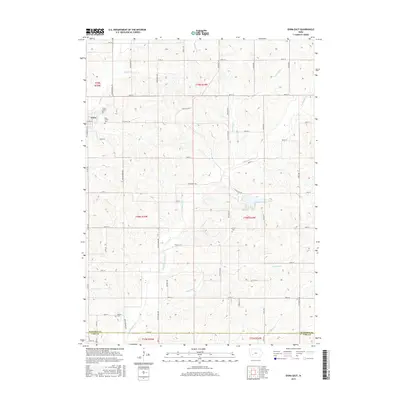
 - 2010 Map of Exira West, 2010 Print
 2010 Exira West2010 Print · USGSCovers Exira, including Brayton, Oakfield, and other nearby areas
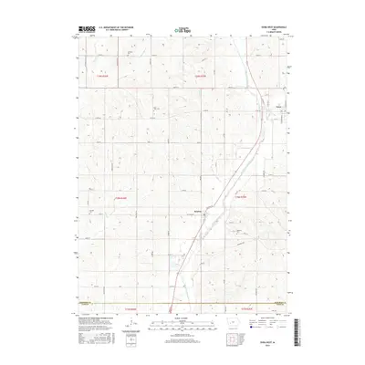
 - 2013 Map of Exira West, 2013 Print
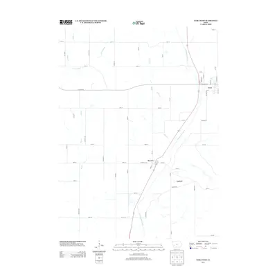 2013 Exira West2013 Print · USGSCovers Exira, including Brayton, Oakfield, and other nearby areas
 - 2013 Map of Exira East, 2013 Print
 2013 Exira East2013 Print · USGSCovers Exira, including Cass County, Audubon County, and other nearby areas
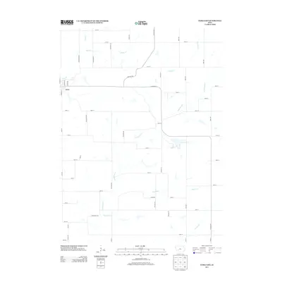
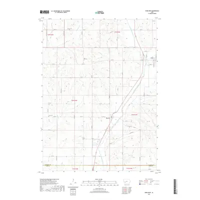
 - 2015 Map of Exira East, 2015 Print
 2015 Exira East2015 Print · USGSCovers Exira, including Cass County, Audubon County, and other nearby areas
 - 2015 Map of Exira West, 2015 Print
 2015 Exira West2015 Print · USGSCovers Exira, including Brayton, Oakfield, and other nearby areas
 - 2018 Map of Exira West, 2018 Print
 2018 Exira West2018 Print · USGSCovers Exira, including Brayton, Oakfield, and other nearby areas
 - 2018 Map of Exira East, 2018 Print
 2018 Exira East2018 Print · USGSCovers Exira, including Cass County, Audubon County, and other nearby areas
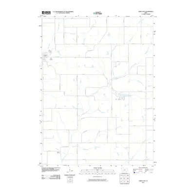
 - 2022 Map of Exira East, 2022 Print
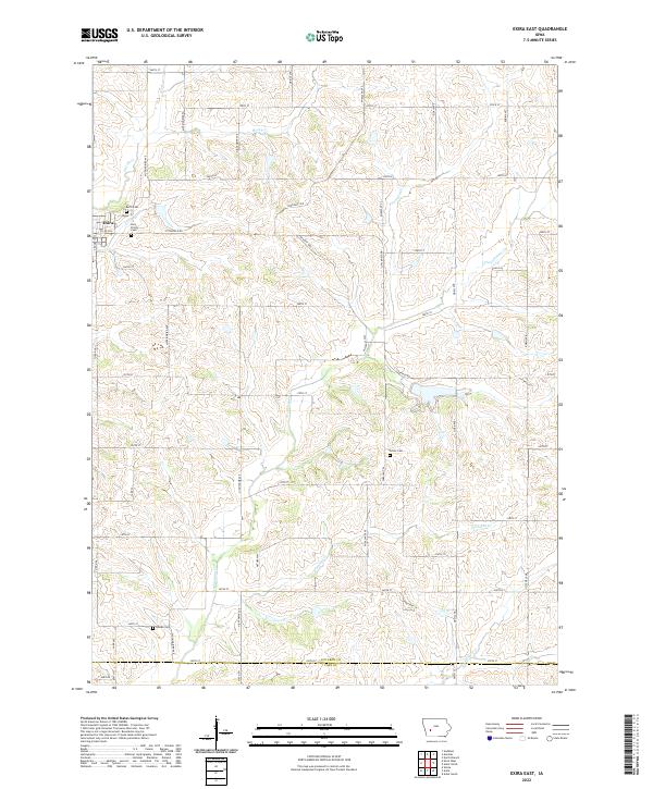 2022 Exira East2022 Print · USGSAudubon County agriculture and rural life are preserved here in the early twenty-first century. Genealogists can locate several local burial sites like Grove Cem and Bowen Cem or trace the winding paths of Troublesome Creek and Honey Creek.
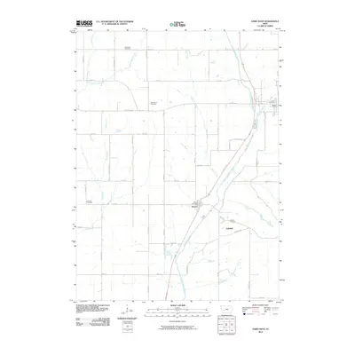
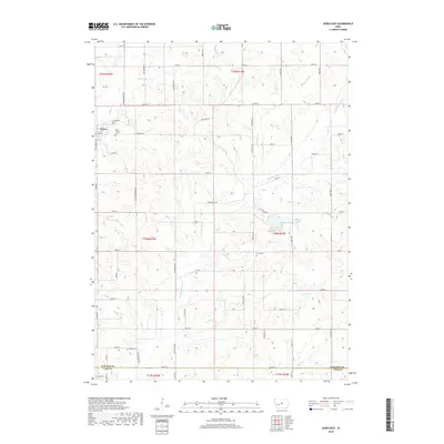
 - 2022 Map of Exira West, 2022 Print
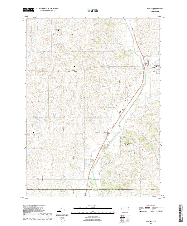 2022 Exira West2022 Print · USGSAudubon County's river-bottom farmland and traditional town centers are captured here in the early twenty-first century. Genealogists and local historians can locate the Saint Johns Cem and Oakfield Cem or trace the T-Bone Trl past Exira and Brayton.
End of results
Showing maps 1-10 of 10
Top cities near Exira
- Atlantic historical maps
- Audubon historical maps
- Anita historical maps
- Adair historical maps
- Elk Horn historical maps
- Kimballton historical maps
See more
Frequently asked questions
- What are the different types of historical maps available for Exira?
- What is the oldest map of Exira?
- Where can I purchase historical maps of Exira for my home or office?
- Where can I download high-res historical maps of Exira?
- Are there historical topographic maps available for Exira?
- Is there historical aerial imagery available for Exira?
- Where are historical maps of Exira sourced from?