2010s Maps of Boone County, Iowa
Explore 80 historic maps of Boone County from the 2010s. These maps offer a rare glimpse into what life looked like during the 2010s — showing old roads, neighborhoods, homes, and landmarks that have changed or disappeared over time.
Whether you're researching your family's past, planning a metal detecting trip, or studying how Boone County's landscape evolved across the 2010s, these high-resolution maps are a powerful tool for exploring the history of this region.
- Focus on a specific era: All maps on this page are from the 2010s, giving you a focused view of this time period.
- See what’s changed: Compare century-old streets, trails, and buildings to today's modern landscape using overlays and satellite layers.
- Research with precision: Use these maps for genealogy, historical research, land use analysis, or educational projects.
- View, download, or print: Maps are fully viewable online in high resolution, and can be downloaded or printed for your own records.
Start exploring Boone County's history through authentic maps from the 2010s. This is your window into the past.
Boone County, IA maps
(80)- 2010 Map of Slater, 2010 Print
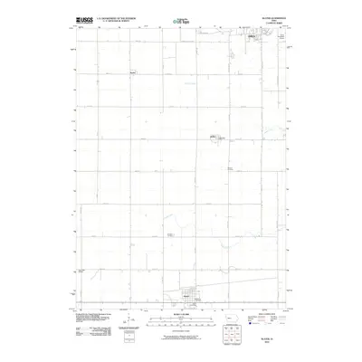 2010 Slater2010 Print · USGSIn the Story County heartland during the early twenty-first century, this landscape shows the intersection of rural heritage and municipal growth. Genealogists and local historians can trace the foundations of Slater and Kelley, identifying sites like Bethany Cemetery and the Big Creek Bridge.
 - 2010 Map of Madrid NW, 2010 Print
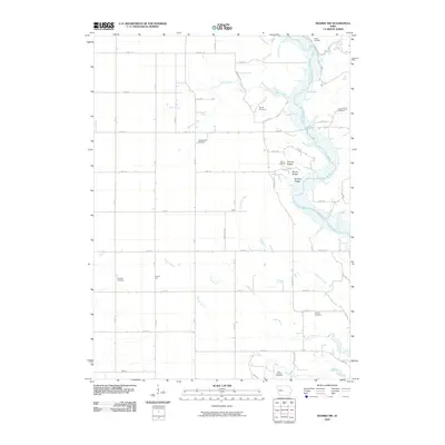 2010 Madrid NW2010 Print · USGSNear the Des Moines River in the early twenty-first century, this area of Woodward features a landscape of wooded river bluffs and rural farmsteads. Genealogists can locate several burial sites including the State Hospital Cemetery and Peoples Cemetery, or trace local terrain near Frankel Ridge.
 - 2010 Map of Rippey, 2010 Print
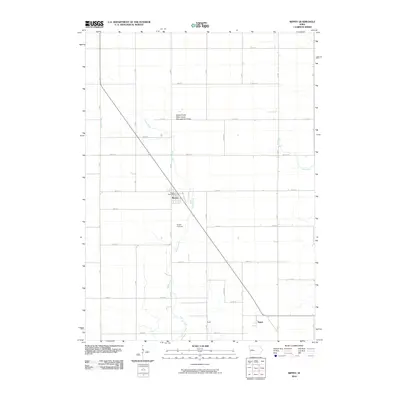 2010 Rippey2010 Print · USGSGreene County in the early 2000s remains a landscape of structured rural blocks and quiet creek valleys. Genealogists and local historians can locate families in Rippey or trace the drainage of Snake Creek through the Rippey Cemetery.
 - 2010 Map of Berkley, 2010 Print
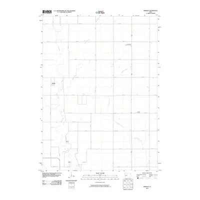 2010 Berkley2010 Print · USGSBoone County's agricultural heartland is documented here in the early twenty-first century, showing the rural grid surrounding Berkley. Researchers can trace family history through several local burial sites, including Peoples Cemetery and the Swede Valley Lutheran Cemetery.
 - 2010 Map of Dawson, 2010 Print
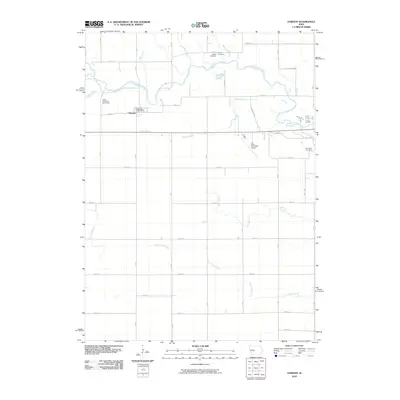 2010 Dawson2010 Print · USGSDawson and the surrounding Dallas County farmsteads are captured here in the early twenty-first century, centered on the winding North Raccoon River. Researchers can locate several historical burial sites like Angus Cemetery and Dallas Township Cemeteries or trace the many waterways including Fannys Branch.
 - 2010 Map of Luther, 2010 Print
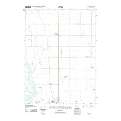 2010 Luther2010 Print · USGSCentral Iowa's agricultural heartland is documented here during the first decade of the 21st century. Genealogists can trace family roots through numerous local sites including Hull, Fairview, and the Cassel burial grounds near Madrid.
 - 2010 Map of Perry, 2010 Print
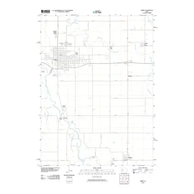 2010 Perry2010 Print · USGSCentral Iowa's rail and river corridors are clearly defined here in the early twenty-first century. Genealogists can trace family names at Violet Hill and Myers Cemetery, while rail historians can locate the expansive Perry Yard.
 - 2010 Map of Grand Junction, 2010 Print
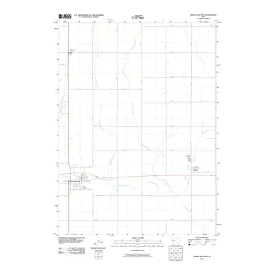 2010 Grand Junction2010 Print · USGSGrand Junction and its surrounding townships are shown here during the early twenty-first century as a well-ordered landscape of farms and creek beds. Researchers can pinpoint specific local landmarks including the Dana Post Office, Beaver Cemetery, and the Beaver Creek Bridge.
 - 2010 Map of Boone West, 2010 Print
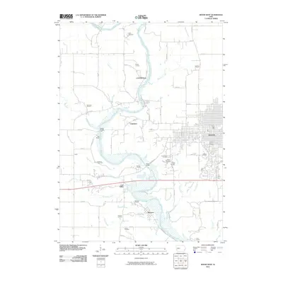 2010 Boone West2010 Print · USGSBoone and the Des Moines River valley appear here in the early twenty-first century, showing a mix of urban growth and quiet river settlements. Researchers can trace historic family locations at Linwood Park Cemetery or explore the sites of Centerville and Moingona.
 - 2010 Map of Boone East, 2010 Print
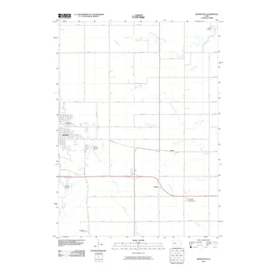 2010 Boone East2010 Print · USGSThe eastern edges of Boone and the surrounding prairie come into focus in the early twenty-first century, showing the town's expansion toward the agrarian landscape. Genealogists can locate family landmarks like the Mitchell Cemetery, Squire Boone Cemetery, and the small settlement of Jordan.
 - 2010 Map of Ames NW, 2010 Print
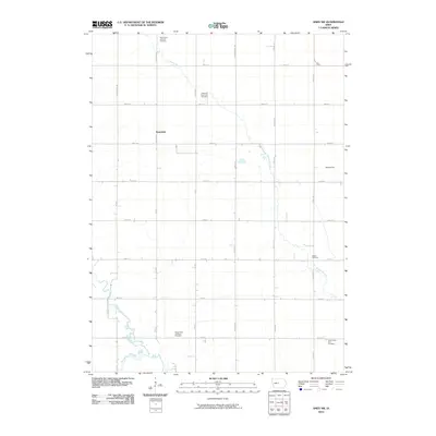 2010 Ames NW2010 Print · USGSClear Lake Township and the surrounding rural countryside are captured here in the early twenty-first century. Genealogists can locate several family and community burial sites, such as Center Cemetery and Saints Peter and Paul Cemetery, or trace the local Rosendale settlement.
 - 2010 Map of Fraser, 2010 Print
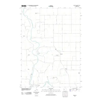 2010 Fraser2010 Print · USGSBoone County's river valley and rural uplands are shown in detail during the early twenty-first century. Genealogists can trace numerous family and community burial sites, including Shafer-Gear Cemetery, Runyan Cemetery, and Schlicht Cemetery.
 - 2010 Map of Lanyon, 2010 Print
 2010 Lanyon2010 Print · USGSGreene County agriculture and rural settlements are preserved in this 2010 survey of central Iowa. Genealogists and local historians can trace family locations near Paton Township Cemetery, the settlement of Lanyon, and the quiet grounds of Renner Cemetery.
 - 2010 Map of Ogden, 2010 Print
 2010 Ogden2010 Print · USGSBoone County's agricultural heartland is documented here in the early twenty-first century, centered on the town of Ogden. Genealogists and local historians can trace family plots at Maas Cemetery or explore the drainage of Middle Beaver Creek near the Don Williams Lake recreation area.
 - 2010 Map of Ames West, 2010 Print
 2010 Ames West2010 Print · USGSWestern Story County and the sprawling campus of Iowa State University are captured here at the start of the 2010s. Researchers can trace the legacy of local settlements at Ontario, locate the Gilbert Post Office, and find family history at Olive Branch Cemetery.
 - 2010 Map of Boxholm, 2010 Print
 2010 Boxholm2010 Print · USGSBoone County farmland at the start of the 2010s reveals a landscape shaped by immigrant heritage and prairie agriculture. Genealogists can trace family connections through the Swedish Lutheran Church Cemetery, Lawn Cemetery, and the quiet settlement of Wolf.
 - 2010 Map of Woodward, 2010 Print
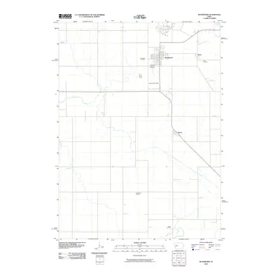 2010 Woodward2010 Print · USGSWoodward and its surrounding agricultural townships are documented here during a period of steady Midwestern development. Genealogists can locate family sites across four distinct burial grounds, including Xenia Cemetery and the more remote Beaver Cemetery.
 - 2010 Map of Granger, 2010 Print
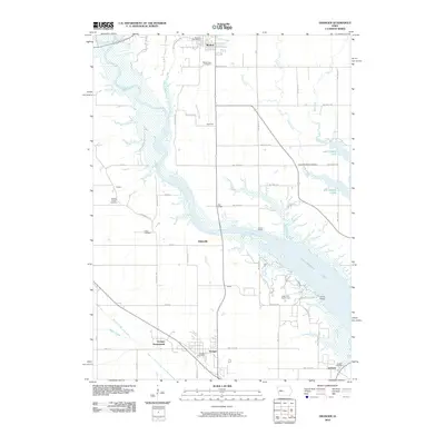 2010 Granger2010 Print · USGSCentral Iowa's river valley is defined by modern reservoir projects and deep-rooted agricultural settlements in this 2010 survey. Genealogists and local historians can locate early burial grounds like Robbins Chapel Cemetery and trace the development of Granger Homesteads near the Des Moines River.
 - 2010 Map of Polk City, 2010 Print
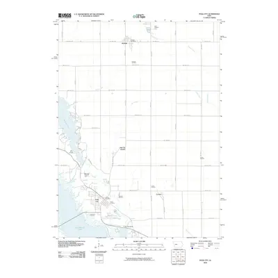 2010 Polk City2010 Print · USGSThe northern Des Moines river valley in the early 21st century reveals a landscape defined by massive reservoir projects and deep-rooted pioneer history. Trace local genealogy and land use through numerous burial sites like Beebe Cemetery and vanished stops such as Ulm or Crocker.
 - 2010 Map of Mackey, 2010 Print
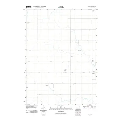 2010 Mackey2010 Print · USGSDodge Township in Boone County is shown here at the turn of the millennium as a landscape of grid-aligned farms and quiet rural hamlets. Family historians can locate several local burial sites including Lake Center Cemetery and the South Marion Cemetery.
 - 2013 Map of Berkley, 2013 Print
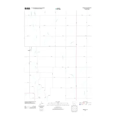 2013 Berkley2013 Print · USGSBerkley and the surrounding Boone County countryside are shown here in the early twenty-first century, defined by a rigid grid of rural farm roads. Genealogists and local historians can trace property boundaries and natural landmarks like Beaver Cr, Frog Cr, and the small community of Berkley.
 - 2013 Map of Rippey, 2013 Print
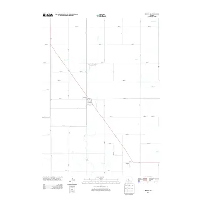 2013 Rippey2013 Print · USGSThis Greene County township in the early twenty-first century remains defined by its deep-rooted agricultural grid and small prairie settlements. Researchers can trace the layout of Rippey or locate the site of Surry and the Snake Creek State Game Management Area.
 - 2013 Map of Luther, 2013 Print
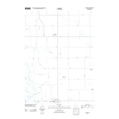 2013 Luther2013 Print · USGSBoone County's agricultural heartland is documented here in the early twenty-first century, spanning the terrain from Luther to north Madrid. Researchers can trace local landmarks such as the Iowa State Experimental Farm, Camp Laurie, and several crossings over Big Cr.
 - 2013 Map of Mackey, 2013 Print
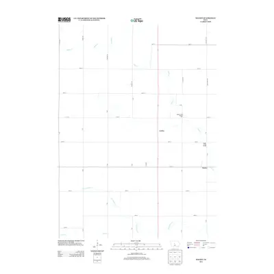 2013 Mackey2013 Print · USGSDodge Township in Boone County is shown here in the early 2010s, a period defined by its structured agricultural grid and quiet settlements. Genealogists and local historians can trace the roads and waterways around Mackey, Griffen, and the distinct crossings at Squaw Creek Bridge.
 - 2013 Map of Ames NW, 2013 Print
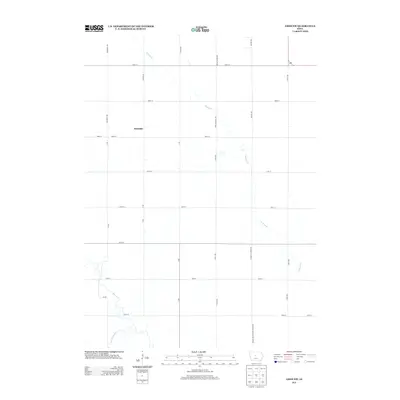 2013 Ames NW2013 Print · USGSThe rural stretches of Story and Hamilton County appear here in the early twenty-first century as a landscape of grid-roads and prairie streams. Genealogists and local historians can trace the environs of Rosedale and the courses of Keigley Br and Squaw Cr.
Showing maps 1-25 of 80
Top cities of Boone County
- Boone historical maps
- Madrid historical maps
- Ogden historical maps
- Luther historical maps
- Fraser historical maps
- Berkley historical maps
Frequently asked questions
- What are the different types of historical maps available for Boone County?
- What is the oldest map of Boone County?
- Where can I purchase historical maps of Boone County for my home or office?
- Where can I download high-res historical maps of Boone County?
- Are there historical topographic maps available for Boone County?
- Is there historical aerial imagery available for Boone County?
- Where are historical maps of Boone County sourced from?