Old Maps of Dodge Township, Iowa for Academic Research
Study the evolution of Dodge Township with 29 high-resolution historic maps. Whether you're teaching, researching, or modeling changes in land use, these maps provide essential visual documentation of urban, environmental, and geographic change.
- Analyze long-term change: Track patterns in development, transportation, and natural features.
- Ideal for environmental or urban studies: Support academic projects with primary historical map data.
- Use in the classroom or lab: Educators and researchers rely on these maps to bring historical context to life.
These maps are a powerful tool for teaching, research, and visualizing how Dodge Township has changed over the decades.
Dodge Township, IA maps
(29)- 1916 Map of Boone
 1916 Boone1916 Print · USGSBoone and the Des Moines River valley appear here in the decade before the Great War, showing a landscape defined by deep river bluffs and heavy rail traffic. Genealogists can locate dozens of named rural schools such as Incline School and Coal Valley School, or trace the riverside streets of Moingona and Fraser.3 unique versions available
 - 1954 Map of Waterloo, 1968 Print
 1954 Waterloo1968 Print · USGSCentral Iowa at the height of its mid-century agricultural and rail boom features the growing hubs of Waterloo and Cedar Falls. Genealogists and researchers can trace the rail corridors of the Chicago Great Western and find local landmarks like Iowa State College and Brushy Ridge.4 unique versions available
 - 1955 Map of Waterloo
 1955 Waterloo1955 Print · USGSCentral Iowa in the mid-fifties presents a dense landscape of rail-connected farming towns and growing river cities. Researchers can trace ancestral roots and old transport routes through Waterloo, Marshalltown, and Ames, while locating rural Cemeteries and local Quarries.2 unique versions available
 - 1965 Map of Mackey, 1966 Print
 1965 Mackey1966 Print · USGSBoone and Hamilton counties are shown in the mid-1960s as a landscape of rural schoolhouses and family burial grounds. Researchers can trace local lineage at South Marion Cem and Leininger Cem or locate the old St Paul Sch and Mackey.
 - 1965 Map of Fraser, 1966 Print
 1965 Fraser1966 Print · USGSThe Des Moines River valley in the mid-1960s reveals a rural landscape transitioning toward major hydrological management. Researchers can trace ancestral locations at Hardin Cem or Mineral Ridge Cem and locate vanished landmarks near Ridgeport and Fraser.
 - 1965 Map of Boone East, 1966 Print
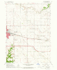 1965 Boone East1966 Print · USGSBoone and its surrounding townships show a robust rail and agricultural network in the mid-sixties. Genealogists and local historians can trace the paths of the Chicago and North Western or locate the Squire Boone Cem and Lowell Sch.2 unique versions available
 - 1965 Map of Boone West, 1966 Print
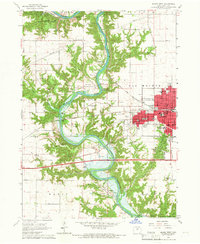 1965 Boone West1966 Print · USGSThe Des Moines River valley in the mid-1960s shows a landscape of deep ravines, active mining, and new water management. Trace local history through Moingona, Battin Chapel, and the vanished Mine Dump sites near Logansport.2 unique versions available
 - 1985 Map of Ames
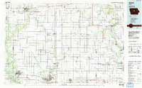 1985 Ames1985 Print · USGSCentral Iowa's prairie landscape in the mid-eighties shows a well-established network of rail towns and conservation areas. Genealogists and historians can trace the paths of the Lincoln Highway and the Chicago and North Western line connecting Ames, Boone, and Webster City.
 - 1993 Map of Ames
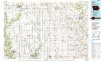 1993 Ames1993 Print · USGSCentral Iowa in the early nineties shows a landscape of river-fed parklands and growing academic centers. Genealogists and researchers can trace local church sites like Sts Peter and Paul Ch or navigate the corridors of the Chicago and North Western through towns like Hubbard and Stanhope.
 - 2010 Map of Boone West, 2010 Print
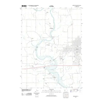 2010 Boone West2010 Print · USGSBoone and the Des Moines River valley appear here in the early twenty-first century, showing a mix of urban growth and quiet river settlements. Researchers can trace historic family locations at Linwood Park Cemetery or explore the sites of Centerville and Moingona.
 - 2010 Map of Boone East, 2010 Print
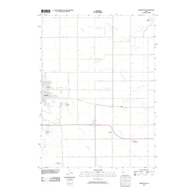 2010 Boone East2010 Print · USGSThe eastern edges of Boone and the surrounding prairie come into focus in the early twenty-first century, showing the town's expansion toward the agrarian landscape. Genealogists can locate family landmarks like the Mitchell Cemetery, Squire Boone Cemetery, and the small settlement of Jordan.
 - 2010 Map of Fraser, 2010 Print
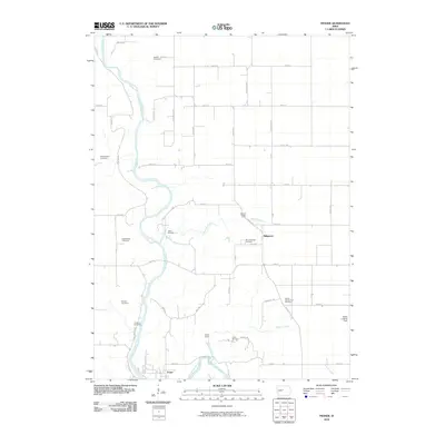 2010 Fraser2010 Print · USGSBoone County's river valley and rural uplands are shown in detail during the early twenty-first century. Genealogists can trace numerous family and community burial sites, including Shafer-Gear Cemetery, Runyan Cemetery, and Schlicht Cemetery.
 - 2010 Map of Mackey, 2010 Print
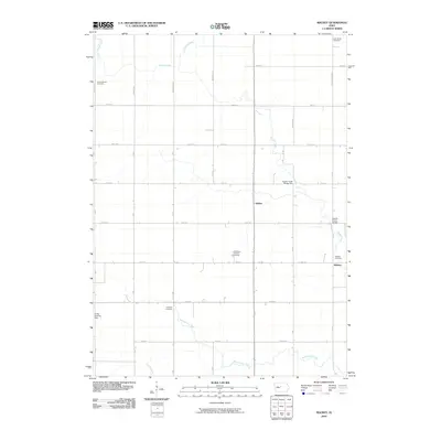 2010 Mackey2010 Print · USGSDodge Township in Boone County is shown here at the turn of the millennium as a landscape of grid-aligned farms and quiet rural hamlets. Family historians can locate several local burial sites including Lake Center Cemetery and the South Marion Cemetery.
 - 2013 Map of Mackey, 2013 Print
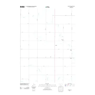 2013 Mackey2013 Print · USGSDodge Township in Boone County is shown here in the early 2010s, a period defined by its structured agricultural grid and quiet settlements. Genealogists and local historians can trace the roads and waterways around Mackey, Griffen, and the distinct crossings at Squaw Creek Bridge.
 - 2013 Map of Boone East, 2013 Print
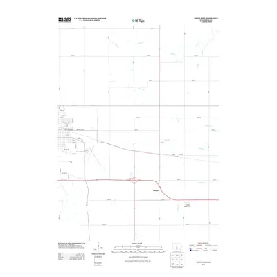 2013 Boone East2013 Print · USGSThe rural outskirts of Boone come into focus in the early 2010s, showing a well-developed network of section roads and small creek drainages. Genealogists and local historians can locate the settlements of Jordan and Ericson or explore the grounds of the Iowa State University Agronomy Farm.
 - 2013 Map of Boone West, 2013 Print
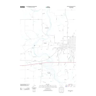 2013 Boone West2013 Print · USGSThe Des Moines River valley in central Iowa is shown here in the early 2000s, where river crossings and hillside settlements define the landscape. Researchers can trace the layout of Centerville, Logansport, and the historic mining area of Coal Valley.
 - 2013 Map of Fraser, 2013 Print
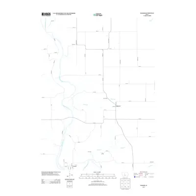 2013 Fraser2013 Print · USGSThis central Iowa river valley is captured in the early twenty-first century as the landscape shifts from wooded bluffs to flat farmland. Genealogists and locals can trace the terrain around Fraser and Ridgeport, or locate sites like Camp Morrison and the YWCA Camp.
 - 2015 Map of Boone West, 2015 Print
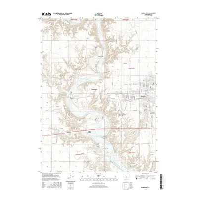 2015 Boone West2015 Print · USGSThe Des Moines River valley in the mid-2010s reveals a landscape shaped by river crossings and small riverside communities. Researchers can trace the heritage of the region through landmarks like the Milton Lott Grave, Boone Bridge, and the Sacred Heart Cem.
 - 2015 Map of Boone East, 2015 Print
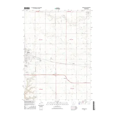 2015 Boone East2015 Print · USGSThe eastern expansion of Boone and the surrounding rural townships are captured here in the mid-2010s. Genealogists and local historians can locate several family burial sites like Sarah Dinwoodie Cem and trace the small communities of Jordan and Ericson.
 - 2015 Map of Mackey, 2015 Print
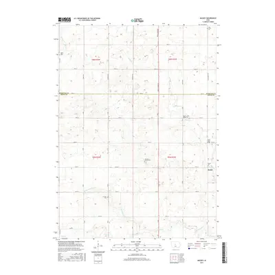 2015 Mackey2015 Print · USGSDodge Township and the surrounding Boone County farmland are shown here in the mid-2010s. Genealogists can trace local family history through numerous burial sites like Saint Paul's Lutheran Cem, Leininger Cem, and the settlement of Mackey.
 - 2015 Map of Fraser, 2015 Print
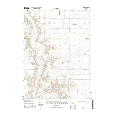 2015 Fraser2015 Print · USGSThe Des Moines River valley dominates this rural Boone County landscape as it appeared in the early 21st century. Genealogists can trace numerous historic burial sites, including the Boone County Farm Cem and White Cem, alongside the small communities of Fraser and Ridgeport.
 - 2018 Map of Boone West, 2018 Print
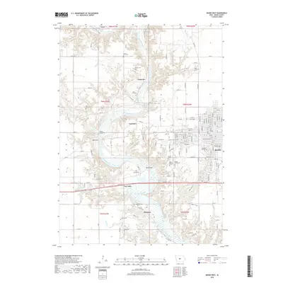 2018 Boone West2018 Print · USGSThe river valley west of Boone is documented here in the early twenty-first century, showing the intersection of rail history and pioneer heritage. Researchers can locate several burial sites, from the solitary Milton Lott Grave to Oakwood Cem near Moingona.
 - 2018 Map of Fraser, 2018 Print
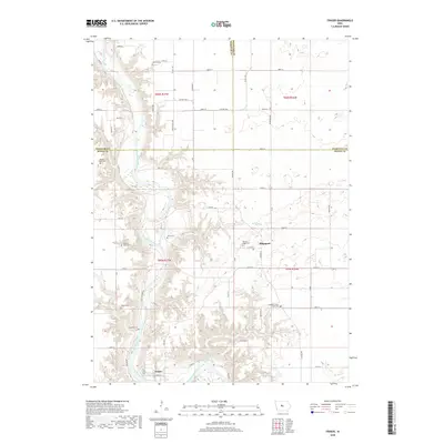 2018 Fraser2018 Print · USGSBoone County in the early twenty-first century remains a landscape shaped by the Des Moines River and its rural burial grounds. Researchers can trace local lineage across dozens of sites like Mineral Ridge Cem and the settlement at Fraser.
 - 2018 Map of Boone East, 2018 Print
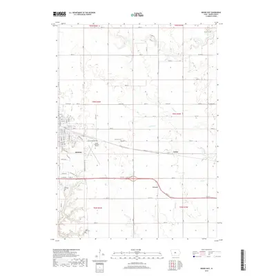 2018 Boone East2018 Print · USGSBoone and its eastern agricultural outskirts are captured in this recent survey of the central Iowa heartland. Local historians can trace family roots at Squire Boone Cemetery, locate the hamlets of Jordan and Ericson, or examine the grounds of Boone Municipal Airport.
 - 2018 Map of Mackey, 2018 Print
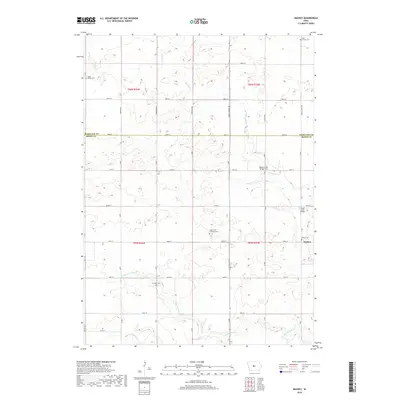 2018 Mackey2018 Print · USGSThe rural border of Boone and Hamilton counties is captured here in the late 2010s, showing a landscape defined by prairie creeks and deep-rooted community landmarks. Genealogists can locate several local burial grounds including Leininger Cem, Lake Center Cem, and Mackey Cem.
Showing maps 1-25 of 29
Top cities near Dodge Township
- Ames historical maps
- Boone historical maps
- Ogden historical maps
- Dayton historical maps
- Stratford historical maps
- Lehigh historical maps
See more
Top neighborhoods of Dodge Township
Frequently asked questions
- What are the different types of historical maps available for Dodge Township?
- What is the oldest map of Dodge Township?
- Where can I purchase historical maps of Dodge Township for my home or office?
- Where can I download high-res historical maps of Dodge Township?
- Are there historical topographic maps available for Dodge Township?
- Is there historical aerial imagery available for Dodge Township?
- Where are historical maps of Dodge Township sourced from?