2020s Maps of Buena Vista County, Iowa
Explore 20 historic maps of Buena Vista County from the 2020s. These maps offer a rare glimpse into what life looked like during the 2020s — showing old roads, neighborhoods, homes, and landmarks that have changed or disappeared over time.
Whether you're researching your family's past, planning a metal detecting trip, or studying how Buena Vista County's landscape evolved across the 2020s, these high-resolution maps are a powerful tool for exploring the history of this region.
- Focus on a specific era: All maps on this page are from the 2020s, giving you a focused view of this time period.
- See what’s changed: Compare century-old streets, trails, and buildings to today's modern landscape using overlays and satellite layers.
- Research with precision: Use these maps for genealogy, historical research, land use analysis, or educational projects.
- View, download, or print: Maps are fully viewable online in high resolution, and can be downloaded or printed for your own records.
Start exploring Buena Vista County's history through authentic maps from the 2020s. This is your window into the past.
Buena Vista County, IA maps
(20)- 2022 Map of Alta, 2022 Print
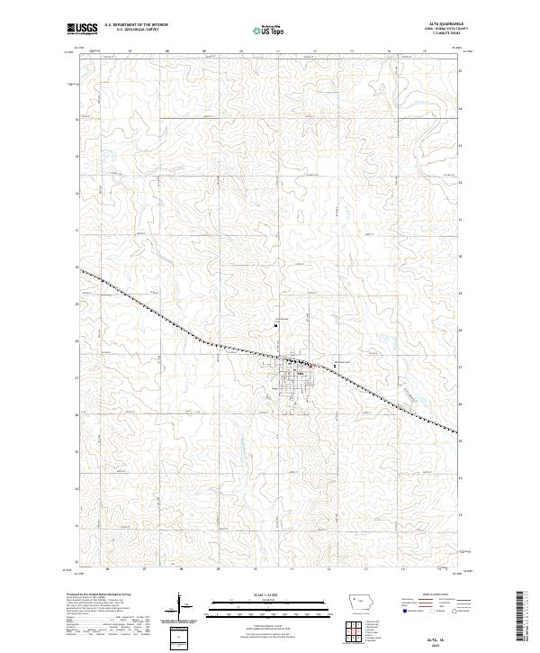 2022 Alta2022 Print · USGSAlta and the surrounding Buena Vista County countryside are captured here in the early twenty-first century, showcasing a well-developed agricultural landscape. Researchers can locate family heritage sites like Scandinavian Cem and trace the paths of the Little Maple River and Maple Cr.
 - 2022 Map of Peterson SW, 2022 Print
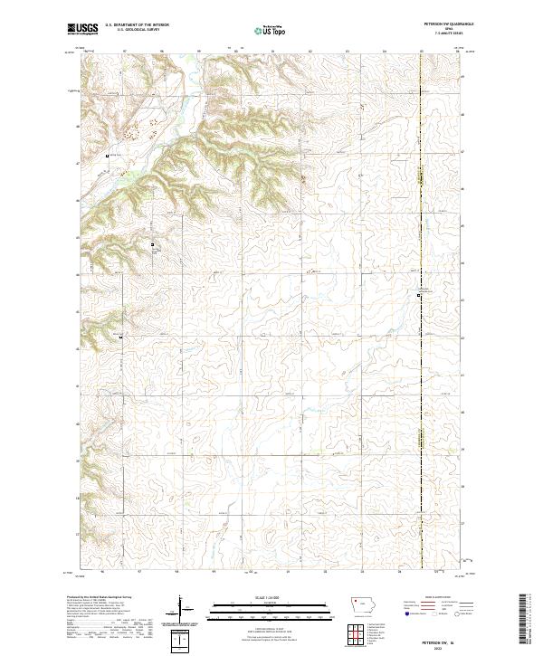 2022 Peterson SW2022 Print · USGSThe rural borderlands of Cherokee and Buena Vista counties come into focus in the early 2020s, showing a landscape of section-line roads and river valleys. Genealogists can locate family sites near Spring Township Cem, Afton Cem, and the Little Sioux River.
 - 2022 Map of Sioux Rapids SE, 2022 Print
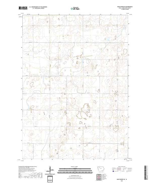 2022 Sioux Rapids SE2022 Print · USGSBuena Vista County land remains defined by its rhythmic agricultural grid and the winding N Raccoon River in this recent survey. Researchers can trace the legacy of Northwest Iowa farm boundaries along Co Hwy M50 and 150th Ave.
 - 2022 Map of Aurelia, 2022 Print
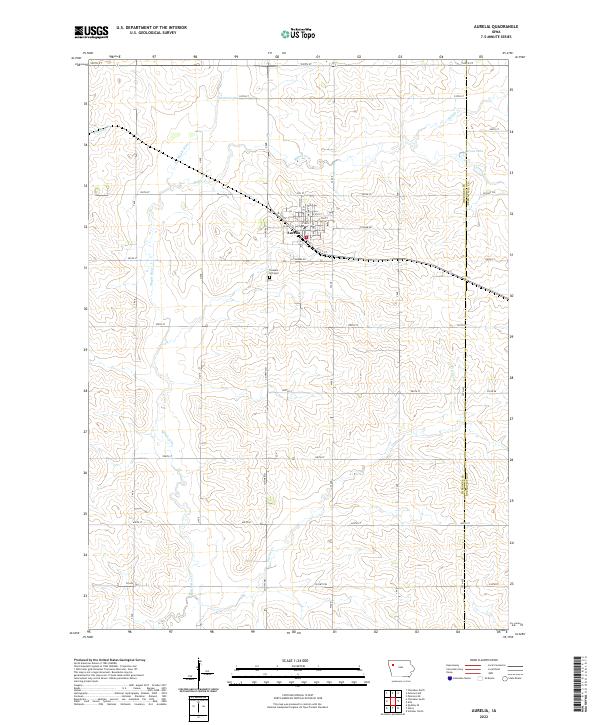 2022 Aurelia2022 Print · USGSAurelia and the surrounding Iowa farmlands are captured in this modern survey during a period of sustained agricultural productivity. Researchers can locate family sites near Pleasant Hill Cem or trace the watercourses of the Maple River and Pitcher Cr.
 - 2022 Map of Peterson, 2022 Print
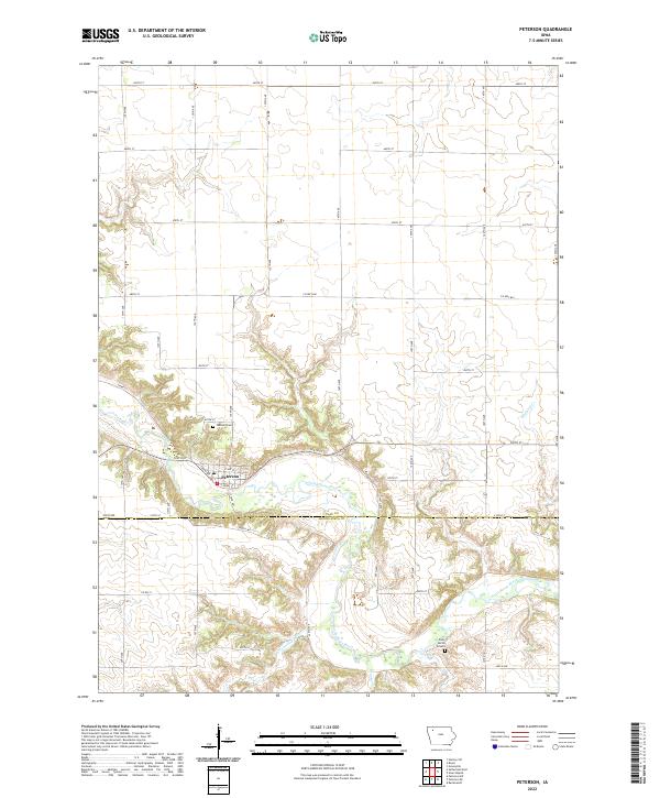 2022 Peterson2022 Print · USGSThe Little Sioux River valley defines this section of Clay County in the early 2020s. Researchers can locate family plots at Oakland Cem or Daily Burial Ground and trace the winding course of Cottonwood Gulch.
 - 2022 Map of Webb, 2022 Print
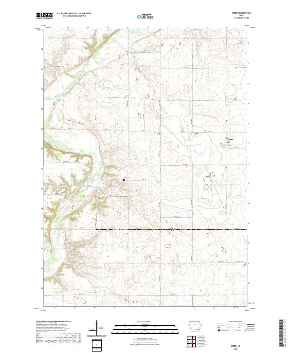 2022 Webb2022 Print · USGSThe northwestern Iowa prairie at the Clay and Buena Vista county line is captured here in the early 2020s. Genealogists and local historians can trace the landscape around Webb, identifying rural landmarks like Osborn Cem and the bends of the Little Sioux River.
 - 2022 Map of Varina, 2022 Print
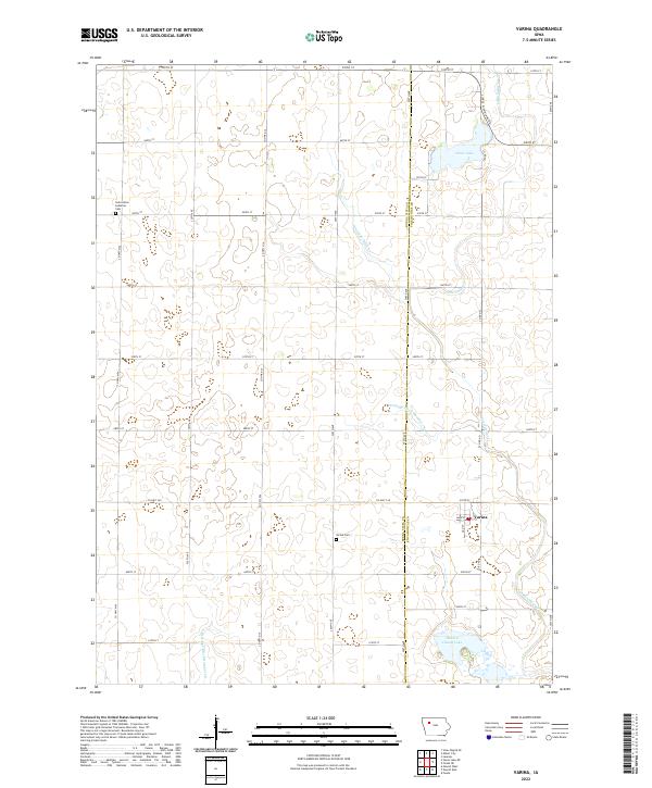 2022 Varina2022 Print · USGSThe area surrounding Varina in the early 2020s remains a landscape of productive prairie farmland and critical water management. Researchers can locate family sites and landmarks like Varina Cem, Saint Johns Lutheran Cem, and Sunken Island Lake.
 - 2022 Map of Schaller North, 2022 Print
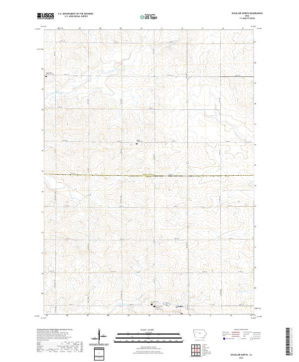 2022 Schaller North2022 Print · USGSThe border of Buena Vista and Sac Counties comes alive in this 2020s survey of the Iowa prairie. Genealogists can trace family roots through Schaller Cem, Saint John Lutheran Cem, and the headwaters of the Little Maple River near the town of Schaller.
 - 2022 Map of Sioux Rapids, 2022 Print
 2022 Sioux Rapids2022 Print · USGSThe Little Sioux River valley defines this section of Iowa, where riverside towns and historic cemeteries mark the agricultural landscape. Trace family roots at the Welsh Pioneer Cem or explore the riverfront layouts of Sioux Rapids and Linn Grove.
 - 2022 Map of Storm Lake NE, 2022 Print
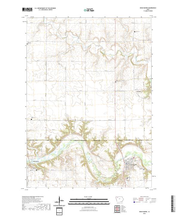
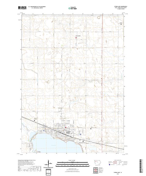
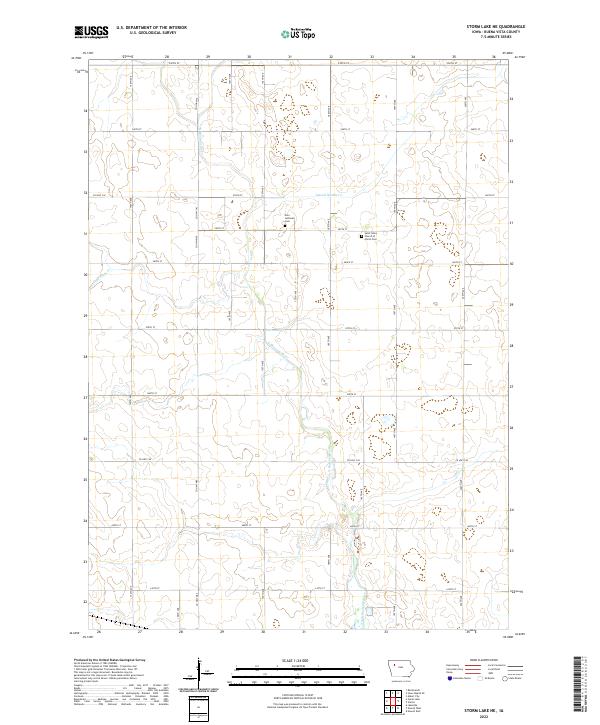 2022 Storm Lake NE2022 Print · USGSBuena Vista County in the early twenty-first century remains a landscape of precisely gridded farm roads and managed waterways. Genealogists can trace family roots at the Zion Lutheran Cem or Saint Johns Church of Christ Cem along the winding N Raccoon River.
 - 2022 Map of Newell East, 2022 Print
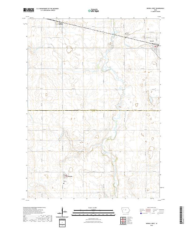
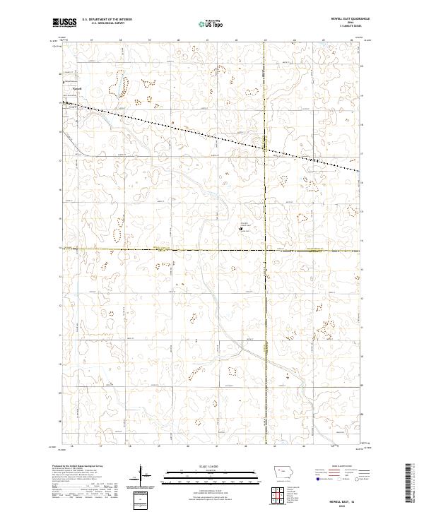 2022 Newell East2022 Print · USGSThe agricultural heartland of northwest Iowa is captured here in recent years, centered on the community of Newell. Genealogists and local historians can trace legacy sites like Cooke Cem and First M E Church among the section lines and rural crossroads.
 - 2022 Map of Galva, 2022 Print
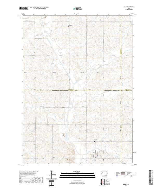 2022 Galva2022 Print · USGSThe rural landscape around the town of Galva, Iowa, is captured here in the early twenty-first century, at the meeting point of four counties. Researchers can locate family heritage sites like Diamond Cem and Saint Johns Lutheran Cem or trace the winding course of the Maple River.
 - 2022 Map of Rush Lake West, 2022 Print
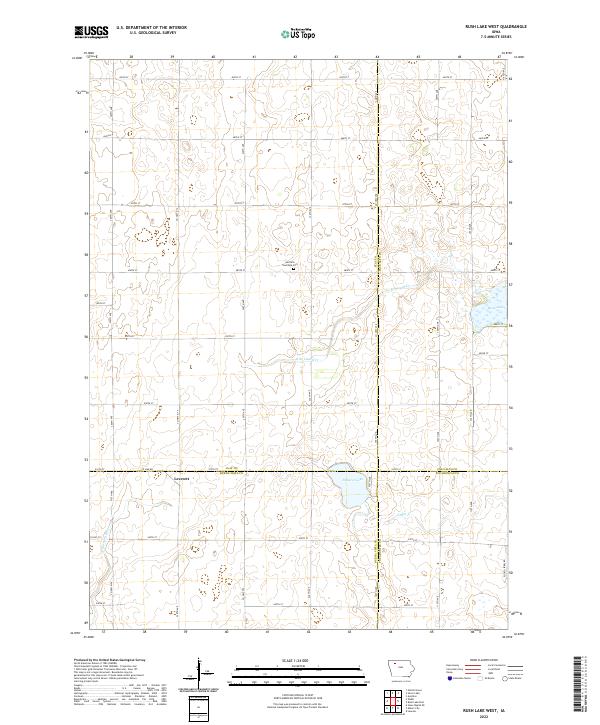 2022 Rush Lake West2022 Print · USGSClay and Palo Alto counties meet in this agricultural landscape during the 2020s, showing a region defined by its glacial lakes and river headwaters. Genealogists can locate Garfield Township Cem and the settlement of Leverett near Pickerel Lake.
 - 2022 Map of Albert City, 2022 Print
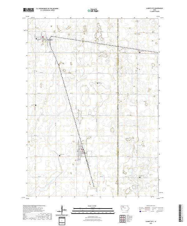 2022 Albert City2022 Print · USGSInland Buena Vista County remains a landscape of traditional township grids and quiet prairie settlements as seen in the 2020s. Genealogists can locate several local burying grounds, including Swan Lake Cem, Smith Cem, and the Marshall Cem.
 - 2022 Map of Peterson SE, 2022 Print
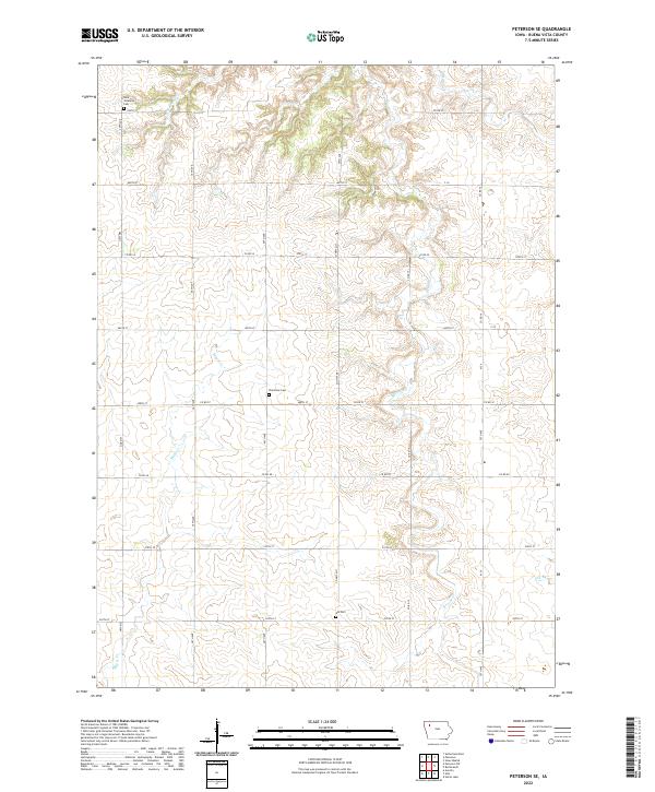 2022 Peterson SE2022 Print · USGSNorthwest Iowa farm country is captured here in the early 2020s, showing the intersection of rural life and natural drainage. Genealogists can locate family sites at Saint Johannes Cem, Plainview Cem, and Elk Cem along the Maple Cr valley.
 - 2022 Map of Rembrandt, 2022 Print
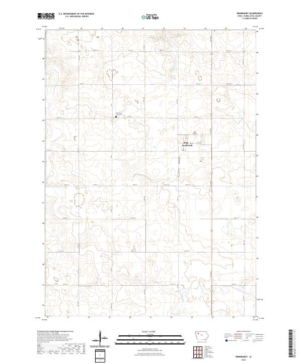 2022 Rembrandt2022 Print · USGSBuena Vista County remains a core agricultural landscape in this modern era, centered on the small town of Rembrandt. Researchers can trace the local road network and find historical points like the Little Sioux Valley Cem and the banks of Soldier Cr.
 - 2022 Map of Storm Lake, 2022 Print
 2022 Storm Lake2022 Print · USGSStorm Lake and its surrounding townships are shown here in 2022, balancing a growing lakefront community with its deep agricultural roots. Genealogists and local historians can locate several burial sites including Saint Marys Cem and trace the campus layout of Buena Vista University.
 - 2022 Map of Newell West, 2022 Print
 2022 Newell West2022 Print · USGSThe Buena Vista and Sac County line comes into focus in this recent survey of Northwest Iowa agricultural country. Researchers can trace the layout of Newell and Nemaha or locate family sites near Newell Catholic Prairie Cemetery and the North Raccoon River.
 - 2022 Map of Sutherland East, 2022 Print
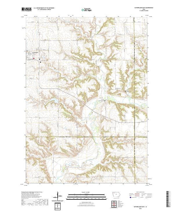 2022 Sutherland East2022 Print · USGSO'Brien County and its neighbors are captured here in the early 2020s, showing the rural landscape around the town of Sutherland. Researchers can locate specific burial sites like Hannibal Waterman Cem or trace the winding banks of the Little Sioux River.
 - 2022 Map of Lakeside, 2022 Print
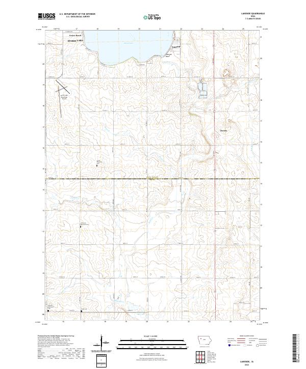 2022 Lakeside2022 Print · USGSThe southern shores of Storm Lake and the rural reaches of the Boyer River define this Iowa landscape in the early 2020s. Genealogists can trace family history through several burial grounds like Hayes Township Cem and Chase Cem.
End of results
Showing maps 1-20 of 20
Top cities of Buena Vista County
- Storm Lake historical maps
- Alta historical maps
- Newell historical maps
- Sioux Rapids historical maps
- Lakeside historical maps
- Albert City historical maps
See more
Frequently asked questions
- What are the different types of historical maps available for Buena Vista County?
- What is the oldest map of Buena Vista County?
- Where can I purchase historical maps of Buena Vista County for my home or office?
- Where can I download high-res historical maps of Buena Vista County?
- Are there historical topographic maps available for Buena Vista County?
- Is there historical aerial imagery available for Buena Vista County?
- Where are historical maps of Buena Vista County sourced from?