Old Maps of Marcus, Iowa for Genealogy
Trace your family roots with 10 historic maps of Marcus. These high-res maps reveal old neighborhoods, homesites, landmarks, and streets — helping you uncover where your ancestors lived and how the area evolved over time.
- Explore historic neighborhoods: Identify where your relatives may have lived in the 1800s or 1900s.
- Compare maps over time: Trace the changes in streets, buildings, and landmarks for multi-generational research.
- Perfect for genealogy & ancestry research: Used by family historians and researchers to map out lineage and migration.
These maps are an incredible resource for exploring your personal connection to Marcus's past.
Marcus, IA maps
(10)- 1954 Map of Fort Dodge, 1968 Print
 1954 Fort Dodge1968 Print · USGSNorthwest Iowa is shown here during a period of steady industrial and rail activity in the mid-fifties. Researchers can trace the extensive rail lines connecting Fort Dodge to mining and manufacturing sites like Gypsum and Industry Station.3 unique versions available
 - 1957 Map of Fort Dodge
 1957 Fort Dodge1957 Print · USGSWest-central Iowa thrived as a network of rail-linked agricultural hubs and river towns during the mid-fifties. Researchers can trace the development of the Des Moines River valley and locate historic landmarks in Fort Dodge, Storm Lake, and Lehigh.
 - 1958 Map of Fort Dodge
 1958 Fort Dodge1958 Print · USGSWestern Iowa in the mid-1950s reveals a productive landscape of river-valley industry and prairie agricultural hubs. Researchers can trace the development of the Des Moines River corridor through Fort Dodge and locate vanished local landmarks near Coalville or Storm Lake.
 - 1969 Map of Marcus, 1971 Print
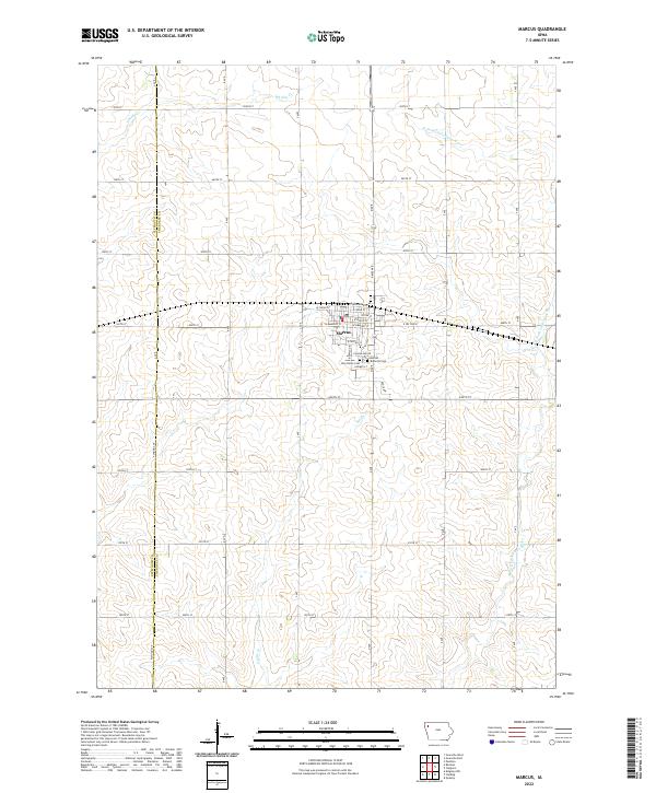
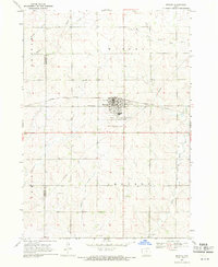 1969 Marcus1971 Print · USGSMarcus and the surrounding Northwest Iowa townships are shown here in the late sixties at a peak of agricultural development. Genealogists can trace family footprints at Holy Name Cem and Trinity Ch or follow the Illinois Central rail line.
 - 1985 Map of Storm Lake
 1985 Storm Lake1985 Print · USGSNorthwest Iowa's agricultural heartland is documented here in the mid-eighties, showing the vital rail-and-river network of the Little Sioux valley. Researchers can trace the legacy of regional hubs and smaller rail towns like Sutherland, Paullina, and Cherokee.3 unique versions available
 - 2010 Map of Marcus, 2010 Print
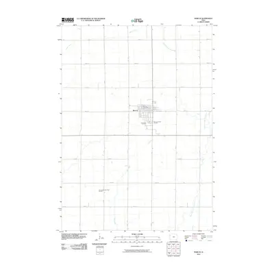 2010 Marcus2010 Print · USGSCovers Marcus, including Plymouth County, Cherokee County, and other nearby areas
 - 2013 Map of Marcus, 2013 Print
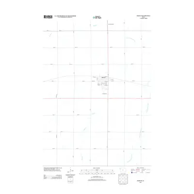 2013 Marcus2013 Print · USGSCovers Marcus, including Plymouth County, Cherokee County, and other nearby areas
 - 2015 Map of Marcus, 2015 Print
 2015 Marcus2015 Print · USGSCovers Marcus, including Plymouth County, Cherokee County, and other nearby areas
 - 2018 Map of Marcus, 2018 Print
 2018 Marcus2018 Print · USGSCovers Marcus, including Plymouth County, Cherokee County, and other nearby areas
 - 2022 Map of Marcus, 2022 Print
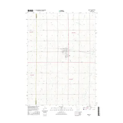
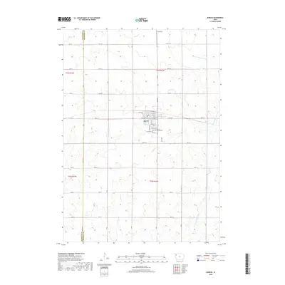
 2022 Marcus2022 Print · USGSWestern Cherokee County is captured in the early 2020s, showing the settled prairie landscape around the town of Marcus. Genealogists and local historians can locate the Amherst Cemetery, Holy Name Cemetery, and the central PO serving this rural community.
End of results
Showing maps 1-10 of 10
Top cities near Marcus
- Orange City historical maps
- Cherokee historical maps
- Remsen historical maps
- Kingsley historical maps
- Alton historical maps
- Paullina historical maps
See more
Frequently asked questions
- What are the different types of historical maps available for Marcus?
- What is the oldest map of Marcus?
- Where can I purchase historical maps of Marcus for my home or office?
- Where can I download high-res historical maps of Marcus?
- Are there historical topographic maps available for Marcus?
- Is there historical aerial imagery available for Marcus?
- Where are historical maps of Marcus sourced from?