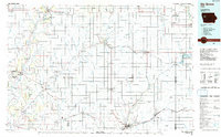
Old Maps of Denison, Iowa for Hiking & Exploration
Hike through history with 32 historic maps of Denison. Explore old trails, ghost towns, and forgotten backroads — perfect for outdoor adventurers and local explorers.
- Rediscover forgotten places: Map out old mining camps, roads, and footpaths that no longer exist on modern maps.
- Layer with modern tools: Combine with LiDAR or satellite views to plan hikes through historical terrain.
- Made for exploration: Popular among hikers, overlanders, and local history lovers.
Use these maps to find adventure and explore the hidden past of Denison.
Denison, IA maps
(32)- 1954 Map of Omaha, 1967 Print
 1954 Omaha1967 Print · USGSMid-century development radiates from the river bluffs into the agricultural heartland during this period of post-war growth. Genealogists and historians can trace rail-connected towns like Atlantic and Red Oak or locate the sprawling grounds of Offutt Air Force Base and Manawa Lake.3 unique versions available
 - 1954 Map of Fort Dodge, 1968 Print
 1954 Fort Dodge1968 Print · USGSNorthwest Iowa is shown here during a period of steady industrial and rail activity in the mid-fifties. Researchers can trace the extensive rail lines connecting Fort Dodge to mining and manufacturing sites like Gypsum and Industry Station.3 unique versions available
 - 1957 Map of Omaha
 1957 Omaha1957 Print · USGSWestern Iowa and the Missouri River valley are seen here in the mid-fifties during the height of the rail-and-road era. Researchers can trace the sprawling rail lines of the Chicago And North Western or locate Cold War landmarks like Offutt Air Force Base.
 - 1957 Map of Fort Dodge
 1957 Fort Dodge1957 Print · USGSWest-central Iowa thrived as a network of rail-linked agricultural hubs and river towns during the mid-fifties. Researchers can trace the development of the Des Moines River valley and locate historic landmarks in Fort Dodge, Storm Lake, and Lehigh.
 - 1958 Map of Omaha
 1958 Omaha1958 Print · USGSOmaha and Council Bluffs stand at the center of this mid-fifties landscape, where the Missouri River splits the urban plains of Nebraska from the rolling hills of western Iowa. Genealogists can trace the rail lines of the Wabash RR and Illinois Central RR to rural settlements like Missouri Valley and Red Oak.2 unique versions available
 - 1958 Map of Fort Dodge
 1958 Fort Dodge1958 Print · USGSWestern Iowa in the mid-1950s reveals a productive landscape of river-valley industry and prairie agricultural hubs. Researchers can trace the development of the Des Moines River corridor through Fort Dodge and locate vanished local landmarks near Coalville or Storm Lake.
 - 1971 Map of Earling NE, 1973 Print
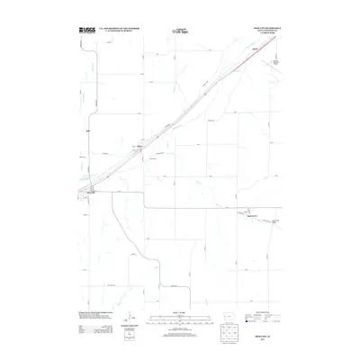
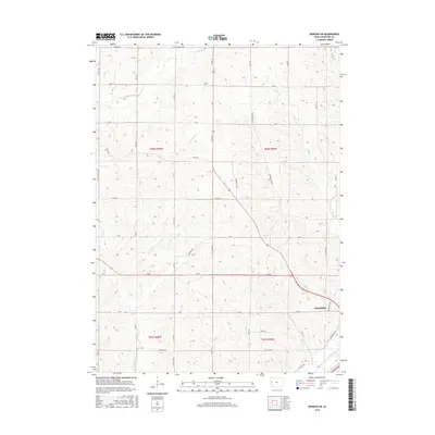
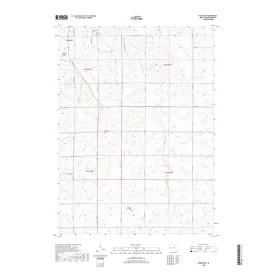
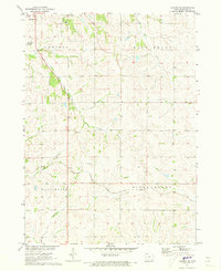 1971 Earling NE1973 Print · USGSCrawford County's rural townships are captured in the early 1970s during a period of steady agricultural production and infrastructure development. Genealogists can trace family footprints at Zion Cem and Township Cem, while rail enthusiasts can follow the Chicago Milwaukee St Paul and Pacific line.
 - 1971 Map of Denison, 1973 Print
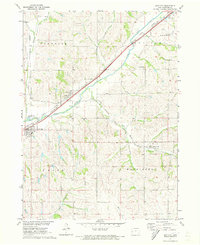
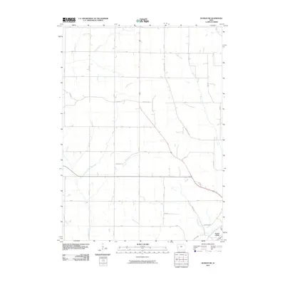
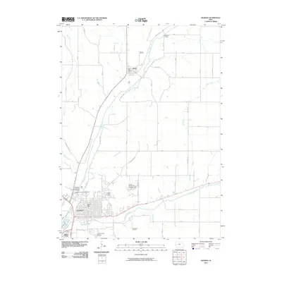
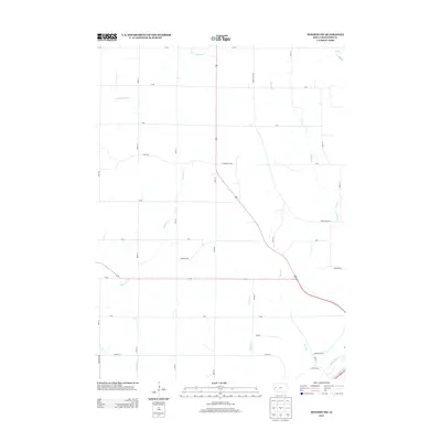
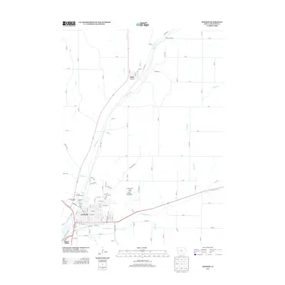
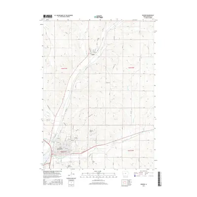
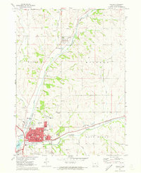 1971 Denison1973 Print · USGSDenison and the Boyer River valley are shown in the early seventies, at the busy junction of two major Midwestern rail lines. Researchers can trace family history through several local burial grounds, including Milford Cem, and find old landmarks like the Zion Sch and Our Savior Ch.
 - 1971 Map of Dow City, 1973 Print
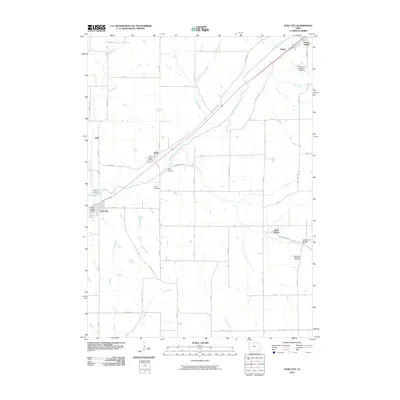
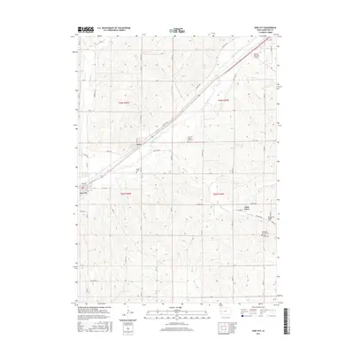
 1971 Dow City1973 Print · USGSCrawford County's rail-and-river network is on full display in the early seventies, featuring the convergence of three major railroads. Genealogists and local historians can trace the foundations of Dow City, Arion, and Buck Grove, or locate family sites like Butler Cem.
 - 1971 Map of Denison SW, 1973 Print
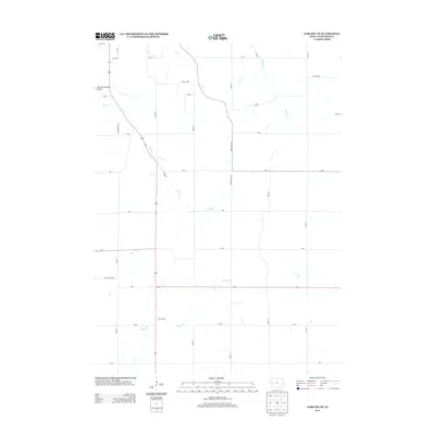
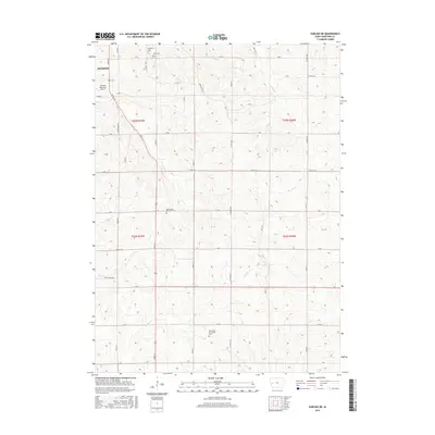
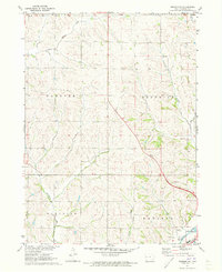 1971 Denison SW1973 Print · USGSCrawford County's rolling farmland and river valleys are captured here in the early seventies, showing the rural township boundaries of Morgan and Hanover. Trace the C & NW rail line as it follows the Boyer River past a local Gravel Pit.
 - 1980 Map of Harlan
 1980 Harlan1980 Print · USGSWestern Iowa and the Nebraska borderlands are shown in the early eighties as a vital corridor of rail and river commerce. Genealogists and local historians can trace family roots through old rural crossroads like Beebeetown and Westphalia, or locate landmarks like Rose Hill Cem.
 - 1985 Map of Ida Grove
 1985 Ida Grove1985 Print · USGSWestern Iowa's agricultural heartland is documented in the mid-1980s, showcasing a network of grain-hauling rail lines and river valley settlements. Genealogists and historians can trace family locations across Ida Grove and Denison or locate landmarks like Black Hawk Lake.2 unique versions available
 - 2010 Map of Denison SW, 2010 Print
 2010 Denison SW2010 Print · USGSCovers Denison, including Crawford County, United States, and other nearby areas
 - 2010 Map of Denison, 2010 Print
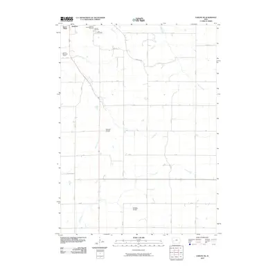
 2010 Denison2010 Print · USGSCovers Denison, including Deloit, Sunset Village, and other nearby areas
 - 2010 Map of Dow City, 2010 Print
 2010 Dow City2010 Print · USGSCovers Denison, including Dow City, Arion, and other nearby areas
 - 2010 Map of Earling NE, 2010 Print
 2010 Earling NE2010 Print · USGSCovers Denison, including Crawford County, United States, and other nearby areas
 - 2013 Map of Dow City, 2013 Print
 2013 Dow City2013 Print · USGSCovers Denison, including Dow City, Arion, and other nearby areas
 - 2013 Map of Earling NE, 2013 Print
 2013 Earling NE2013 Print · USGSCovers Denison, including Crawford County, United States, and other nearby areas
 - 2013 Map of Denison SW, 2013 Print
 2013 Denison SW2013 Print · USGSCovers Denison, including Crawford County, United States, and other nearby areas
 - 2013 Map of Denison, 2013 Print
 2013 Denison2013 Print · USGSCovers Denison, including Deloit, Sunset Village, and other nearby areas
 - 2015 Map of Earling NE, 2015 Print
 2015 Earling NE2015 Print · USGSCovers Denison, including Crawford County, United States, and other nearby areas
 - 2015 Map of Dow City, 2015 Print
 2015 Dow City2015 Print · USGSCovers Denison, including Dow City, Arion, and other nearby areas
 - 2015 Map of Denison SW, 2015 Print
 2015 Denison SW2015 Print · USGSCovers Denison, including Crawford County, United States, and other nearby areas
 - 2015 Map of Denison, 2015 Print
 2015 Denison2015 Print · USGSCovers Denison, including Deloit, Sunset Village, and other nearby areas
 - 2018 Map of Earling NE, 2018 Print
 2018 Earling NE2018 Print · USGSCovers Denison, including Crawford County, United States, and other nearby areas
Showing maps 1-25 of 32
Top cities near Denison
- Schleswig historical maps
- Manilla historical maps
- Dow City historical maps
- Earling historical maps
- Vail historical maps
- Irwin historical maps
See more
Frequently asked questions
- What are the different types of historical maps available for Denison?
- What is the oldest map of Denison?
- Where can I purchase historical maps of Denison for my home or office?
- Where can I download high-res historical maps of Denison?
- Are there historical topographic maps available for Denison?
- Is there historical aerial imagery available for Denison?
- Where are historical maps of Denison sourced from?