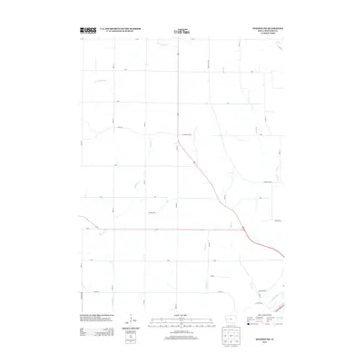
2013 Map of Denison SW
USGS Topo · Published 2013About this map
Boyer River drainage and the surrounding agricultural uplands dominate this Crawford County landscape, captured in a recent 2013 survey. The terrain is defined by a dense network of tributaries including the E Soldier River, Paradise Cr, and Willow Cr that carve through the section lines of western Iowa. A strictly organized grid of rural roads, such as Hanover Ave and Vernon Voss Rd, reveals the enduring structure of the Public Land Survey System, while unique deviations like Goodrich Loop trace the local topography. In the southeast corner, the intersection of Lincoln Way and Arrowhead Rd marks the approach to more developed areas, while the rest of the sheet remains dedicated to the region's vast field patterns and riparian corridors like Bear Cr and Buffalo Cr.
Find a feature on this map
34 named features on this map. Tap any name to fly to it.
Don’t see what you’re looking for? This feature index may not catch every label — zoom into the map to look around manually.
Map Details
Editions of this 2013 Denison SW Map
This is the sole edition of this map. No revisions or reprints were ever made.
Other maps of this area

1954 · Omaha
USGS Topo · 1:250,000

1954 · Fort Dodge
USGS Topo · 1:250,000

1957 · Omaha
USGS Topo · 1:250,000

1957 · Fort Dodge
USGS Topo · 1:250,000

1958 · Omaha
USGS Topo · 1:250,000

1958 · Fort Dodge
USGS Topo · 1:250,000

1971 · Ricketts
USGS Topo · 1:24,000

1971 · Schleswig
USGS Topo · 1:24,000

1971 · Earling NE
USGS Topo · 1:24,000

1971 · Denison
USGS Topo · 1:24,000