
1971 Map of Schleswig
USGS Topo · Published 1973About this map
Schleswig serves as the central hub of this agricultural landscape in Crawford County, where the topography is defined by the winding paths of the Soldier River and East Soldier River. The map documents a rural environment shaped by drainage patterns and early transit corridors, most notably the Old Railroad Grade that cuts across Morgan and Otter Creek townships. Genealogists will find significant local landmarks including Grant Cem in the north and Morgan Cem further south, providing a clear record of established family burial sites during the early 1970s. The small settlement of Wells and the network of waterways such as Big Otter Creek and Beaver Creek illustrate the historical reliance on local valley systems for both settlement and transport before more modern infrastructure predominated.
Find a feature on this map
15 named features on this map. Tap any name to fly to it.
Don’t see what you’re looking for? This feature index may not catch every label — zoom into the map to look around manually.
Map Details
Editions of this 1971 Schleswig Map
This is the sole edition of this map. No revisions or reprints were ever made.
Other maps of this area

1954 · Fort Dodge
USGS Topo · 1:250,000

1957 · Fort Dodge
USGS Topo · 1:250,000

1958 · Fort Dodge
USGS Topo · 1:250,000

1967 · Ida Grove
USGS Topo · 1:24,000

1967 · Battle Creek
USGS Topo · 1:24,000

1971 · Ricketts
USGS Topo · 1:24,000

1971 · Denison
USGS Topo · 1:24,000
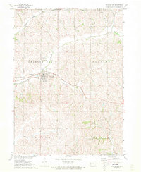
1971 · Charter Oak
USGS Topo · 1:24,000
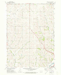
1971 · Denison SW
USGS Topo · 1:24,000

1971 · Kiron
USGS Topo · 1:24,000