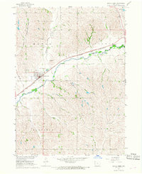
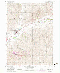
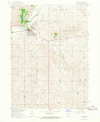
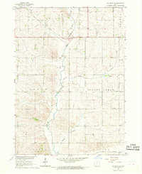
1967 Map of Battle Creek
USGS Topo · Published 1968About this map
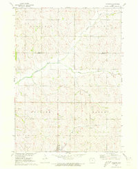
The Maple River valley defines this mid-century portrait of Ida County, where the town of Battle Creek serves as the central hub of activity. Situated at the junction of the Chicago and North Western railroad and several winding watercourses, the town's layout reflects a typical Midwestern rail-and-river economy. The presence of Mount Hope Cem and the County Fairground on the periphery suggests a well-established community center for the surrounding townships of Maple, Corwin, Garfield, and Grant.
Find a feature on this map
19 named features on this map. Tap any name to fly to it.
Don’t see what you’re looking for? This feature index may not catch every label — zoom into the map to look around manually.
Map Details
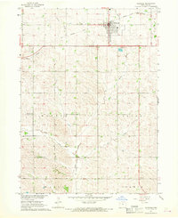
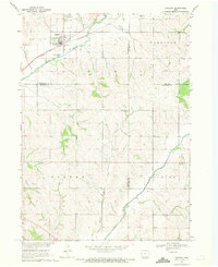
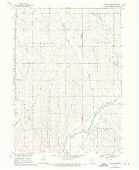
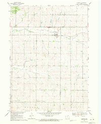
Editions of this 1967 Battle Creek Map
2 editions found
Other maps of this area

1954 · Fort Dodge
USGS Topo · 1:250,000

1957 · Fort Dodge
USGS Topo · 1:250,000

1958 · Fort Dodge
USGS Topo · 1:250,000
1967 · Holstein
USGS Topo · 1:24,000
1967 · Ida Grove
USGS Topo · 1:24,000
1967 · Ida Grove NW
USGS Topo · 1:24,000
1969 · Danbury
USGS Topo · 1:24,000
1969 · Holstein SW
USGS Topo · 1:24,000
1969 · Cushing
USGS Topo · 1:24,000
1971 · Ricketts
USGS Topo · 1:24,000