1967 Map of Battle Creek
USGS Topo · Published 1983About this map
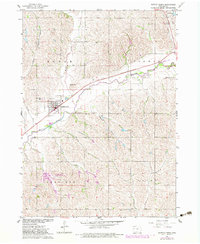
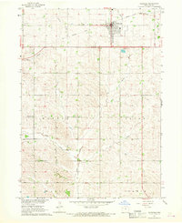
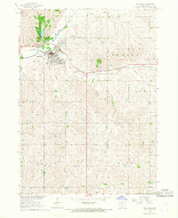
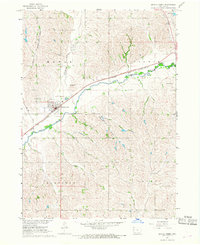
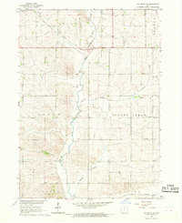
The Maple River winds through Ida County, creating a valley of fertile bottomlands that dictated the growth of Battle Creek. This mid-century survey captures the community's layout just as modern revisions were being mapped, showing the town's core near Hieber Park and the elevated Mount Hope Cem. A significant landscape feature is the Old Railroad Grade, which traces the historical path of transport along the northern riverbank through Corwin and Maple townships.
Find a feature on this map
21 named features on this map. Tap any name to fly to it.
Don’t see what you’re looking for? This feature index may not catch every label — zoom into the map to look around manually.
Map Details
Editions of this 1967 Battle Creek Map
2 editions found
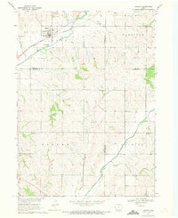
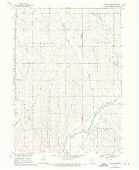
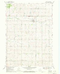
Other maps of this area

1954 · Fort Dodge
USGS Topo · 1:250,000

1957 · Fort Dodge
USGS Topo · 1:250,000

1958 · Fort Dodge
USGS Topo · 1:250,000
1967 · Holstein
USGS Topo · 1:24,000
1967 · Ida Grove
USGS Topo · 1:24,000
1967 · Battle Creek
USGS Topo · 1:24,000
1967 · Ida Grove NW
USGS Topo · 1:24,000
1969 · Danbury
USGS Topo · 1:24,000
1969 · Holstein SW
USGS Topo · 1:24,000
1969 · Cushing
USGS Topo · 1:24,000