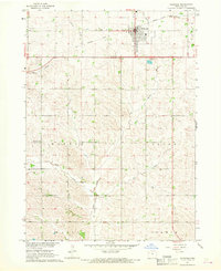
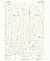
1967 Map of Holstein
USGS Topo · Published 1968About this map
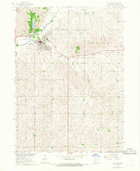
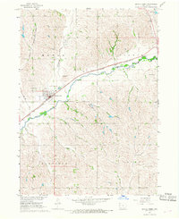
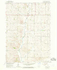
Holstein serves as the primary hub of this Ida County landscape, situated where the Chicago and North Western Railroad Grade parallels the northern township line. The surrounding terrain is defined by the branching tributaries of Battle Creek, including the West Fork Battle Creek and East Fork Battle Creek, which carve through the townships of Battle and Logan. This 1960s survey documents a settled agricultural region where community life is anchored by landmarks like the Battle Center Ch and dedicated burial grounds such as the Norwegian Cem and OLGC Cem. The map provides a detailed view of the local infrastructure during this period, from the Sewage Disposal Ponds near the town center to the Radio Tower on the southern edge of the quadrangle, reflecting the mid-century evolution of rural Iowa life.
Find a feature on this map
20 named features on this map. Tap any name to fly to it.
Don’t see what you’re looking for? This feature index may not catch every label — zoom into the map to look around manually.
Map Details
Editions of this 1967 Holstein Map
This is the sole edition of this map. No revisions or reprints were ever made.
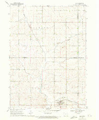
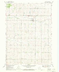
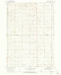
Other maps of this area

1954 · Fort Dodge
USGS Topo · 1:250,000

1957 · Fort Dodge
USGS Topo · 1:250,000

1958 · Fort Dodge
USGS Topo · 1:250,000
1967 · Ida Grove
USGS Topo · 1:24,000
1967 · Battle Creek
USGS Topo · 1:24,000
1967 · Ida Grove NW
USGS Topo · 1:24,000
1969 · Holstein SW
USGS Topo · 1:24,000
1969 · Galva
USGS Topo · 1:24,000
1969 · Cushing
USGS Topo · 1:24,000
1969 · Quimby SE
USGS Topo · 1:24,000