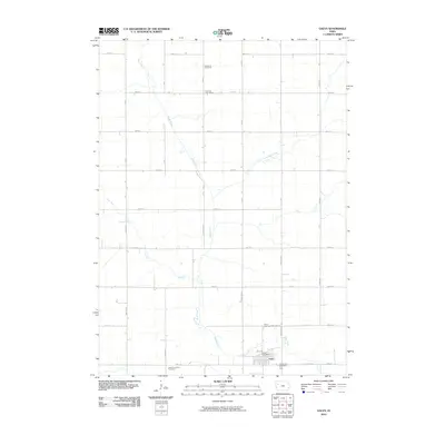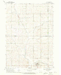
1969 Map of Galva
USGS Topo · Published 1971About this map
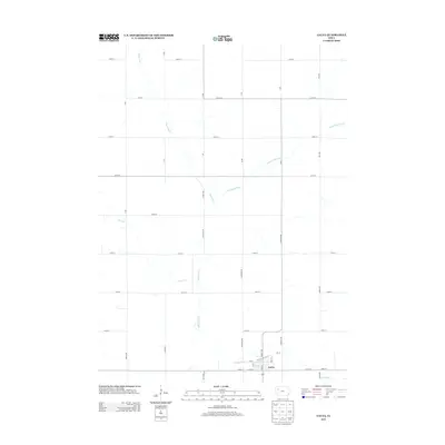
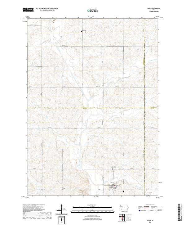
Galva sits as the primary rail hub in this corner of northwest Iowa, positioned where the Chicago and North Western railroad cuts across the agricultural landscape. The township is characterized by the broad Maple Valley, where the Maple River and its tributaries, the Little Maple River and Hog Run, carve drainage patterns through the productive farmland. Evidence of early settlement and community planning is scattered throughout the rural sections, including Diamond Cem, Lutheran Cem, and the Galva Township Cem. Outside the main town, the small locality of Halfway and several industrial Gravel Pits indicate the local economy and infrastructure of the late 1960s. This survey records a transition period for rural Ida County, documenting the precise placement of sections, farmsteads, and the essential water resources that supported the regional livestock and grain operations.
Find a feature on this map
22 named features on this map. Tap any name to fly to it.
Don’t see what you’re looking for? This feature index may not catch every label — zoom into the map to look around manually.
Map Details
Editions of this 1969 Galva Map
This is the sole edition of this map. No revisions or reprints were ever made.
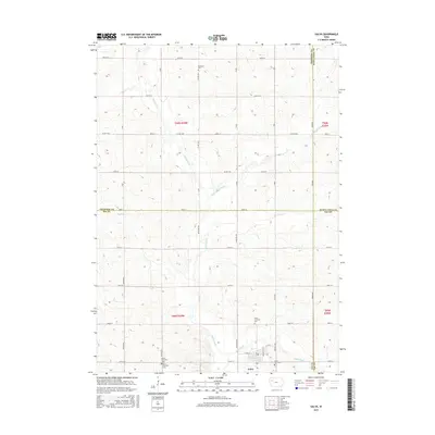
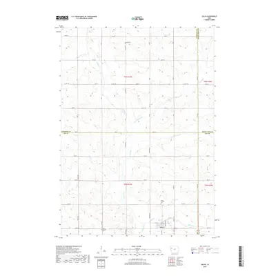
Historical Maps of Galva Through Time
6 maps found