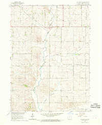
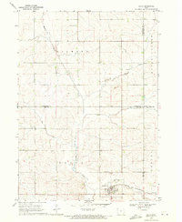
1967 Map of Ida Grove NW
USGS Topo · Published 1968About this map
The Maple River valley dictates the geography of this northwestern Iowa landscape, where the Chicago and North Western railway cuts across the northern reaches through Galva and Eureka townships. The map documents a deeply agricultural region at the end of the 1960s, defined by its drainage systems including Silver Creek and Buffalo Creek.
Find a feature on this map
18 named features on this map. Tap any name to fly to it.
Don’t see what you’re looking for? This feature index may not catch every label — zoom into the map to look around manually.
Map Details
Editions of this 1967 Ida Grove NW Map
This is the sole edition of this map. No revisions or reprints were ever made.
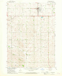
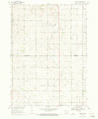
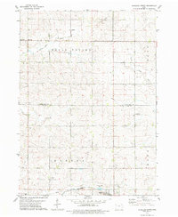
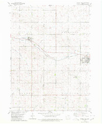
Other maps of this area

1954 · Fort Dodge
USGS Topo · 1:250,000

1957 · Fort Dodge
USGS Topo · 1:250,000

1958 · Fort Dodge
USGS Topo · 1:250,000
1967 · Holstein
USGS Topo · 1:24,000
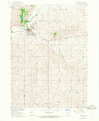
1967 · Ida Grove
USGS Topo · 1:24,000
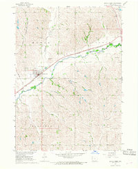
1967 · Battle Creek
USGS Topo · 1:24,000
1969 · Galva
USGS Topo · 1:24,000
1969 · Quimby SE
USGS Topo · 1:24,000
1979 · Schaller North
USGS Topo · 1:24,000
1980 · Odebolt West
USGS Topo · 1:24,000