
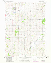
1969 Map of Danbury
USGS Topo · Published 1971About this map
Danbury stands at the confluence of the Maple River and several tributary creeks during the late 1960s, serving as a concentrated hub of settlement in a landscape defined by its river valleys. The town is marked by its position along the Chicago and North Western railroad and contains several local landmarks, including a designated Park and sewage disposal infrastructure.
Find a feature on this map
22 named features on this map. Tap any name to fly to it.
Don’t see what you’re looking for? This feature index may not catch every label — zoom into the map to look around manually.
Map Details
Editions of this 1969 Danbury Map
2 editions found
Other maps of this area

1954 · Fort Dodge
USGS Topo · 1:250,000

1957 · Fort Dodge
USGS Topo · 1:250,000

1958 · Fort Dodge
USGS Topo · 1:250,000

1967 · Battle Creek
USGS Topo · 1:24,000

1969 · Holstein SW
USGS Topo · 1:24,000

1969 · Mapleton
USGS Topo · 1:24,000
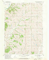
1969 · Correctionville SE
USGS Topo · 1:24,000
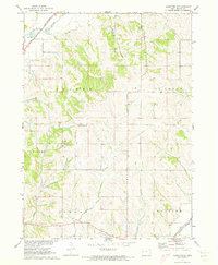
1971 · Mapleton SE
USGS Topo · 1:24,000

1971 · Ricketts
USGS Topo · 1:24,000

1971 · Ute
USGS Topo · 1:24,000