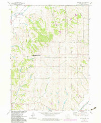
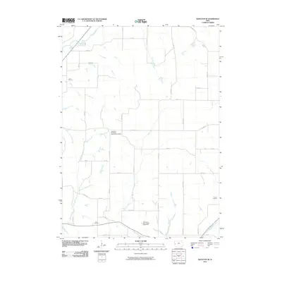
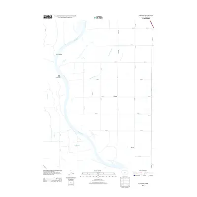
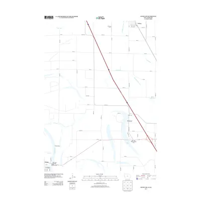
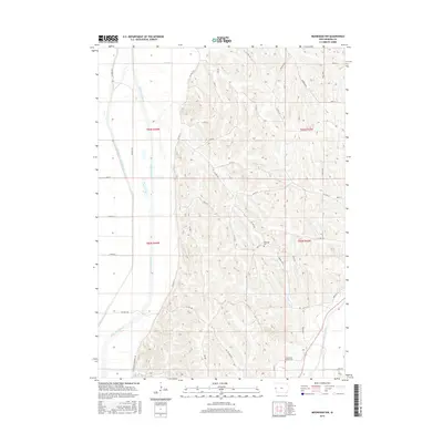
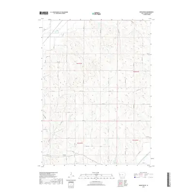
1971 Map of Mapleton SE
USGS Topo · Published 1973About this map
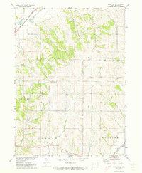
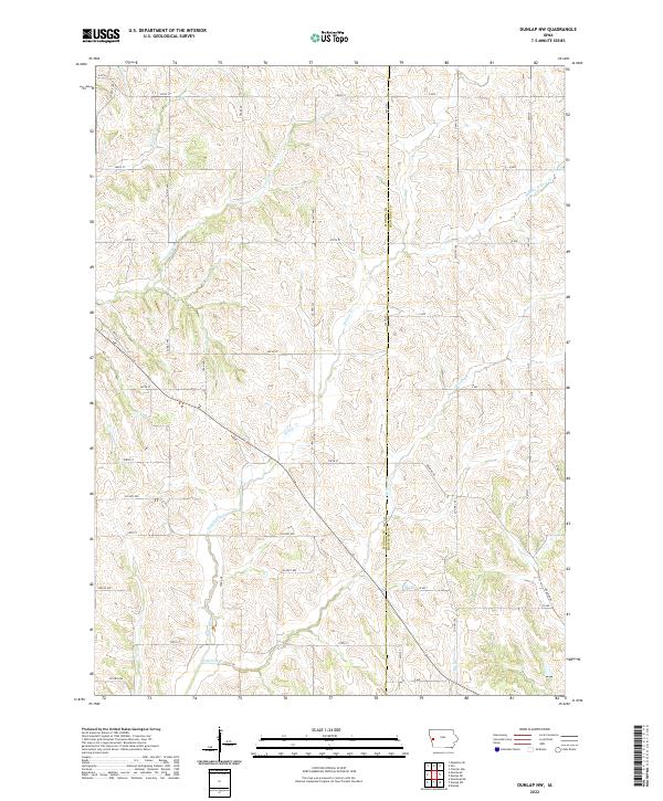
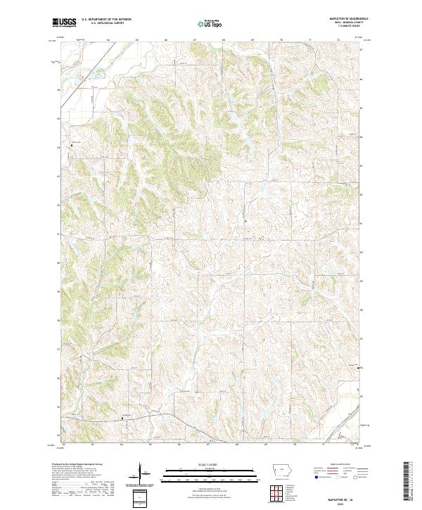
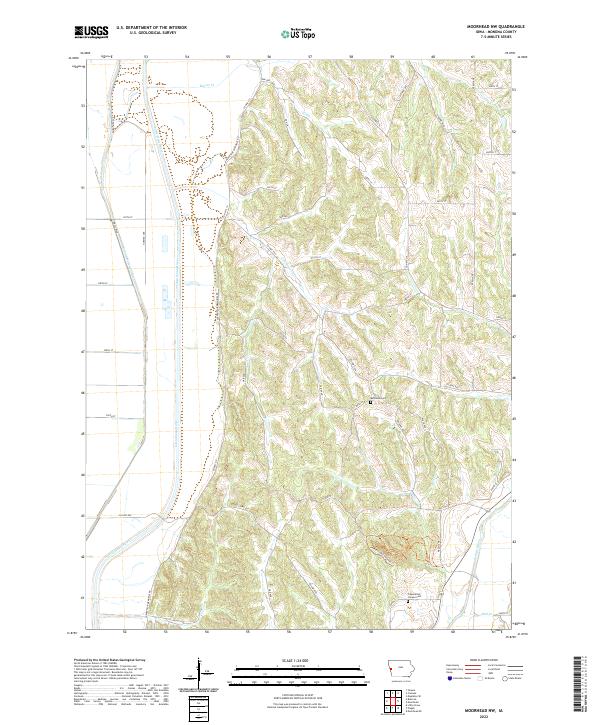
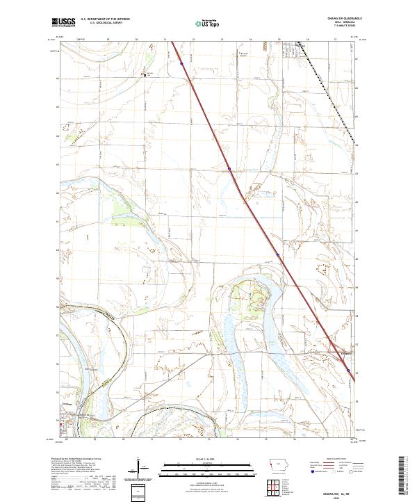
The Maple River valley and the high ground between it and the Soldier River define this rural Monona County landscape in the early 1970s. The northwest corner is marked by the presence of the Chicago and North Western railroad line, which follows the river's course past several Gravel Pits. Higher up in the township of Center, the Iowa State University Experimental Station stands as a focal point for agricultural study in the region. Local genealogy is anchored by several burial grounds including Center Cem, Jordan Cem, and Putman Cem. The terrain is dissected by numerous waterways such as McCleery Creek and Jordan Creek, illustrating the complex drainage patterns of the Loess Hills region prior to modern large-scale development.
Find a feature on this map
16 named features on this map. Tap any name to fly to it.
Don’t see what you’re looking for? This feature index may not catch every label — zoom into the map to look around manually.
Map Details
Editions of this 1971 Mapleton SE Map
2 editions found
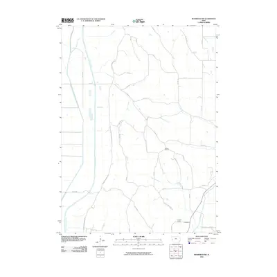
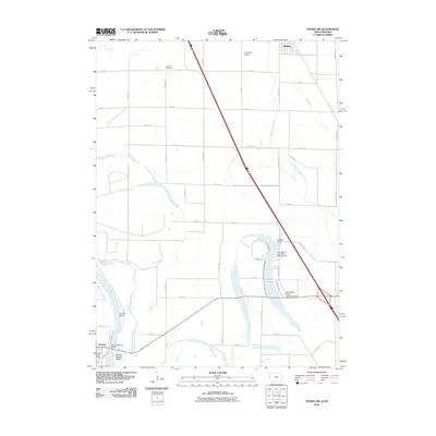
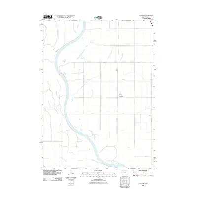
Historical Maps of Monona County Through Time
31 maps found
1969 Albaton
Monona County, IA
1969 Onawa SW
Monona County, IA
1971 Dunlap NW
Monona County, IA
1971 Mapleton SE
Monona County, IA
1971 Moorhead NW
Monona County, IA
1977 Albaton
Monona County, IA
2010 Dunlap NW
Monona County, IA
2010 Mapleton SE
Monona County, IA
2010 Moorhead NW
Monona County, IA
2010 Onawa SW
Monona County, IA
2012 Albaton
Monona County, IA
2013 Albaton
Monona County, IA
2013 Dunlap NW
Monona County, IA
2013 Mapleton SE
Monona County, IA
2013 Moorhead NW
Monona County, IA
2013 Onawa SW
Monona County, IA
2015 Albaton
Monona County, IA
2015 Dunlap NW
Monona County, IA
2015 Mapleton SE
Monona County, IA
2015 Moorhead NW
Monona County, IA
2015 Onawa SW
Monona County, IA
2018 Albaton
Monona County, IA
2018 Dunlap NW
Monona County, IA
2018 Mapleton SE
Monona County, IA
2018 Moorhead NW
Monona County, IA
2018 Onawa SW
Monona County, IA
2022 Albaton
Monona County, IA
2022 Dunlap NW
Monona County, IA
2022 Mapleton SE
Monona County, IA
2022 Moorhead NW
Monona County, IA
2022 Onawa SW
Monona County, IA