
1969 Map of Mapleton
USGS Topo · Published 1971About this map
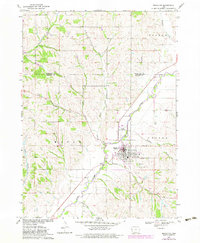
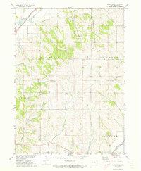
Mapleton serves as the central hub of this West Central Iowa landscape, situated at the confluence of several significant drainage systems and two major rail lines. The Maple River valley dominates the topography, drawing in numerous named tributaries including Simmons Creek, Dutch Creek, and Heisler Creek. The town is a literal crossroads of transportation and commerce, where the Chicago Milwaukee St Paul and Pacific and the Chicago and North Western railroads intersect. This 1969 survey captures the area’s civic infrastructure, from the Mapleton Municipal Airport to local sites of remembrance such as Mt Hope Cem and St Marys Cem. The surrounding townships of Maple, Cooper, Liston, and Ot O are defined by a network of drainage ways like Pumpkin Run and Parnell Creek, illustrating the intricate water system that has shaped the region's agricultural development.
Find a feature on this map
30 named features on this map. Tap any name to fly to it.
Don’t see what you’re looking for? This feature index may not catch every label — zoom into the map to look around manually.
Map Details
Editions of this 1969 Mapleton Map
2 editions found
Other maps of this area

1954 · Fort Dodge
USGS Topo · 1:250,000

1957 · Fort Dodge
USGS Topo · 1:250,000

1958 · Fort Dodge
USGS Topo · 1:250,000

1969 · Danbury
USGS Topo · 1:24,000

1969 · Holstein SW
USGS Topo · 1:24,000

1969 · Castana
USGS Topo · 1:24,000
1969 · Smithland
USGS Topo · 1:24,000
1969 · Oto
USGS Topo · 1:24,000
1969 · Correctionville SE
USGS Topo · 1:24,000
1971 · Mapleton SE
USGS Topo · 1:24,000