
1971 Map of Denison
USGS Topo · Published 1973About this map
The Boyer River corridor anchors this 1971 topographical survey, revealing a landscape defined by the intersection of major rail lines and rural agriculture. The county seat of Denison serves as the focal point, where the Illinois Central and Chicago and North Western railroads converge. This infrastructure supported a network of grain transport and local commerce, with the smaller settlement of Deloit situated to the north.
Find a feature on this map
46 named features on this map. Tap any name to fly to it.
Don’t see what you’re looking for? This feature index may not catch every label — zoom into the map to look around manually.
Map Details
Editions of this 1971 Denison Map
This is the sole edition of this map. No revisions or reprints were ever made.
Other maps of this area

1954 · Omaha
USGS Topo · 1:250,000

1954 · Fort Dodge
USGS Topo · 1:250,000

1957 · Omaha
USGS Topo · 1:250,000

1957 · Fort Dodge
USGS Topo · 1:250,000

1958 · Omaha
USGS Topo · 1:250,000

1958 · Fort Dodge
USGS Topo · 1:250,000

1971 · Schleswig
USGS Topo · 1:24,000

1971 · Earling NE
USGS Topo · 1:24,000
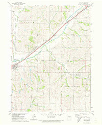
1971 · Dow City
USGS Topo · 1:24,000
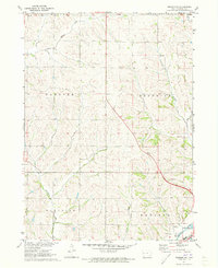
1971 · Denison SW
USGS Topo · 1:24,000