Old Maps of Linn Township, Iowa for Academic Research
Study the evolution of Linn Township with 32 high-resolution historic maps. Whether you're teaching, researching, or modeling changes in land use, these maps provide essential visual documentation of urban, environmental, and geographic change.
- Analyze long-term change: Track patterns in development, transportation, and natural features.
- Ideal for environmental or urban studies: Support academic projects with primary historical map data.
- Use in the classroom or lab: Educators and researchers rely on these maps to bring historical context to life.
These maps are a powerful tool for teaching, research, and visualizing how Linn Township has changed over the decades.
Linn Township, IA maps
(32)- 1949 Map of Adel, 1955 Print
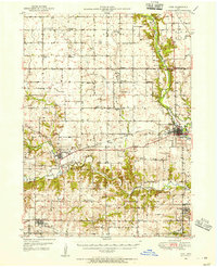 1949 Adel1955 Print · USGSDallas County in the late 1940s is captured here at a moment when rural school districts and family-named corners still defined the Iowa countryside. Genealogists and historians can trace the foundations of Adel and Wiscotta, or locate landmarks like Blacks Corners and Oakland Cem.3 unique versions available
 - 1951 Map of Adel
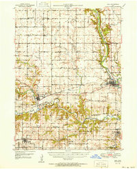 1951 Adel1951 Print · USGSMid-century Dallas County is defined by the convergence of the three Raccoon River forks and a robust network of rural rail towns. Genealogists can trace family roots at Oakland Cem or Pleasant Hill Cem and locate historic rural schools like Bear Creek Sch.2 unique versions available
 - 1952 Map of Panora, 1954 Print
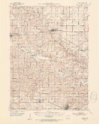 1952 Panora1954 Print · USGSGuthrie County and parts of Adair and Dallas counties are shown here in the early 1950s as a thriving rail and river corridor. Genealogists can trace family roots through several rural churches and schools like Victory Union Church, Pioneer Sch, and Rosehill Cem.2 unique versions available
 - 1954 Map of Omaha, 1967 Print
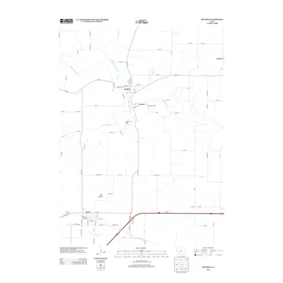
 1954 Omaha1967 Print · USGSMid-century development radiates from the river bluffs into the agricultural heartland during this period of post-war growth. Genealogists and historians can trace rail-connected towns like Atlantic and Red Oak or locate the sprawling grounds of Offutt Air Force Base and Manawa Lake.3 unique versions available
 - 1957 Map of Omaha
 1957 Omaha1957 Print · USGSWestern Iowa and the Missouri River valley are seen here in the mid-fifties during the height of the rail-and-road era. Researchers can trace the sprawling rail lines of the Chicago And North Western or locate Cold War landmarks like Offutt Air Force Base.
 - 1958 Map of Omaha
 1958 Omaha1958 Print · USGSOmaha and Council Bluffs stand at the center of this mid-fifties landscape, where the Missouri River splits the urban plains of Nebraska from the rolling hills of western Iowa. Genealogists can trace the rail lines of the Wabash RR and Illinois Central RR to rural settlements like Missouri Valley and Red Oak.2 unique versions available
 - 1982 Map of Panora, 1983 Print
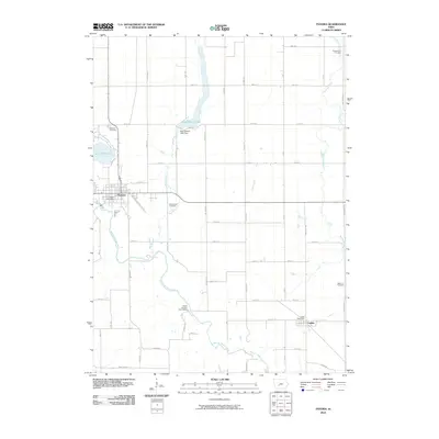
 1982 Panora1983 Print · USGSGuthrie County during the early eighties shows a transition from traditional rail-corridor farming to lakeside recreation. Trace family history at Greenwood Cem or follow the Chicago and North Western line through Panora and Linden.
 - 1982 Map of Redfield, 1983 Print
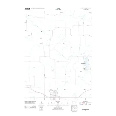
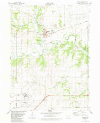 1982 Redfield1983 Print · USGSRedfield and Dexter flourished as rail and river towns in the early 1980s, serving as industrial and agricultural centers for Dallas County. Genealogists and historians can trace local family lineages through several rural burial grounds, including Harper Cem, Spillers Cem, and the historic Bear Creek Ch.
 - 1982 Map of Stuart North, 1983 Print
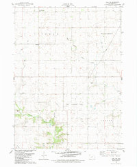
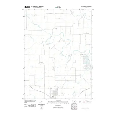
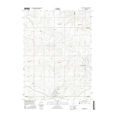
 1982 Stuart North1983 Print · USGSGuthrie and Adair counties come into focus in the early eighties as the rail-and-river economy centers on the town of Stuart. Researchers can trace the path of the Iowa Railroad or locate family plots at Morrisburg Cem and North Oak Grove Cem.
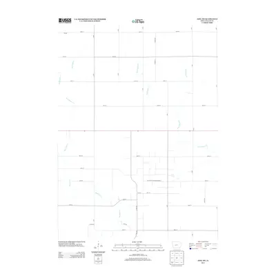
 - 1982 Map of Adel NW, 1983 Print
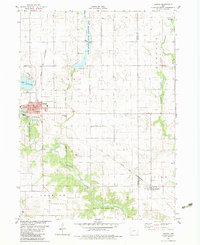
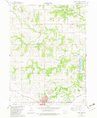
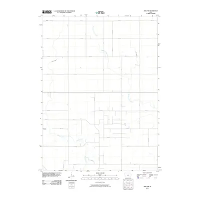
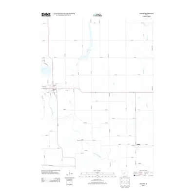
 1982 Adel NW1983 Print · USGSDallas County agriculture and energy infrastructure meet in the early eighties as rural townships transition toward modern utility roles. Genealogists and local historians can trace the West Linn Cem, visit the Shiloh Bible Ch, and locate the old Linden settlement.
 - 1984 Map of Guthrie Center, 1985 Print
 1984 Guthrie Center1985 Print · USGSWest-central Iowa's river valleys and farming townships are shown here in the mid-1980s, highlighting a network of conservation areas and historic rail towns. Genealogists and local historians can locate Violet Hill Cem, trace the Chicago and North Western railroad, or explore the grounds of Springbrook State Park.
 - 1993 Map of Guthrie Center
 1993 Guthrie Center1993 Print · USGSWestern Iowa in the early 1990s showcases a network of river-valley towns and essential rail corridors. Researchers can trace local landmarks like Violet Hill Cem and the Chicago and North Western RR through Coon Rapids and Panora.
 - 2010 Map of Redfield, 2010 Print
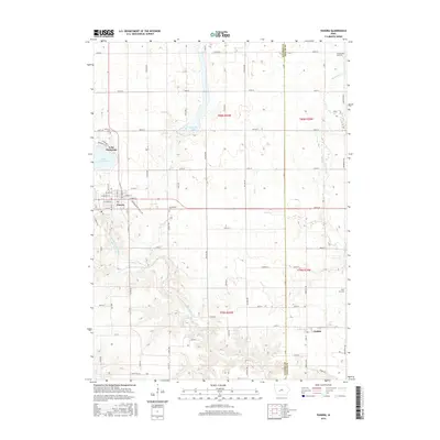
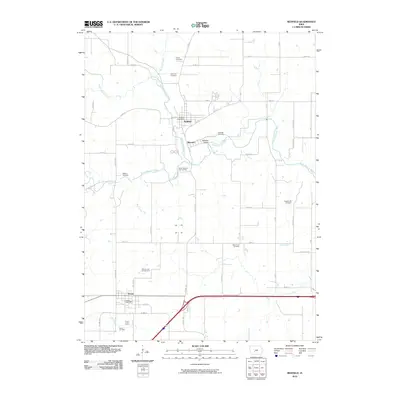 2010 Redfield2010 Print · USGSCovers Linn Township, including Earlham, Redfield, and other nearby areas
 - 2010 Map of Adel NW, 2010 Print
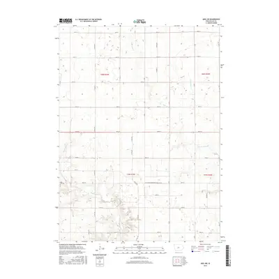
 2010 Adel NW2010 Print · USGSCovers Linn Township, including Washington Township, Lincoln Township, and other nearby areas
 - 2010 Map of Panora, 2010 Print
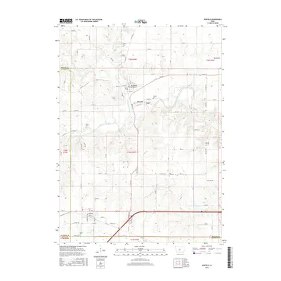
 2010 Panora2010 Print · USGSCovers Linn Township, including Panora, Linden, and other nearby areas
 - 2010 Map of Stuart North, 2010 Print
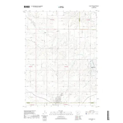
 2010 Stuart North2010 Print · USGSCovers Linn Township, including Stuart, Stuart Township, and other nearby areas
 - 2013 Map of Redfield, 2013 Print
 2013 Redfield2013 Print · USGSCovers Linn Township, including Earlham, Redfield, and other nearby areas
 - 2013 Map of Stuart North, 2013 Print
 2013 Stuart North2013 Print · USGSCovers Linn Township, including Stuart, Stuart Township, and other nearby areas
 - 2013 Map of Panora, 2013 Print
 2013 Panora2013 Print · USGSCovers Linn Township, including Panora, Linden, and other nearby areas
 - 2013 Map of Adel NW, 2013 Print
 2013 Adel NW2013 Print · USGSCovers Linn Township, including Washington Township, Lincoln Township, and other nearby areas
 - 2015 Map of Stuart North, 2015 Print
 2015 Stuart North2015 Print · USGSCovers Linn Township, including Stuart, Stuart Township, and other nearby areas
 - 2015 Map of Adel NW, 2015 Print
 2015 Adel NW2015 Print · USGSCovers Linn Township, including Washington Township, Lincoln Township, and other nearby areas
 - 2015 Map of Redfield, 2015 Print
 2015 Redfield2015 Print · USGSCovers Linn Township, including Earlham, Redfield, and other nearby areas
 - 2015 Map of Panora, 2015 Print
 2015 Panora2015 Print · USGSCovers Linn Township, including Panora, Linden, and other nearby areas
 - 2018 Map of Stuart North, 2018 Print
 2018 Stuart North2018 Print · USGSCovers Linn Township, including Stuart, Stuart Township, and other nearby areas
Showing maps 1-25 of 32
Top cities near Linn Township
- Perry historical maps
- Adel historical maps
- Dallas Center historical maps
- Stuart historical maps
- Earlham historical maps
- Panora historical maps
See more
Top neighborhoods of Linn Township
Frequently asked questions
- What are the different types of historical maps available for Linn Township?
- What is the oldest map of Linn Township?
- Where can I purchase historical maps of Linn Township for my home or office?
- Where can I download high-res historical maps of Linn Township?
- Are there historical topographic maps available for Linn Township?
- Is there historical aerial imagery available for Linn Township?
- Where are historical maps of Linn Township sourced from?