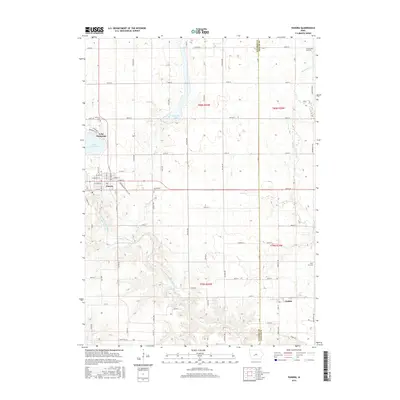
2015 Map of Panora
USGS Topo · Published 2015About this map
The Middle Raccoon River carves a winding path through this portion of Guthrie County, defining the local landscape between the towns of Panora and Linden. The area is characterized by significant water features, most notably the large expanse of Lake Panorama and the smaller Bays Br Lake to its northeast. The terrain shows a shift from the developed streets of Panora, including W Market St and E Main St, to the rural agricultural grid marked by numerous section roads like 180th St and 250th St.
Find a feature on this map
50 named features on this map. Tap any name to fly to it.
Don’t see what you’re looking for? This feature index may not catch every label — zoom into the map to look around manually.
Map Details
Editions of this 2015 Panora Map
This is the sole edition of this map. No revisions or reprints were ever made.
Other maps of this area

1949 · Adel
USGS Topo · 1:62,500

1950 · Perry
USGS Topo · 1:62,500

1951 · Perry
USGS Topo · 1:62,500

1951 · Adel
USGS Topo · 1:62,500

1952 · Panora
USGS Topo · 1:62,500

1954 · Bagley
USGS Topo · 1:62,500

1954 · Omaha
USGS Topo · 1:250,000

1957 · Omaha
USGS Topo · 1:250,000

1958 · Omaha
USGS Topo · 1:250,000

1982 · Guthrie Center East
USGS Topo · 1:24,000