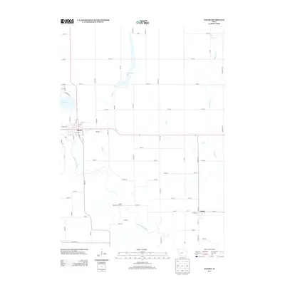
2013 Map of Panora
USGS Topo · Published 2013About this map
Panora sits at the intersection of Iowa Highway 4 and Highway 44, serving as a gateway to the diverse water systems of Guthrie County. The landscape is defined by the winding course of the Middle Raccoon River and the engineered waters of Lake Panorama to the west. To the north, Bays Branch Lake dominates the drainage basin for Bay Br, illustrating a transition from the natural river valley to managed water resources.
Find a feature on this map
71 named features on this map. Tap any name to fly to it.
Don’t see what you’re looking for? This feature index may not catch every label — zoom into the map to look around manually.
Map Details
Editions of this 2013 Panora Map
This is the sole edition of this map. No revisions or reprints were ever made.
Other maps of this area

1949 · Adel
USGS Topo · 1:62,500

1950 · Perry
USGS Topo · 1:62,500

1951 · Perry
USGS Topo · 1:62,500

1951 · Adel
USGS Topo · 1:62,500

1952 · Panora
USGS Topo · 1:62,500

1954 · Bagley
USGS Topo · 1:62,500

1954 · Omaha
USGS Topo · 1:250,000

1957 · Omaha
USGS Topo · 1:250,000

1958 · Omaha
USGS Topo · 1:250,000

1982 · Guthrie Center East
USGS Topo · 1:24,000