1900s (20th Century) Maps of Davis County, Iowa
Explore 25 historic maps of Davis County from the 1900s (20th Century). These maps offer a rare glimpse into what life looked like during the 1900s — showing old roads, neighborhoods, homes, and landmarks that have changed or disappeared over time.
Whether you're researching your family's past, planning a metal detecting trip, or studying how Davis County's landscape evolved across the 1900s, these high-resolution maps are a powerful tool for exploring the history of this region.
- Focus on a specific era: All maps on this page are from the 1900s, giving you a focused view of this time period.
- See what’s changed: Compare century-old streets, trails, and buildings to today's modern landscape using overlays and satellite layers.
- Research with precision: Use these maps for genealogy, historical research, land use analysis, or educational projects.
- View, download, or print: Maps are fully viewable online in high resolution, and can be downloaded or printed for your own records.
Start exploring Davis County's history through authentic maps from the 1900s. This is your window into the past.
Davis County, IA maps
(25)- 1954 Map of Centerville, 1967 Print
 1954 Centerville1967 Print · USGSThe Iowa-Missouri borderlands at mid-century reveal a landscape shaped by river valleys and the height of the regional rail network. Genealogists and historians can trace the paths of the Wabash railroad and locate old townsites like Mystic, Moulton, and Greentop.3 unique versions available
 - 1956 Map of Agency, 1958 Print
 1956 Agency1958 Print · USGSSoutheastern Iowa's river valleys and rail lines come alive in this mid-century portrait of Wapello County. Researchers can trace rural life through numerous one-room schoolhouses like O'Connor Sch and historic sites such as Alpine Log Ch.2 unique versions available
 - 1956 Map of Ottumwa South, 1958 Print
 1956 Ottumwa South1958 Print · USGSSouthern Iowa rural life and the outskirts of Ottumwa are captured in the mid-fifties, before modern development reshaped the county lines. Genealogists can trace family footprints at Shaul Cem or Ormanville, and locate numerous vanished rural schoolhouses like Ogg Sch and Union Sch.2 unique versions available
 - 1956 Map of Ottumwa South, 1958 Print
 1956 Ottumwa South1958 Print · USGSSouthern Iowa in the mid-fifties reveals a landscape of transition where rural schoolhouses and busy rail lines connected small farming communities. Researchers can trace family history at sites like Mars Hill Ch, Lester Cem, and the old rail stop at Drakesville (Station).2 unique versions available
 - 1957 Map of Centerville
 1957 Centerville1957 Print · USGSThe Iowa-Missouri borderlands in the mid-fifties reveal a landscape of river-valley agriculture and vital rail corridors. Genealogists and historians can trace family-named landmarks and small-town growth in Centerville, Kirksville, and along the Wabash railroad line.
 - 1958 Map of Centerville
 1958 Centerville1958 Print · USGSThe Iowa-Missouri borderlands come into focus during the mid-fifties, showing a landscape defined by river valleys and intersecting rail lines. Genealogists and local historians can trace family roots through dozens of rural hubs like Bloomfield, Unionville, and Corydon.
 - 1965 Map of Eldon, 1966 Print
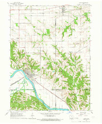 1965 Eldon1966 Print · USGSSoutheast Iowa in the mid-sixties reveals a landscape shaped by the Des Moines River and a complex network of rail lines. Researchers can locate family sites at Gontermand Cem, trace the Old Railroad Grade, or explore the riverfront at Eldon.
 - 1965 Map of Selma, 1966 Print
 1965 Selma1966 Print · USGSSoutheast Iowa's rural townships are documented here during the mid-sixties, centered on the Selma riverfront and the surrounding family farms. Researchers can trace ancestral roots through dozens of local landmarks like Bethlehem Ch, Valley Sch, and Troy Cem.
 - 1968 Map of Blakesburg NE, 1971 Print
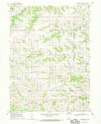 1968 Blakesburg NE1971 Print · USGSSoutheast Iowa's rural townships in the late sixties remain centered around small parish churches and meandering creek beds. Trace local family history through the Jay Cem and Hopewell Cem, or follow the Milwaukee Road rail line.
 - 1968 Map of Unionville, 1971 Print
 1968 Unionville1971 Print · USGSAppanoose and Davis counties are captured in the late sixties as a landscape of rural townships and rail corridors. Researchers can trace the legacy of local families at Eaton Cem and Taylor Cem or follow the route of the Old Railroad Grade.
 - 1968 Map of Blakesburg, 1971 Print
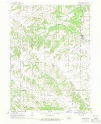 1968 Blakesburg1971 Print · USGSSouthern Iowa farm country and the town of Blakesburg appear here in the late sixties at a rare juncture of four counties. Genealogists can trace family names through rural landmarks like Eslinger Cem, Trussell Cem, and the Union Chapel school and church area.2 unique versions available
 - 1968 Map of Paris, 1971 Print
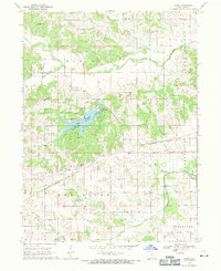 1968 Paris1971 Print · USGSDavis County's rural landscape is captured here in the late sixties, centered on the newly developed recreation areas around Wapello Lake. Researchers can trace old family roots at Paris Cem, Glassburner Cem, or Wesley Chapel Cem.
 - 1970 Map of Brock, 1972 Print
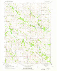 1970 Brock1972 Print · USGSThe Missouri-Iowa borderlands come into focus in the early 1970s, showing a rural landscape defined by the winding forks of the Wyaconda River. Genealogists can trace family heritage through numerous burial sites like Hubbard Cem, Trinity Cem, and the small settlement at Brock.
 - 1970 Map of Milton, 1972 Print
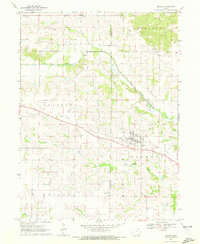 1970 Milton1972 Print · USGSMilton and Troy sit along the Davis and Van Buren county line during the early 1970s, a landscape shaped by prairie farming and seasonal river flows. Local historians can trace the Old Railroad Grade past Plainview Sch and find family names near Oak Point Cem.
 - 1979 Map of West Grove, 1980 Print
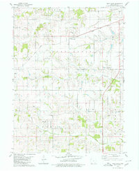 1979 West Grove1980 Print · USGSDavis County's agricultural heartland is documented in the late 1970s, showing the intersection of rail transit and rural life. Researchers can locate numerous family burial sites such as Hetzler Cem and Morgan Cem or trace the Norfolk and Western line through West Grove.
 - 1979 Map of Floris, 1980 Print
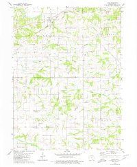 1979 Floris1980 Print · USGSDavis County in the late 1970s reveals a landscape of small rural settlements and deep creek valleys centered on the town of Floris. Researchers can trace the Chicago Rock Island and Pacific rail line and locate numerous family landmarks like Shuom Cem and Locust Grove Ch.2 unique versions available
 - 1979 Map of Pulaski, 1980 Print
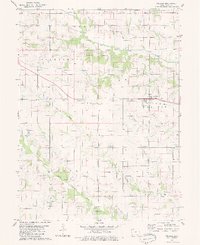 1979 Pulaski1980 Print · USGSSouthern Davis County was a landscape of quiet township crossroads and river valleys in the late 1970s. Researchers can locate family roots at Union Cem, trace the defunct Old RR Grade, or find the Wanetta Sch near Stiles.
 - 1979 Map of Lancaster, 1980 Print
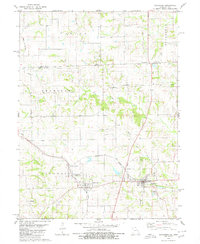 1979 Lancaster1980 Print · USGSSchuyler County and the Iowa borderlands appear in the late seventies as a landscape shaped by competing rail lines and river forks. Genealogists can trace family footprints through several rural burial grounds like Washington Cem and Liberty Cem or the rail junction at Glenwood Junction.
 - 1979 Map of Bloomfield South, 1980 Print
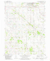 1979 Bloomfield South1980 Print · USGSThe southern outskirts of the Davis County seat are captured in the late seventies, showing the landscape between the South Wyaconda River and Fabius R. Genealogists can locate several family and community burial sites, including Bloomfield South Cem and Insweep Cem.2 unique versions available
 - 1979 Map of Coatsville, 1980 Print
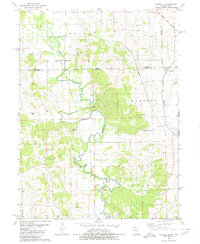 1979 Coatsville1980 Print · USGSThe Missouri-Iowa border comes into focus in the late 1970s, showing a landscape defined by the winding Chariton River and rural rail lines. Genealogists can locate numerous burial grounds and remote landmarks like Pleasant Grove Cem, Coal City, and Hilltown Ch.
 - 1979 Map of Moulton, 1980 Print
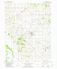 1979 Moulton1980 Print · USGSAppanoose County agricultural life and rail infrastructure are captured here in the late seventies. Genealogists can locate several family landmarks including Orleans Cem and Garland Cem, or trace the path of the Burlington Northern railroad.
 - 1980 Map of Bloomfield North
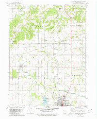 1980 Bloomfield North1980 Print · USGSDavis County's northern townships are captured here in the late twentieth century, showing the rural landscape surrounding the county seat. Genealogists can trace family landmarks like Dunnville Ch, the Odd Fellows Cem, and the rail junction at Belknap.2 unique versions available
 - 1980 Map of Kilwinning
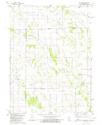 1980 Kilwinning1980 Print · USGSThe Missouri-Iowa border comes alive in this late-century survey of Scotland and Schuyler Counties. Researchers can trace rural lineages through numerous country burial grounds and community centers like Sacred Heart Cem, Barker Ch, and Wanetta Corner.
 - 1980 Map of Bunker Hill
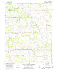 1980 Bunker Hill1980 Print · USGSThe Missouri-Iowa state line at the start of the 1980s reveals a rural landscape shaped by the North Fabius River and its many branches. Genealogists can trace family connections through local landmarks like Darby Ch, Walker Chapel Cem, and the small settlement of Savannah.
 - 1981 Map of Centerville, 1982 Print
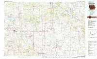 1981 Centerville1982 Print · USGSThe borderlands of southern Iowa and northern Missouri are captured here in the early eighties as Rathbun Lake and the Chariton River define the local geography. Researchers can trace historic rail lines like the Norfolk and Western and locate vanished hamlets such as Coal City and Glenwood Junction.
End of results
Showing maps 1-25 of 25
Top cities of Davis County
Frequently asked questions
- What are the different types of historical maps available for Davis County?
- What is the oldest map of Davis County?
- Where can I purchase historical maps of Davis County for my home or office?
- Where can I download high-res historical maps of Davis County?
- Are there historical topographic maps available for Davis County?
- Is there historical aerial imagery available for Davis County?
- Where are historical maps of Davis County sourced from?