2000s (21st Century) Maps of Davis County, Iowa
Explore 100 historic maps of Davis County from the 2000s (21st Century). These maps offer a rare glimpse into what life looked like during the 2000s — showing old roads, neighborhoods, homes, and landmarks that have changed or disappeared over time.
Whether you're researching your family's past, planning a metal detecting trip, or studying how Davis County's landscape evolved across the 2000s, these high-resolution maps are a powerful tool for exploring the history of this region.
- Focus on a specific era: All maps on this page are from the 2000s, giving you a focused view of this time period.
- See what’s changed: Compare century-old streets, trails, and buildings to today's modern landscape using overlays and satellite layers.
- Research with precision: Use these maps for genealogy, historical research, land use analysis, or educational projects.
- View, download, or print: Maps are fully viewable online in high resolution, and can be downloaded or printed for your own records.
Start exploring Davis County's history through authentic maps from the 2000s. This is your window into the past.
Davis County, IA maps
(100)- 2010 Map of Moulton, 2010 Print
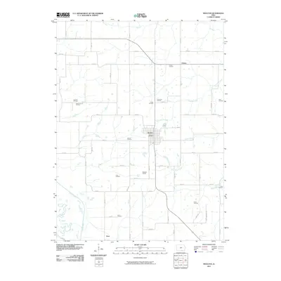 2010 Moulton2010 Print · USGSSouthern Iowa's rural character is well preserved here at the start of the 2010s, centered on the historic town of Moulton. Genealogists and local historians can trace family ties through over a dozen rural burial sites, including Garland Cemetery, Croft Cemetery, and Otterbein Cemetery.
 - 2010 Map of Selma, 2010 Print
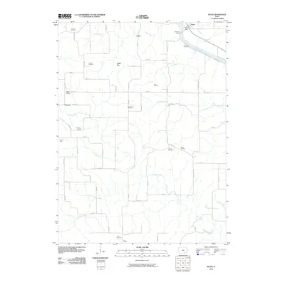 2010 Selma2010 Print · USGSVan Buren County at the start of the millennium remains a landscape of quiet rural settlements and established family burial grounds. Genealogists can trace local history through numerous sites like Glasgow Cemetery, Passmore Cemetery, and the community of Selma along the Des Moines River.
 - 2010 Map of Bloomfield South, 2010 Print
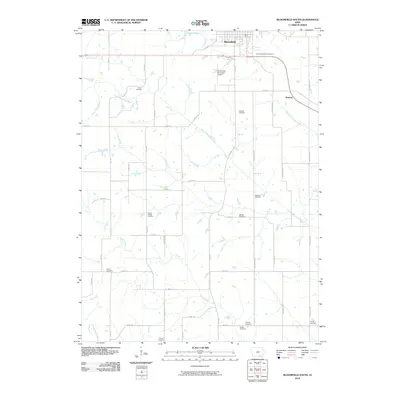 2010 Bloomfield South2010 Print · USGSSouthern Davis County at the turn of the 21st century remains a landscape of quiet section roads and winding river bottoms. Genealogists can trace family roots through an exceptional density of rural burial sites, including Pollard Cemetery, Wesley Chapel Cemetery, and Davies Cemetery.
 - 2010 Map of Pulaski, 2010 Print
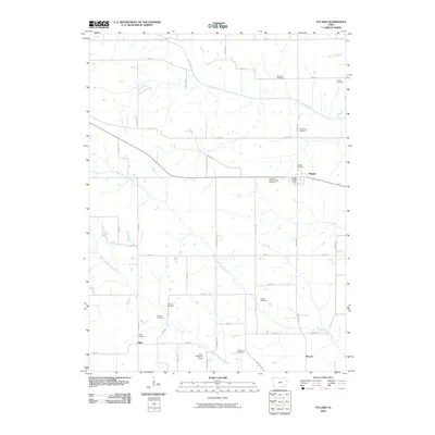 2010 Pulaski2010 Print · USGSSouthern Iowa's rural Davis County is captured here in the early twenty-first century, showing a landscape defined by meandering rivers and agricultural heritage. Researchers can trace family history through numerous burial sites including Knights of Pythias Lodge Cemetery and the Armstrong Cemetery.
 - 2010 Map of Kilwinning, 2010 Print
 2010 Kilwinning2010 Print · USGSThe Missouri-Iowa borderlands come to life in this 2010 survey of the rural Scotland County countryside. Researchers can trace local heritage through burial sites like Sacred Heart Cemetery or find historic community hubs such as Four Corners Community Hall and Kilwinning.
 - 2010 Map of Ottumwa South, 2010 Print
 2010 Ottumwa South2010 Print · USGSOttumwa and its southern environs appear here at the start of the decade, where the Des Moines River bends through the Iowa heartland. Genealogists can locate numerous small burial sites like the Point Isabel Cemetery, Zion Cemetery, and the Ormanville Cemetery.
 - 2010 Map of Bunker Hill, 2010 Print
 2010 Bunker Hill2010 Print · USGSDavis County's borderlands are detailed here in the early twenty-first century, showing a rural landscape of family cemeteries and small creek-side settlements. Genealogists can trace family landmarks like Bridwell Cemetery or locate the community at Lunsford.
 - 2010 Map of West Grove, 2010 Print
 2010 West Grove2010 Print · USGSDavis County in the early twenty-first century remains a landscape of deep family roots and small farming hamlets. Genealogists can locate over a dozen small burial grounds including West Grove and Mount Moriah near the North Fabius River.
 - 2010 Map of Milton, 2010 Print
 2010 Milton2010 Print · USGSSouthern Iowa's rural landscape is captured here in the early twenty-first century, centered on the historic community of Milton. Genealogists can trace family roots through a high concentration of burial sites like Stookesberry Cemetery, Oaks Cemetery, and the Amish Mennonite Church Cemetery.
 - 2010 Map of Lancaster, 2010 Print
 2010 Lancaster2010 Print · USGSSchuyler County at the start of the 2010s reveals a landscape of enduring rural settlements and ancestral burial grounds. Genealogists can trace family locations near the Independent Order of Odd Fellows Cemetery, Glenwood, and Ursel Gingerich Lake.
 - 2010 Map of Eldon, 2010 Print
 2010 Eldon2010 Print · USGSThe Des Moines River valley in Wapello County is captured here in the early 2000s, centered on the historic river town of Eldon. Researchers can trace old family burial grounds and civic landmarks like the Wapello County Fairgrounds, Iowaville Cemetery, and Ashland.
 - 2010 Map of Blakesburg NE, 2010 Print
 2010 Blakesburg NE2010 Print · USGSWapello County's agricultural heartland is documented here in the early twenty-first century. Genealogists and local historians can locate numerous small burial sites like Abegg Cemetery and Wellman Cemetery or trace the course of Little Soap Creek.
 - 2010 Map of Floris, 2010 Print
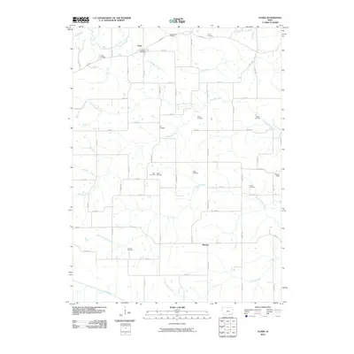 2010 Floris2010 Print · USGSThis rural corner of Davis County is captured in the early 2000s, showcasing a landscape defined by the winding waters of Chequest Creek. Local historians can trace established homesteads near the Floris Post Office or locate numerous burial sites like the Odd Fellows Cemetery and Shunem Cemetery.
 - 2010 Map of Unionville, 2010 Print
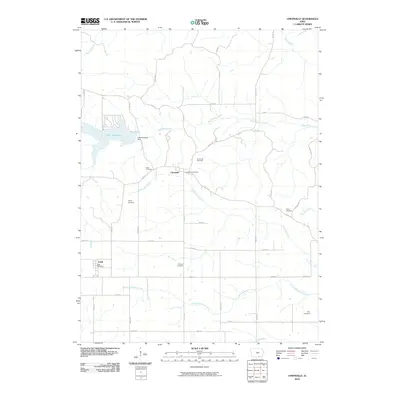 2010 Unionville2010 Print · USGSSouthern Iowa's rural character is on display here at the start of the 2010s, centered on the historic settlements of Unionville and Udell. Genealogists and local researchers can trace early family sites through numerous burial grounds like Fairview Cemetery and Pelly Cemetery.
 - 2010 Map of Bloomfield North, 2010 Print
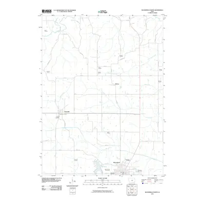 2010 Bloomfield North2010 Print · USGSThe rural landscapes of Davis County come into focus in this early twenty-first-century survey of the northern Bloomfield area. Genealogists can locate numerous historic burial sites like Kingdom Cemetery and Odd Fellows Cemetery while tracing the routes through Drakesville and Belknap.
 - 2010 Map of Brock, 2010 Print
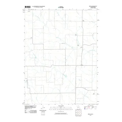 2010 Brock2010 Print · USGSScotland County, Missouri, is captured in this modern survey as a landscape of river valleys and enduring family heritage. Genealogists can trace local roots through numerous sites like North Bethel Cemetery, Curtiss Cemetery, and the community of Brock.
 - 2010 Map of Coatsville, 2010 Print
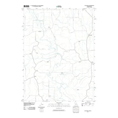 2010 Coatsville2010 Print · USGSThe Missouri-Iowa borderlands near Coatsville are shown here as they appeared in 2010. Genealogists can trace a remarkable number of local burial sites, including Hilltown Cemetery, Hargrave Cemetery, and the river-adjacent Dean Cemetery.
 - 2010 Map of Paris, 2010 Print
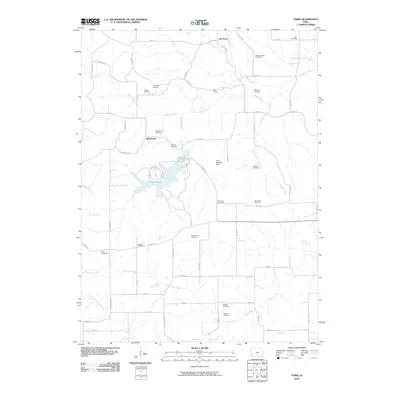 2010 Paris2010 Print · USGSDavis County's rural landscape is captured here in the early twenty-first century, centered on the waters of Lake Wapello. Genealogists can trace numerous family burial sites, including the Glassburner Cemetery, Adams Cemetery, and Hammans Cemetery.
 - 2010 Map of Agency, 2010 Print
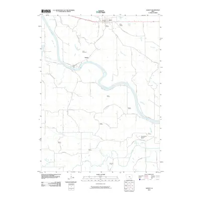 2010 Agency2010 Print · USGSWapello County's river-carved landscape comes into focus in the years after the turn of the millennium, centered on the historic town of Agency. Researchers can trace early family sites through numerous burial grounds like Chief Wapello Cemetery and Mars Hill Cemetery.
 - 2010 Map of Blakesburg, 2010 Print
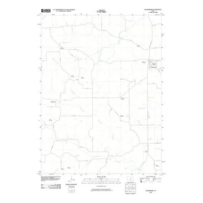 2010 Blakesburg2010 Print · USGSBlakesburg and the rolling countryside of Wapello County are captured here in the early twenty-first century. Genealogists can trace family heritage through an unusual concentration of burial sites, including Kipnart, Trussell, and Albany.
 - 2012 Map of Bunker Hill, 2012 Print
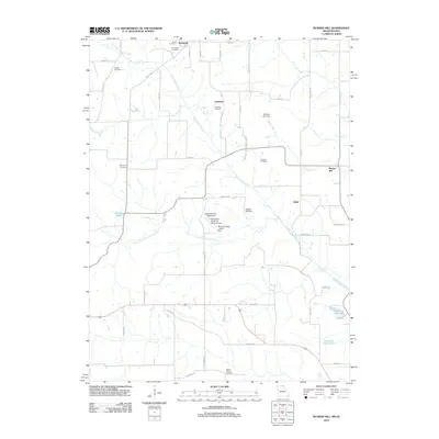 2012 Bunker Hill2012 Print · USGSThe Missouri-Iowa borderlands near Lunsford are captured here in a period of modern rural management. Genealogists can trace family roots through numerous sites like Walker Chapel Cemetery and Howell Cemetery, or locate landmarks like the Newcomb Hereford Ranch Airport.
 - 2012 Map of Coatsville, 2012 Print
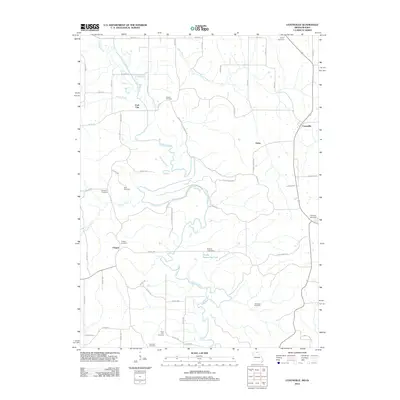 2012 Coatsville2012 Print · USGSThe Missouri-Iowa borderlands are captured here in the early twenty-first century, centered on the winding Chariton River valley. Genealogists and local historians can trace family ties at Hilltown Cemetery, Bratcher Cemetery, and the rural community of Coatsville.
 - 2012 Map of Lancaster, 2012 Print
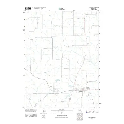 2012 Lancaster2012 Print · USGSSchuyler County, Missouri, at the start of the 2010s reveals a structured rural landscape centered on the historic town of Lancaster. Researchers can trace local heritage through numerous burial sites like Liberty Cemetery and explore landmarks such as Ursel Gingerich Lake.
 - 2012 Map of Brock, 2012 Print
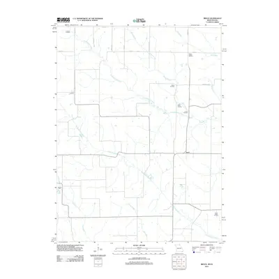 2012 Brock2012 Print · USGSScotland County, Missouri, is shown here as it appeared in 2012, characterized by its quiet agricultural character and winding river valleys. Genealogists can trace family heritage through numerous scattered sites like Hubbard Cemetery, North Bethel Cemetery, and the small settlement of Brock.
 - 2012 Map of Kilwinning, 2012 Print
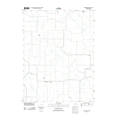 2012 Kilwinning2012 Print · USGSScotland County's agricultural borderlands are captured here during the early twenty-first century as the traditional farming grid persists. Genealogists can locate family burial sites at Lister and Cone, or trace small rural hubs like Kilwinning and Hitt.
Showing maps 1-25 of 100
Top cities of Davis County
Frequently asked questions
- What are the different types of historical maps available for Davis County?
- What is the oldest map of Davis County?
- Where can I purchase historical maps of Davis County for my home or office?
- Where can I download high-res historical maps of Davis County?
- Are there historical topographic maps available for Davis County?
- Is there historical aerial imagery available for Davis County?
- Where are historical maps of Davis County sourced from?